Backpacking with Andrew to Lake Aloha
In a massive improvement to my time between backpacking trips, I managed another just nine months after going to Deafy Glade in Mendocino. This time Ruffie and I went with our friend Andrew to Lake Aloha in the Desolation Wilderness in the Sierras. We spent three nights, enough time for strenuous hikes, changes of plans, plenty of relaxation and even some animal food theft. I hiked 23 miles and 4,100 feet of elevation across four days.
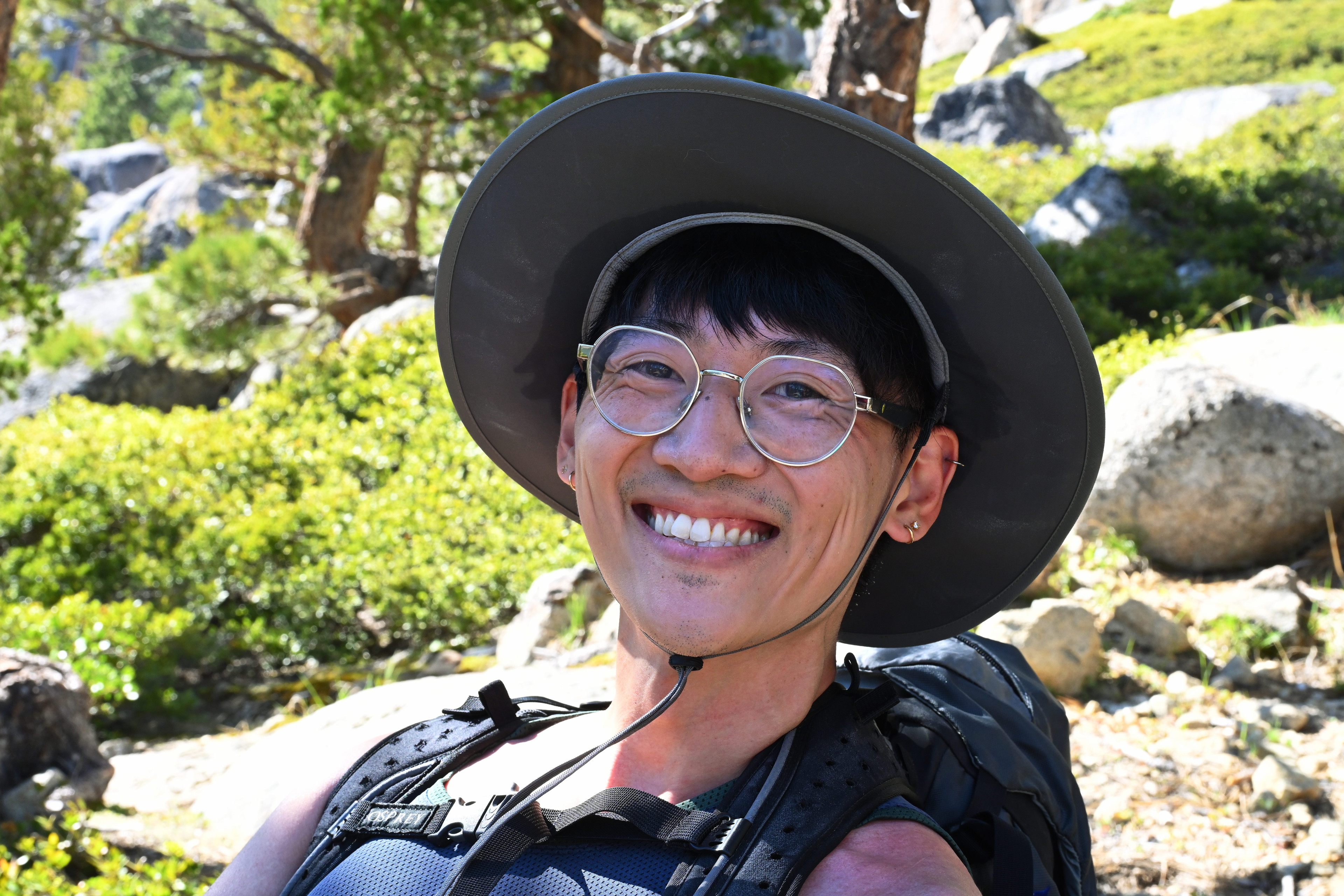
I met Andrew only about a month prior in early May. We got along well, and he’s pretty outdoorsy. I told him I would consider the climbing gym with him sometime, but I’d be quite down for some camping. Then his June hospital schedule bestowed a weeklong opportunity early in the month. Being laid off, my own free period aligned rather well with his. Andrew kindly took it upon himself to identify some dog friendly destinations for which permits remained available, the Desolation and Emigrant wildernesses.
Andrew had only backpacked one night in the past, and I had only done two, back when I hiked the Necklace Valley Trail in the Cascades with Keith and friends in 2013. We decided to aim for at least three nights this time. I had to figure out my strategy for power and food.
I already reduced my pack weight by several kilograms since last time by changing to a fancy new Durston X-Mid Pro 2+ tent, weighing about a third of my ALPS Mountaineering Chaos 3 person tent, and getting a Therm-a-Rest NeoAir UberLite sleeping pad. Still, I struggled to keep the weight down, and ended up with another grossly overweight pack of 27 kilograms.
Part of my problem was overpreparedness, or perhaps underpreparedness. I brought three headlamps and three flashlights. Ideally it would have been just one headlamp, but it was a new one I hadn’t had time to test. I feared it wouldn’t last three nights and I would fail to recharge it. The backup was a smaller one that takes AAA batteries, and I brought extras. The third was an irrational backup of the backup — I told myself its wider band of LEDs might be useful in certain situations, such as lighting up the tent. It was a similar story with the three flashlights. And two knives. And the recharging. I got a new 20 watt solar charger, but also brought a beefy battery since I hadn’t tested the charger. Andrew ended up bringing his own beefy battery, but it somehow failed completely! Then, of course I needed to bring my camera. At least I decided on the very small AOKA CMP163C tripod with KB20 ball head. I also brought too many clothes, in part because a sudden heat wave confused what was originally going to be a snowy trip with near freezing night temperatures.
We also needed to figure out what food to bring and how we would store it. I read the method of hanging a bag of food with rope to keep it away from bears has apparently fallen out of favor, and now “bear cans” are required in many places, including Desolation Wilderness. I bought a small one after my last trip, but would need a larger one for this three day trip with two people and a dog. I picked up the largest BearVault, the BV500, since it weighed basically the same as the next size down I was considering, at 41 ounces versus 36.
That all is to say, we learned a lot!
Monday
We thought we might head out Monday. Andrew came over in the afternoon after getting his sweet kitty Pia settled. We ventured down to my scary garage to get the tent and some other gear. We tested the sleeping pad and my cute little ZERO PUMP I got via IndieGogo, which worked surprisingly well. We tested the tent setup. It was pretty straightforward generally but we weren’t quite sure where to stake it, and the cords and loops were different on each corner. I referred to the product photo and made sure to save it on my phone. Then we walked Ruffie and headed to the grocery store. We decided to supplement some of the decade old Mountain House dehydrated meals I had with ramen noodles, miso soup, cheese and salami sandwiches and trail mix. We had an amazingly difficult time getting that all into the bear can along with 12 cups of dog food. I had to resort to keeping about a third of the food outside the bear can and hoping we were very hungry the first day.
Night approached, and I had a lot of searching and packing to do. Andrew decided to go home to get one good night of sleep. I was a little disappointed but understood. I ended up sleeping half past midnight. My bag was not fully packed but already heavy, too heavy.
Tuesday
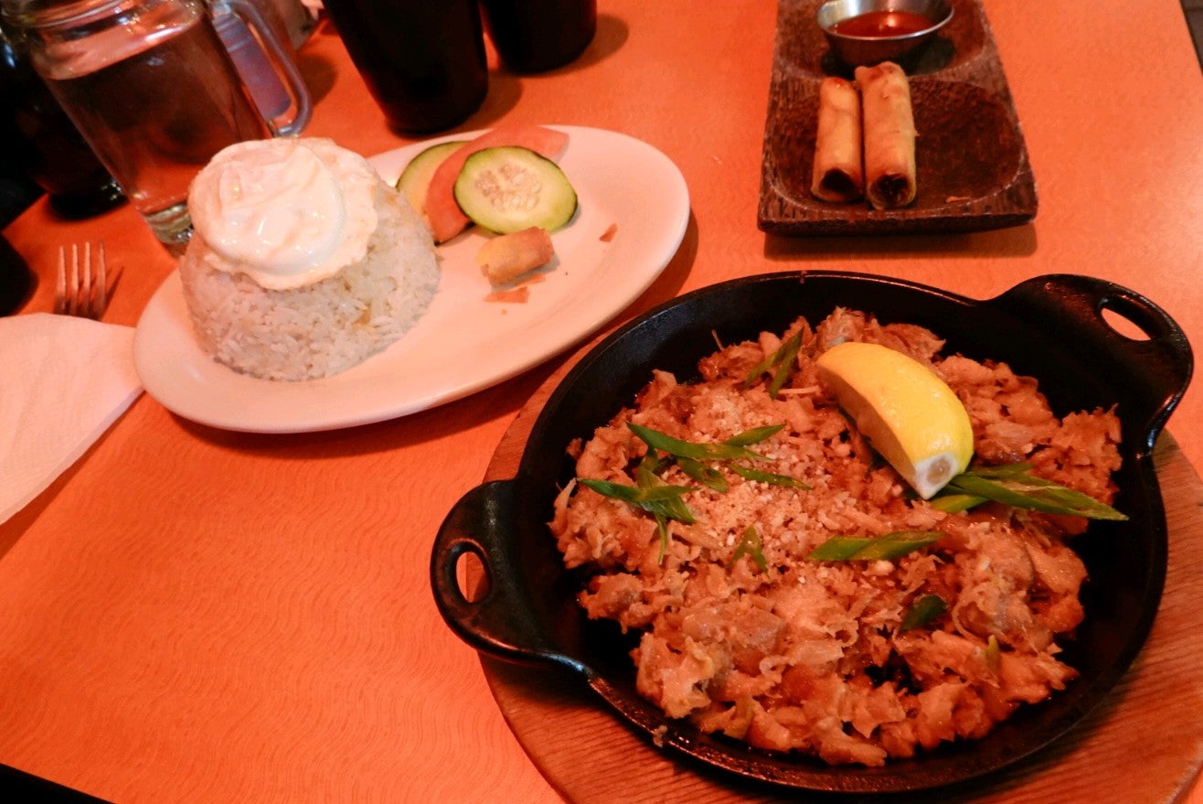
I woke around 08:50, finished packing, loaded the car with the stuff and Ruffie and picked up Andrew at about 10:30. We listened to Assembling California by John McPhee. We stopped in Sacramento and ate at a Mexican restaurant called Nopalitos at 5530 H Street. It was quite hot, but they had an outdoor table in the shade that Ruffie could sit by. The waitress brought Ruffie a foam bowl of water. Andrew got a wet tamales bowl, and I got a burrito. They were both good!
On the way to Desolation, we stopped in Sacramento at Nopalitos, a southwestern restaurant that only takes cash and checks. I had a burrito, Andrew had a wet tamale bowl thing, and Ruffie had chips and water!
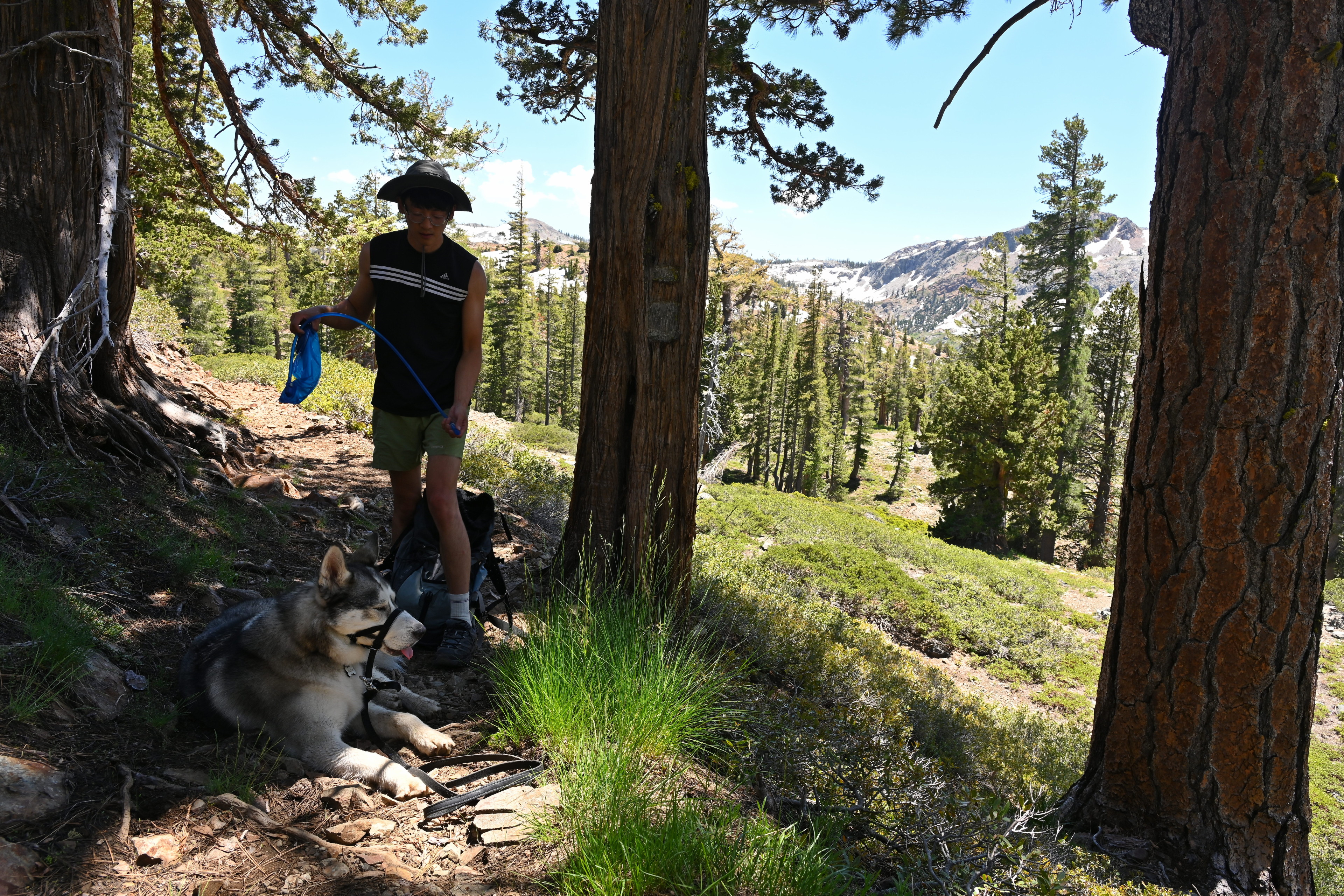
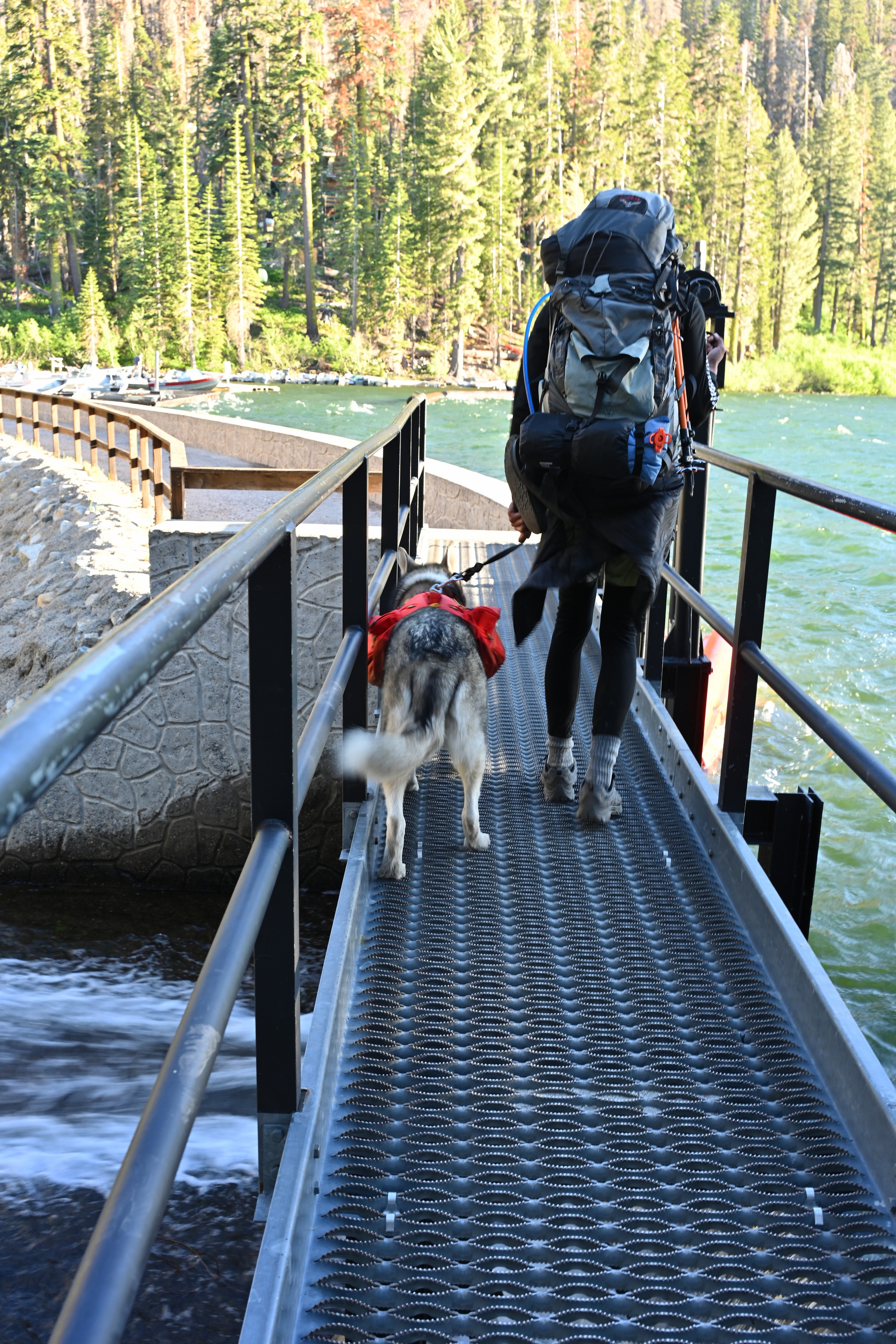
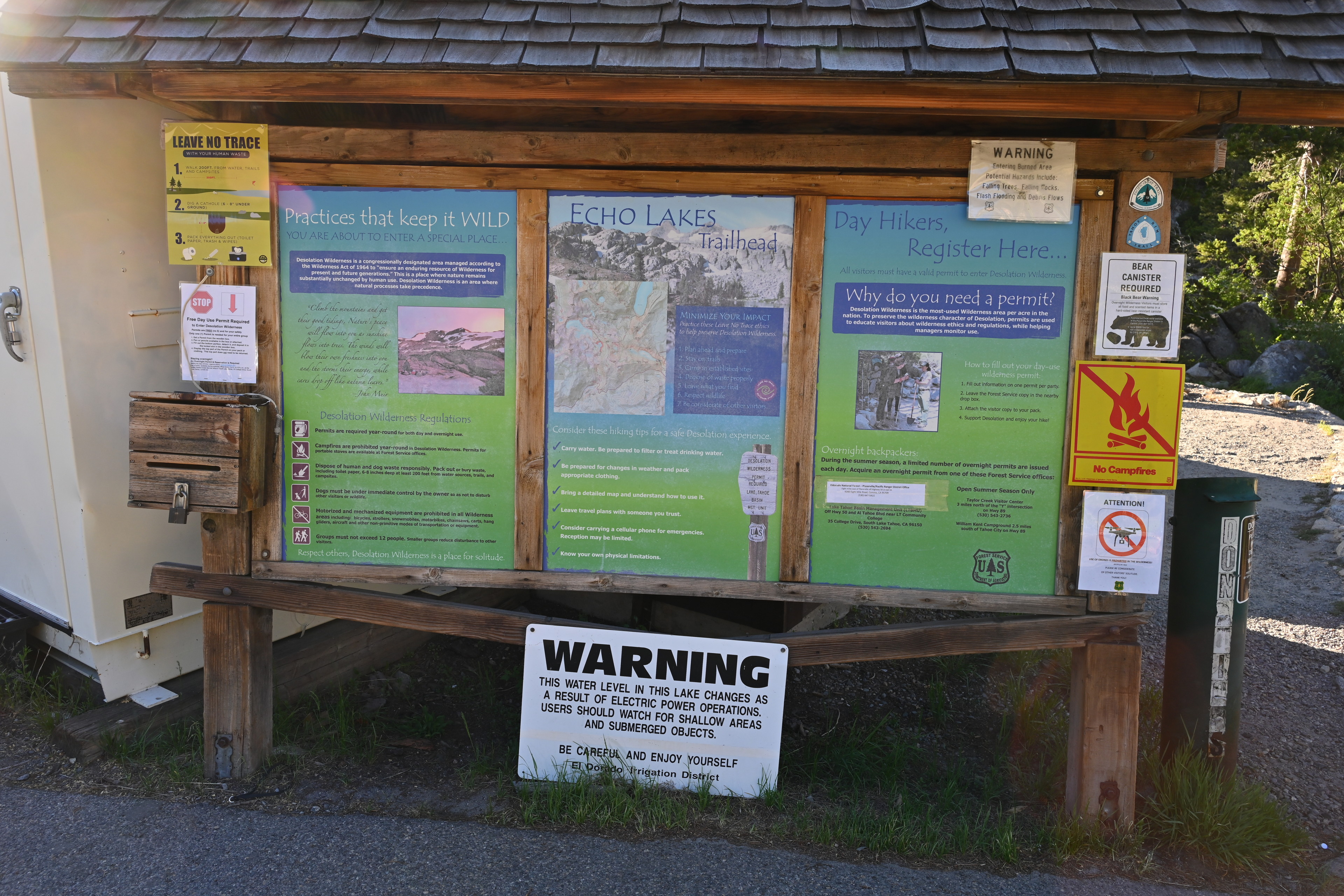
We were back on the road around 13:30. We stopped one last time for a gas top up and some snacks at the Shell at 151 Main Street in Placerville. Then we hit a traffic jam due to a lane closure and some construction. We sat in the heat without moving for around an hour before we could continue to the Echo Lakes Trailhead. Navigation was a lot smoother than getting to Deafy Glade in Mendocino. My only confusion was about where to park. We passed a parking lot on the way down to the trailhead, but it wasn’t marked and I wasn’t sure if we were supposed to park there and walk down. We proceeded to the Echo Chalet parking lot, which was clearly marked “No overnight parking”, but saw a spot on the side of the road after exiting that small lot. We decided to park there instead of driving back up. We assembled ourselves, applied essential oils to Ruffie for tick prevention, and headed out at about 16:00. Later than planned, but still potentially with enough time to get there before dark.

We walked past Echo Chalet to get to the trailhead.
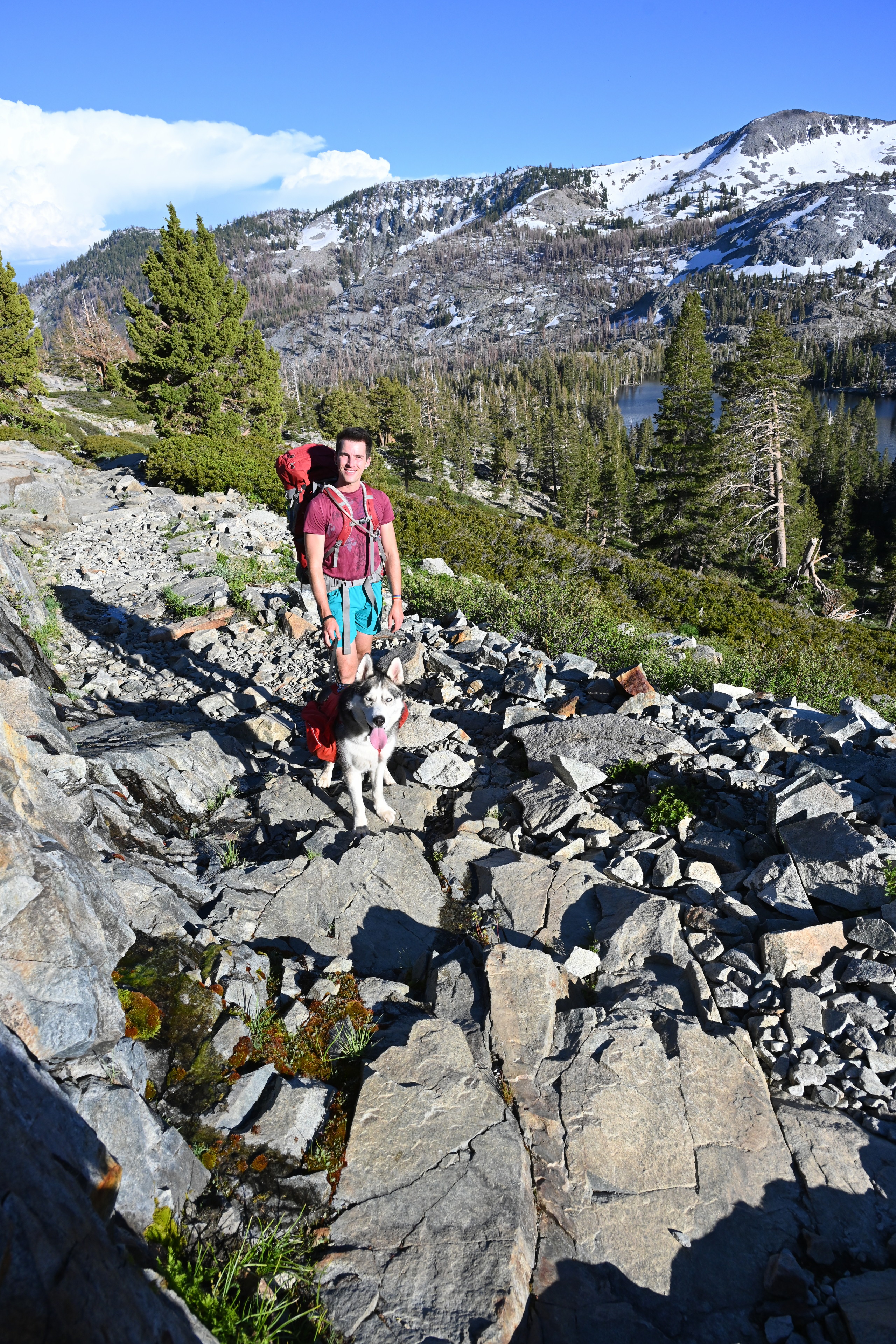
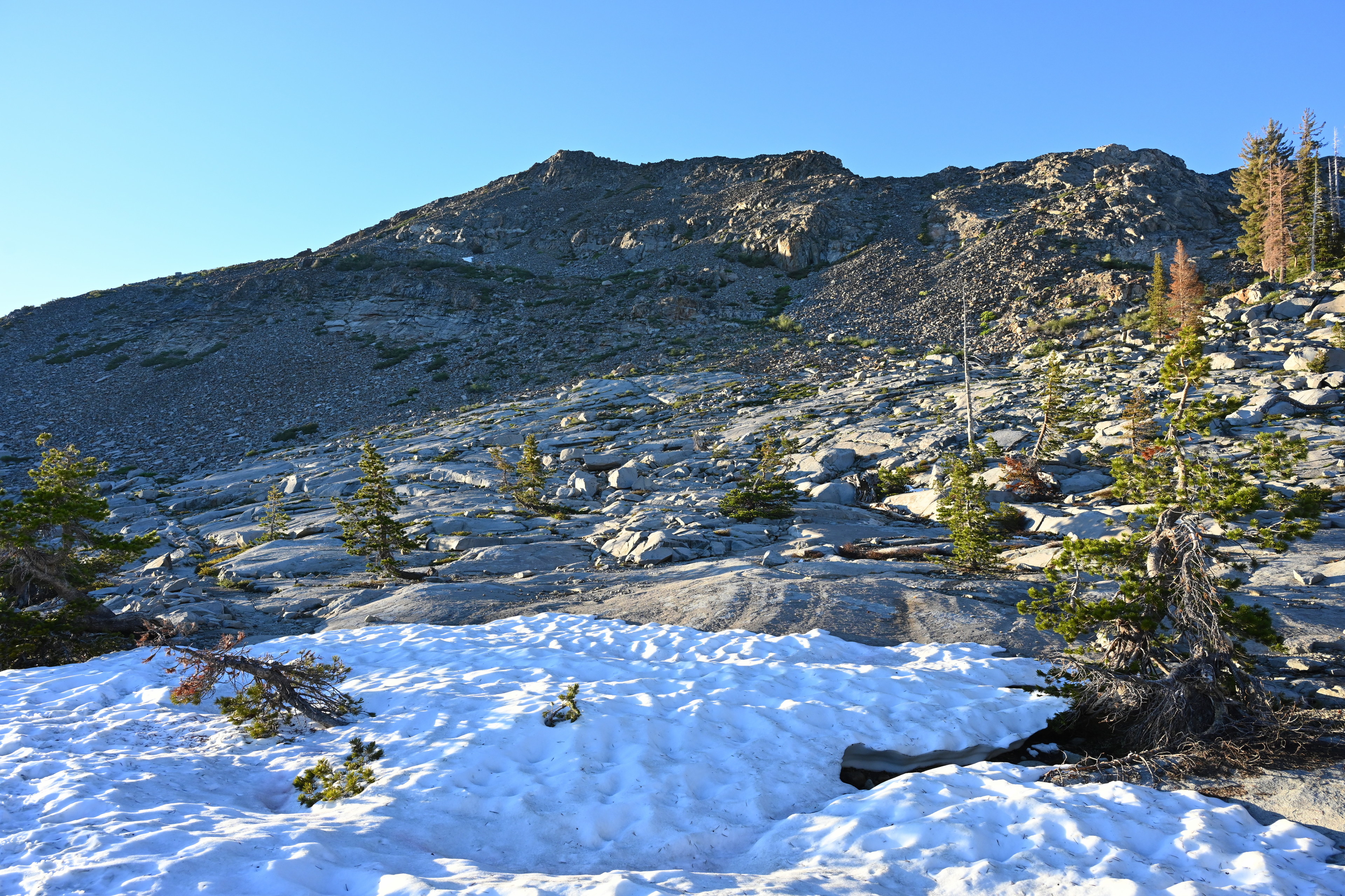
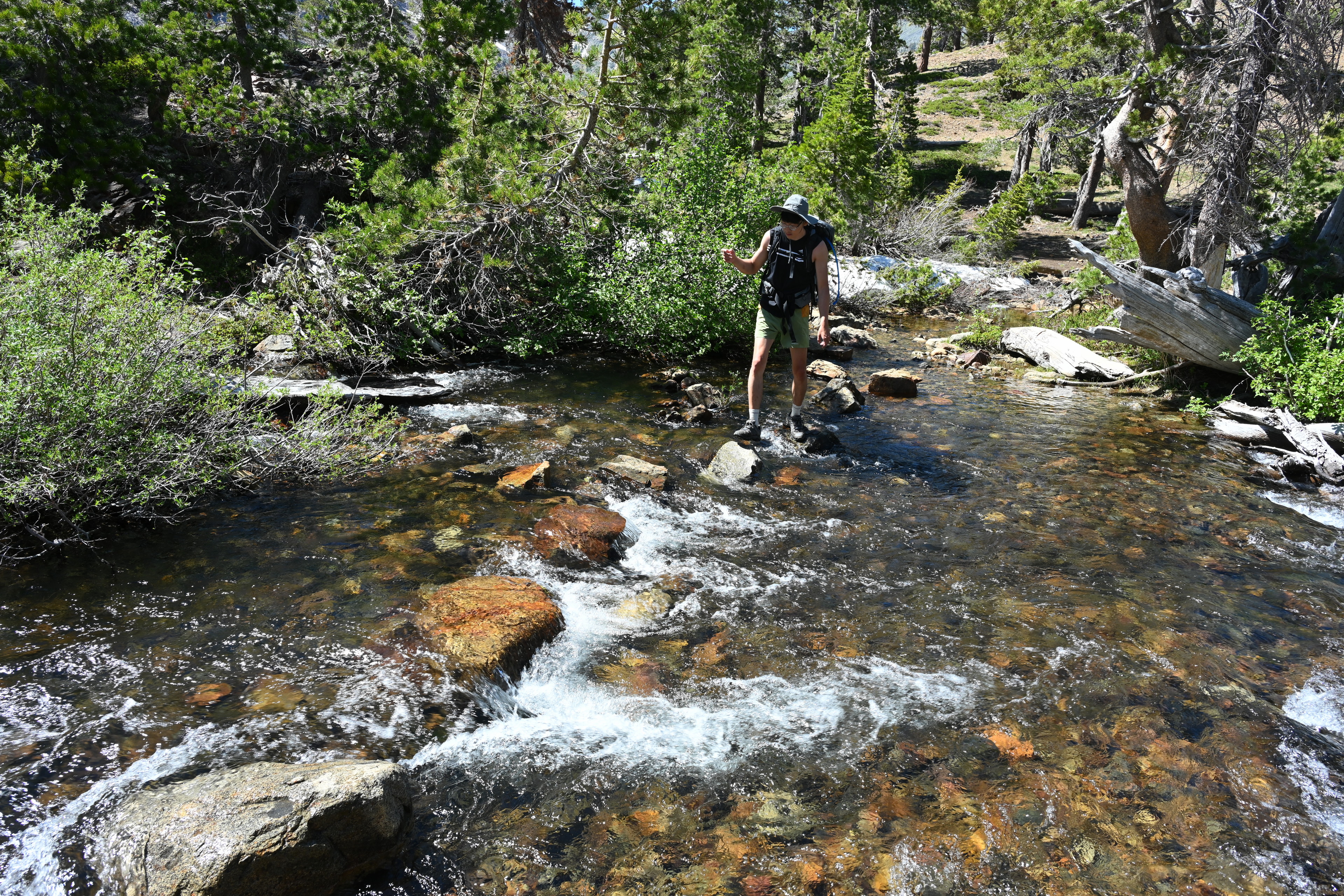
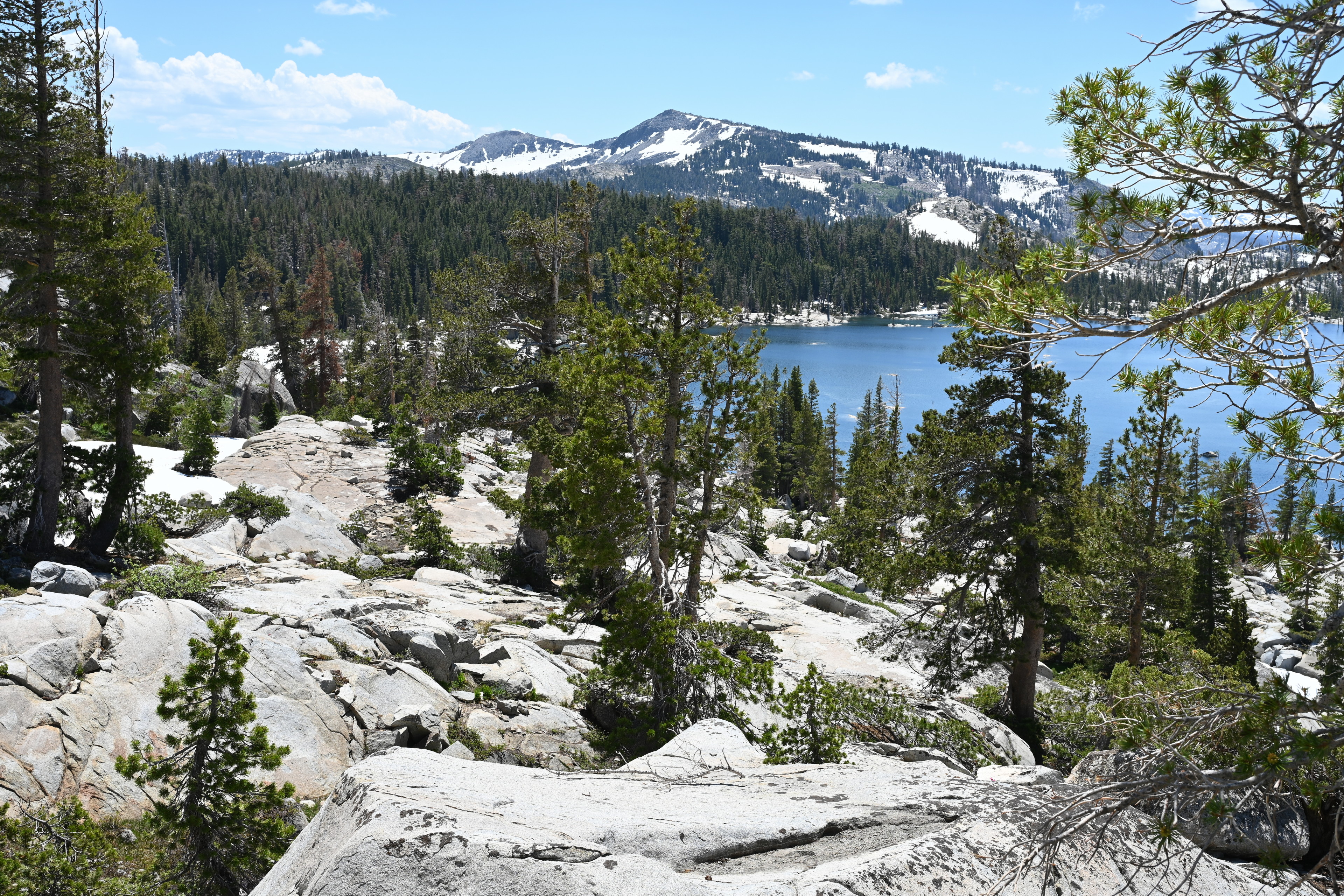
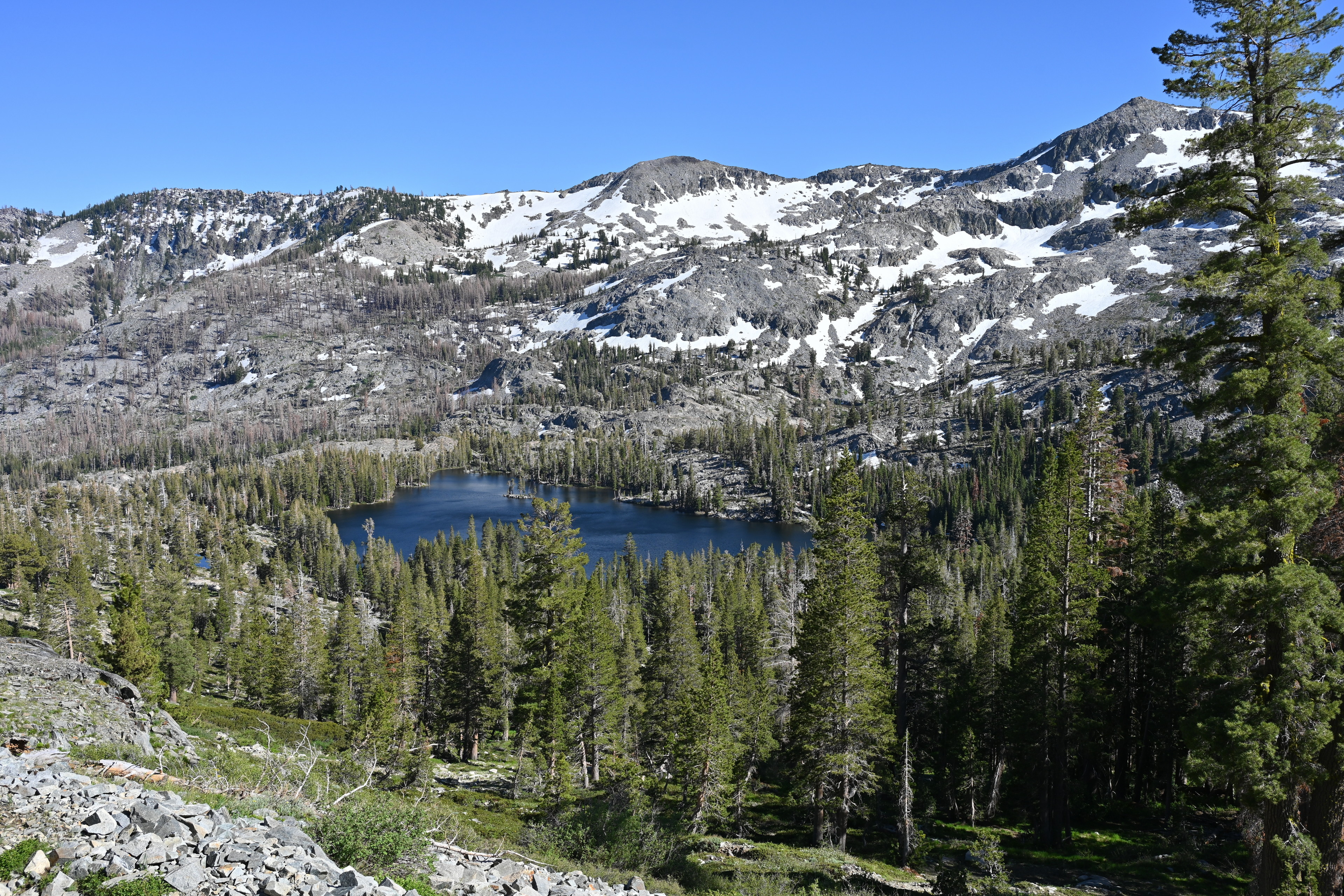
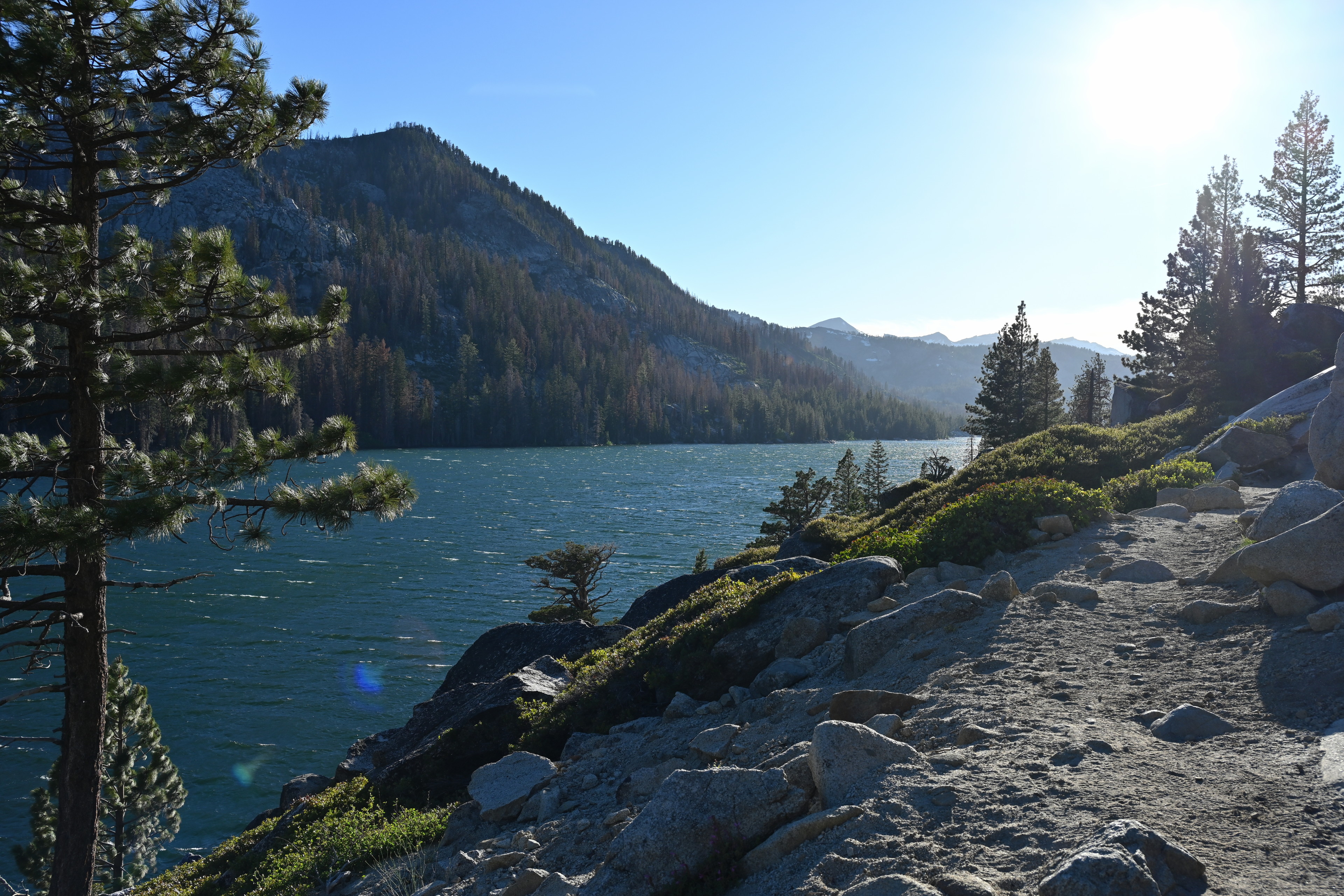
The first segment to Lake Aloha would be about 6.5 miles. The first half of that was fairly level after an initial climb away from the lake. I was surprised how well defined and maintained it is. We crossed paths with about a dozen sets of hikers as we went, but it was not crowded at all. The lakes and the forests were beautiful!
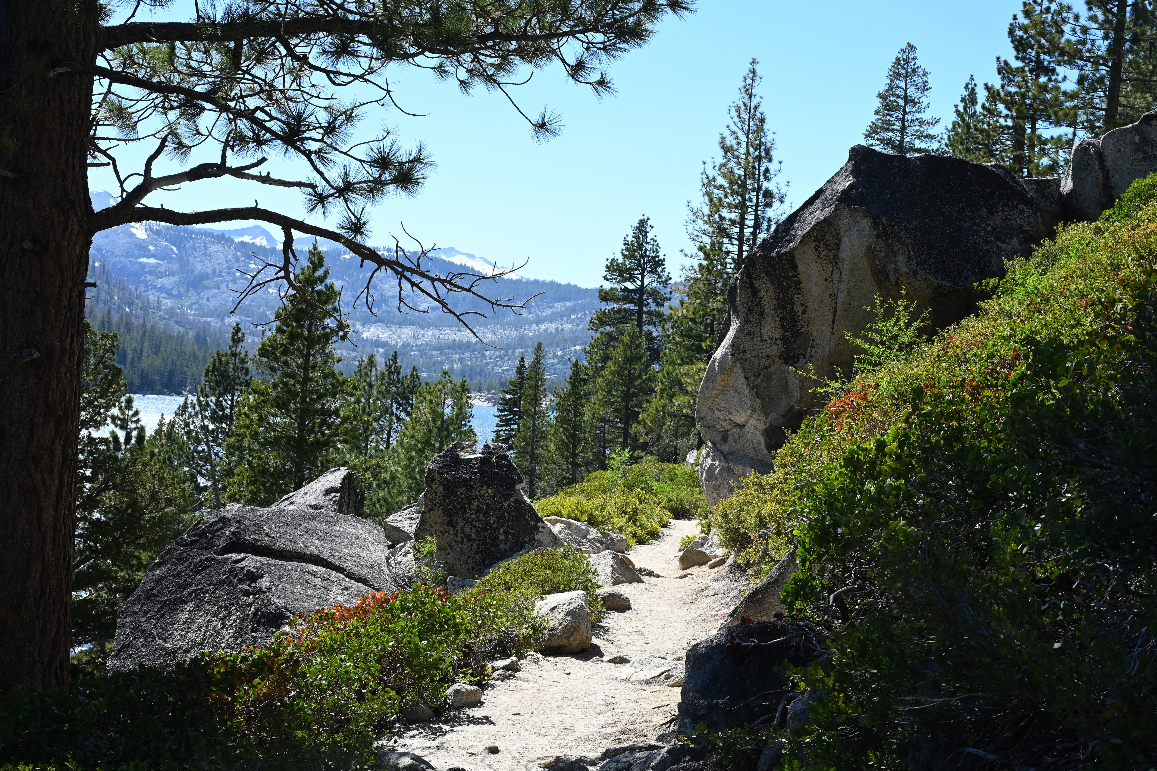
We hiked the Pacific Crest National Scenic Trail past Echo Lakes to Lake Aloha.
We hiked the Pacific Crest National Scenic Trail past Echo Lakes to Lake Aloha.
We hiked the Pacific Crest National Scenic Trail past Echo Lakes to Lake Aloha.
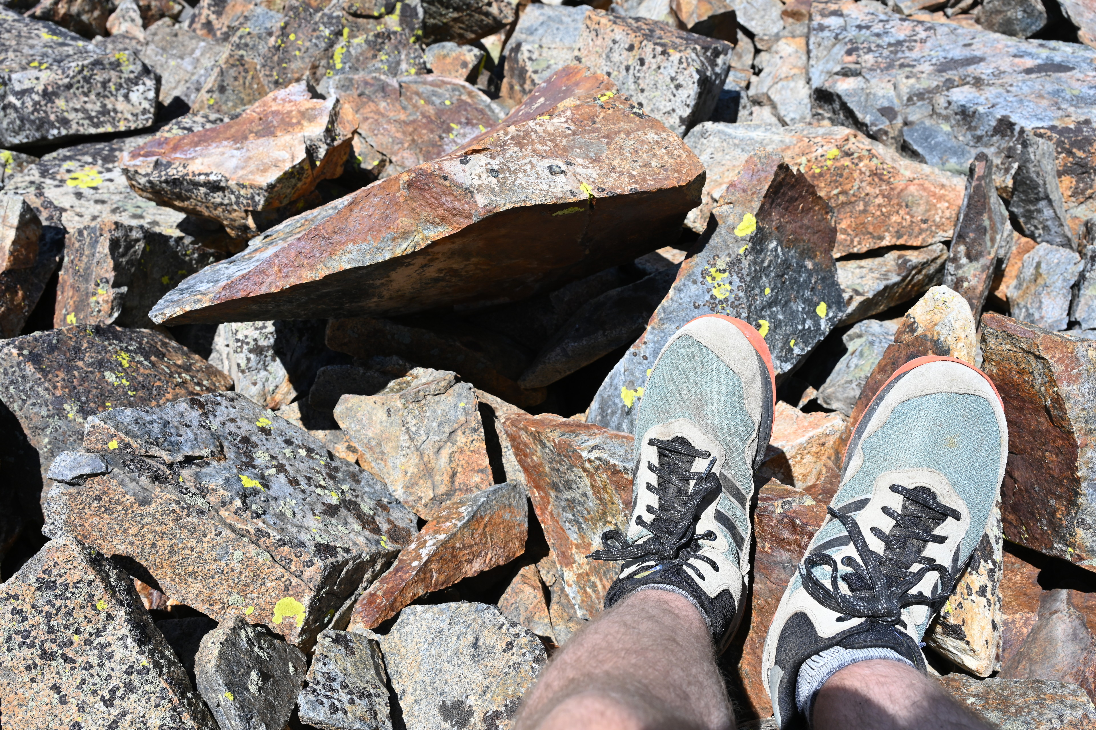
We slowly ascended from 7,500 to 8,330 feet starting at 2.8 miles and entered Desolation Wilderness at about 3.2 miles. Marking this was a robust sign that could use some paint for the lettering.
Entering the Desolation Wilderness. We hiked the Pacific Crest National Scenic Trail past Echo Lakes to Lake Aloha.
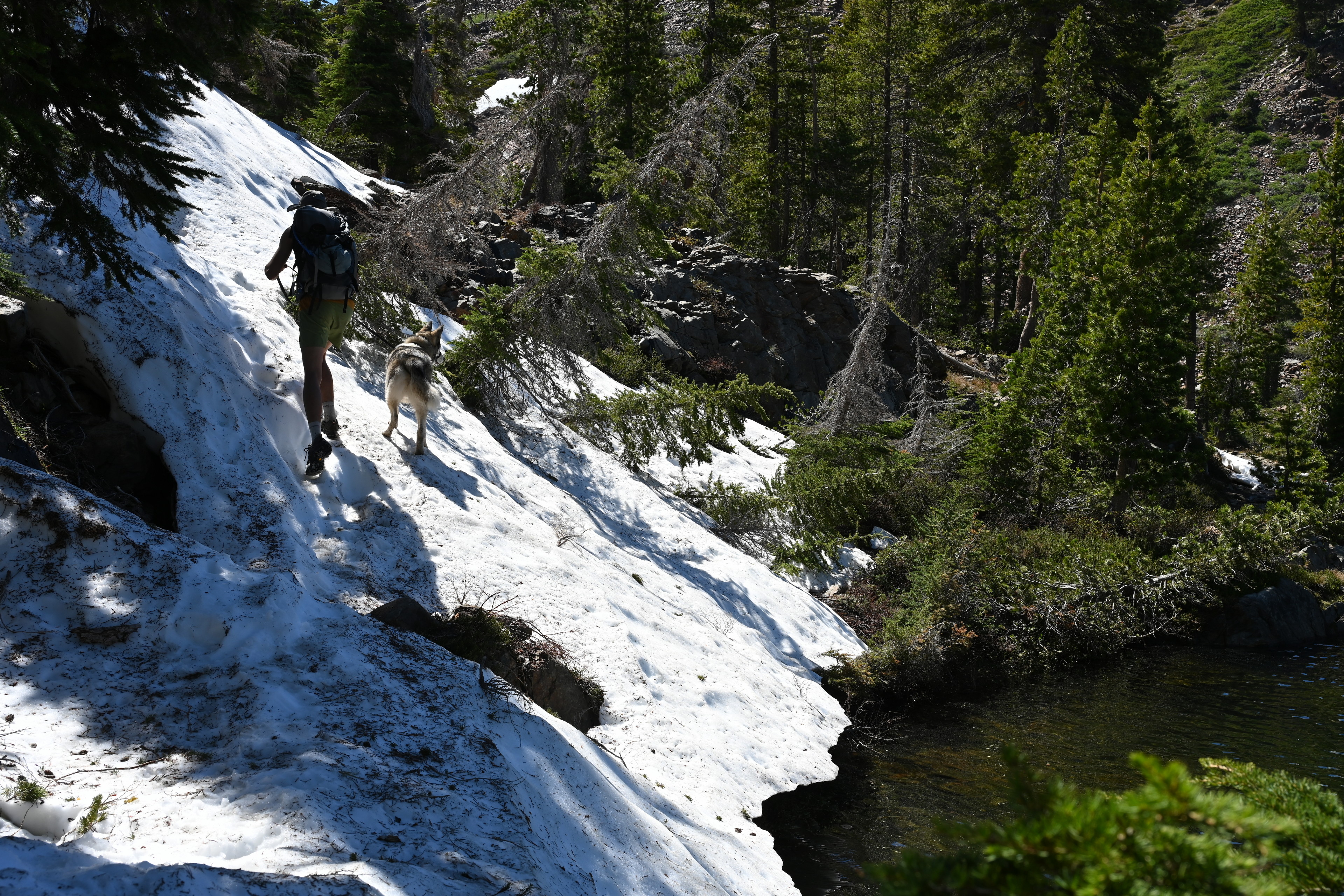
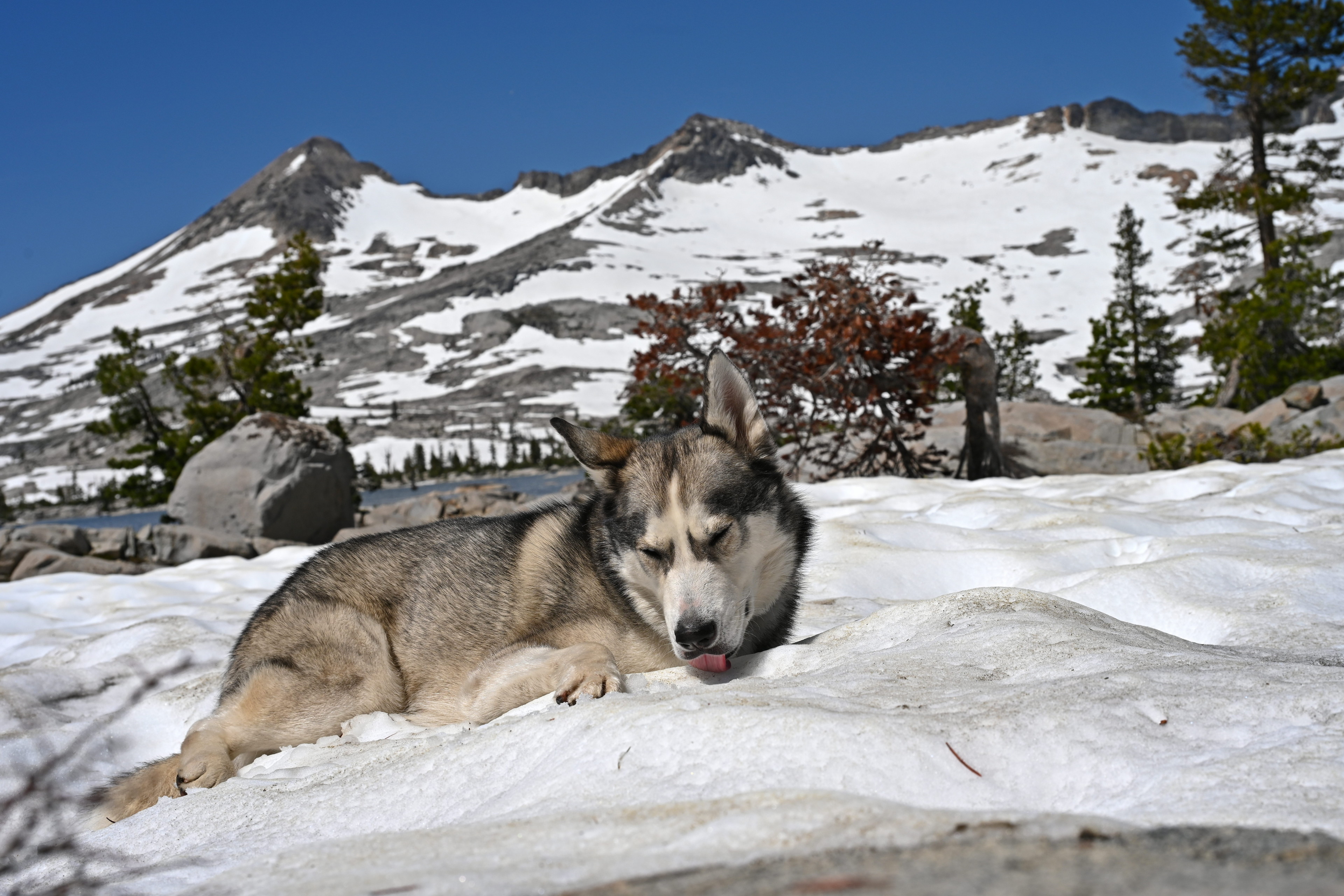
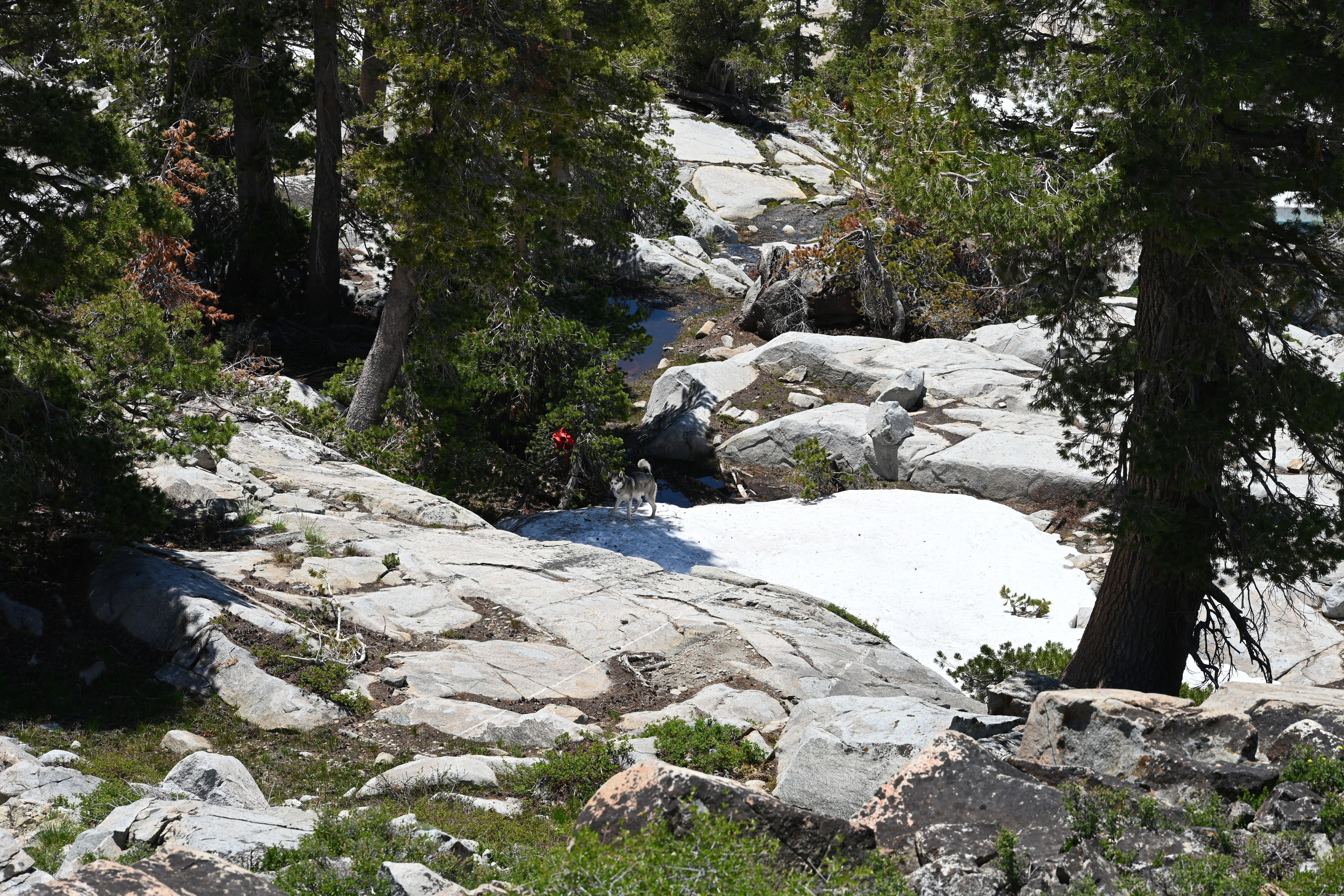
After reading recent Desolation Wilderness Volunteers reports about how much snow there still was around Lake Aloha, but seeing none for the first couple of hours, I started to worry. Not because I like snow — I say I moved away from the Midwest mostly to escape the cold — but because I was excited for Ruffie, a snow dog, to interact with his first snow.
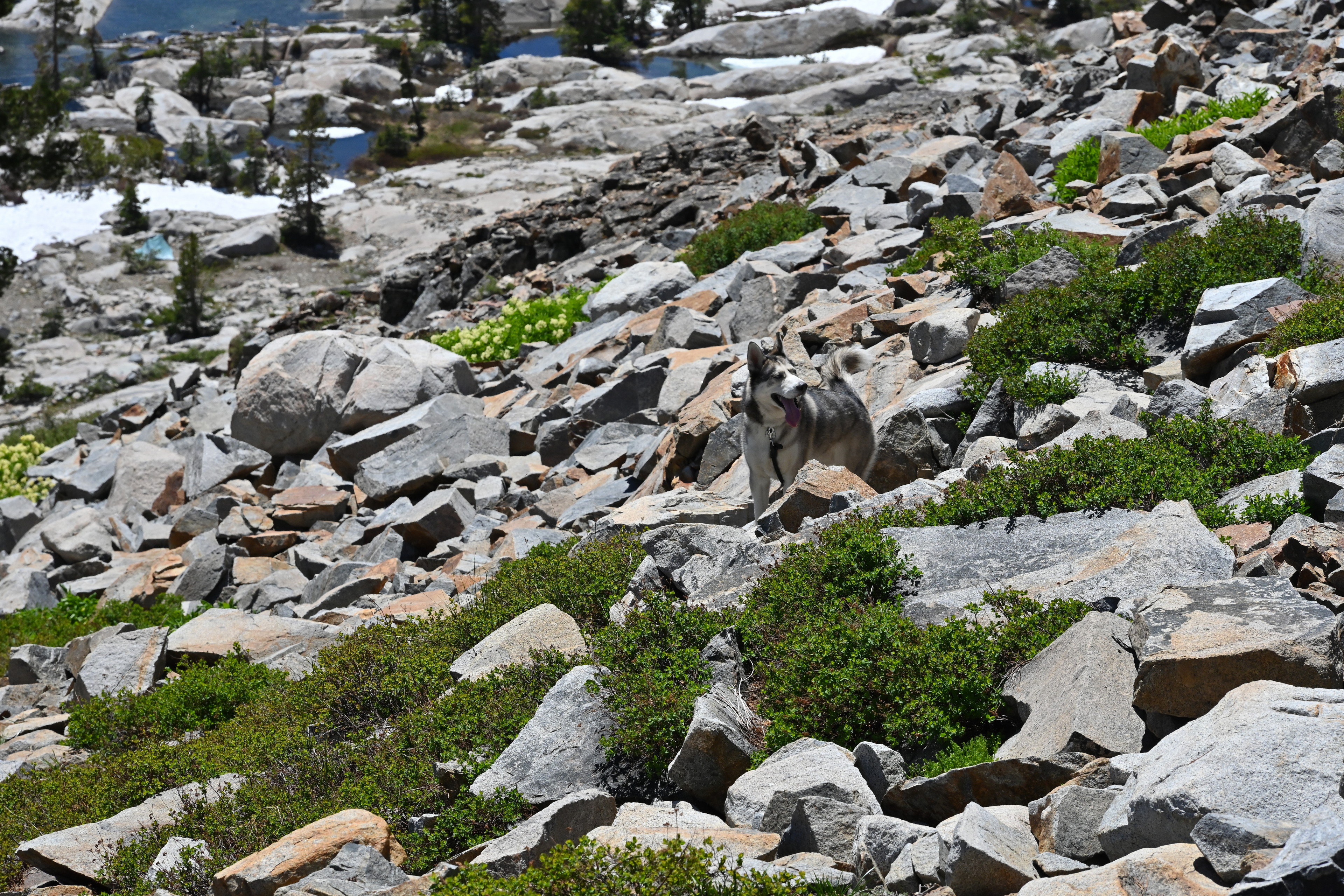
We did eventually encounter some. Ruffie walked onto it, then pushed his face down into it, rolled on his side and started licking it. I think he liked it!
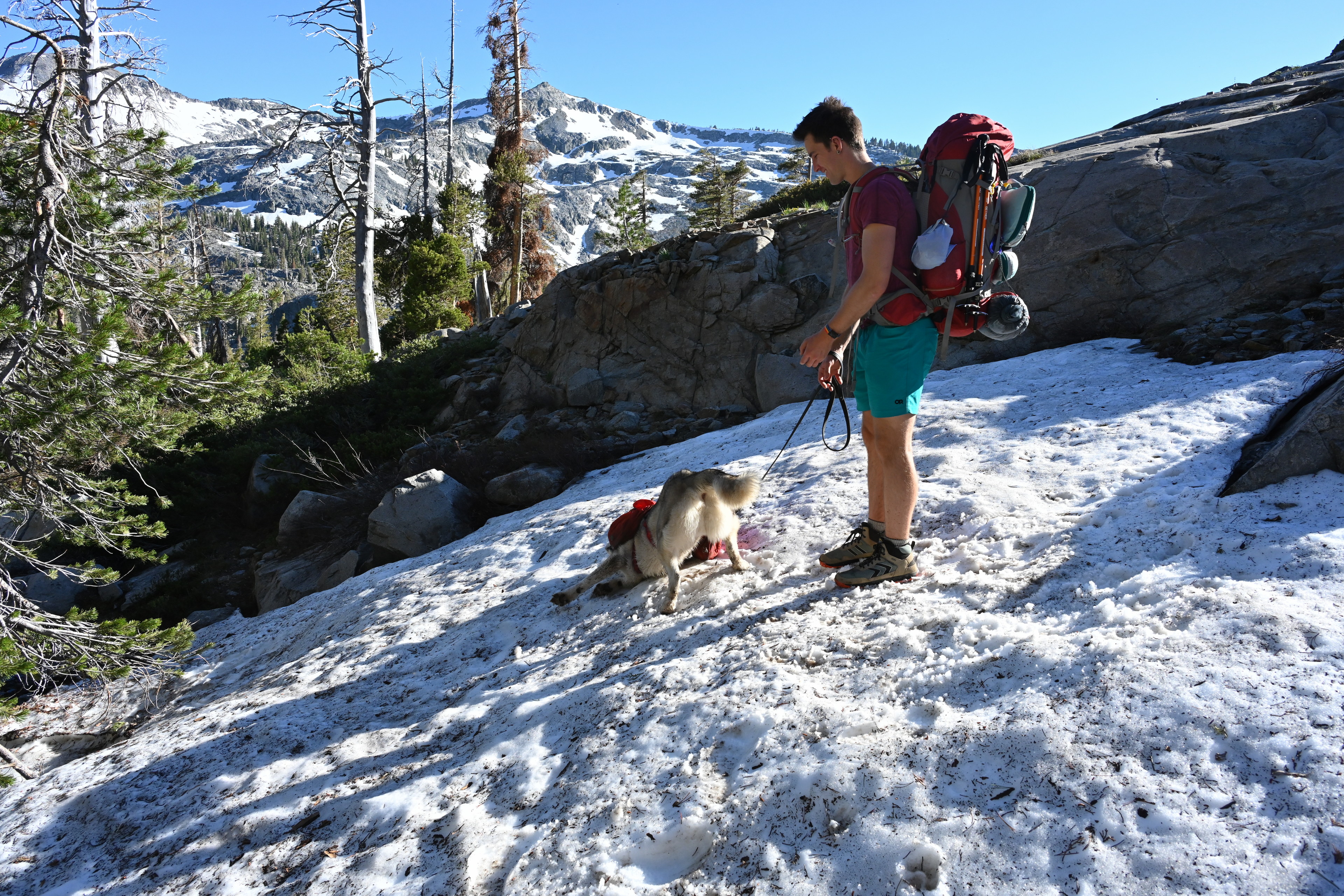
Ruffie's first time seeing snow. He immediately started rolling in it and licking it. Hiking the Pacific Crest National Scenic Trail past Echo Lakes to Lake Aloha.
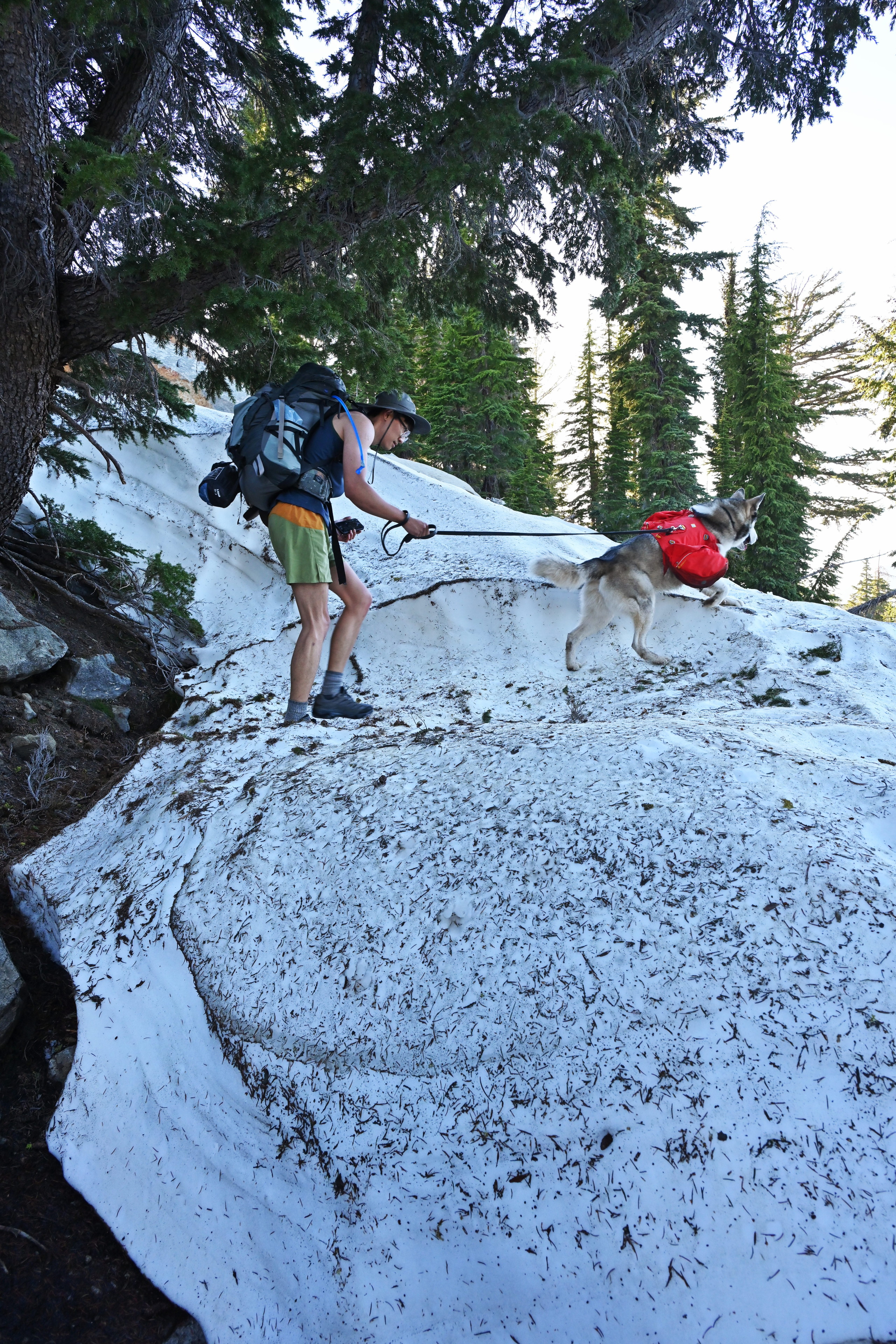
We kept going, and the snow kept coming. None of the hike was particularly difficult except for the places we had to climb over snow banks at an angle while trying not to slide down. And the fact my pack weighed about a third as much as I do.
We hiked the Pacific Crest National Scenic Trail past Echo Lakes to Lake Aloha.
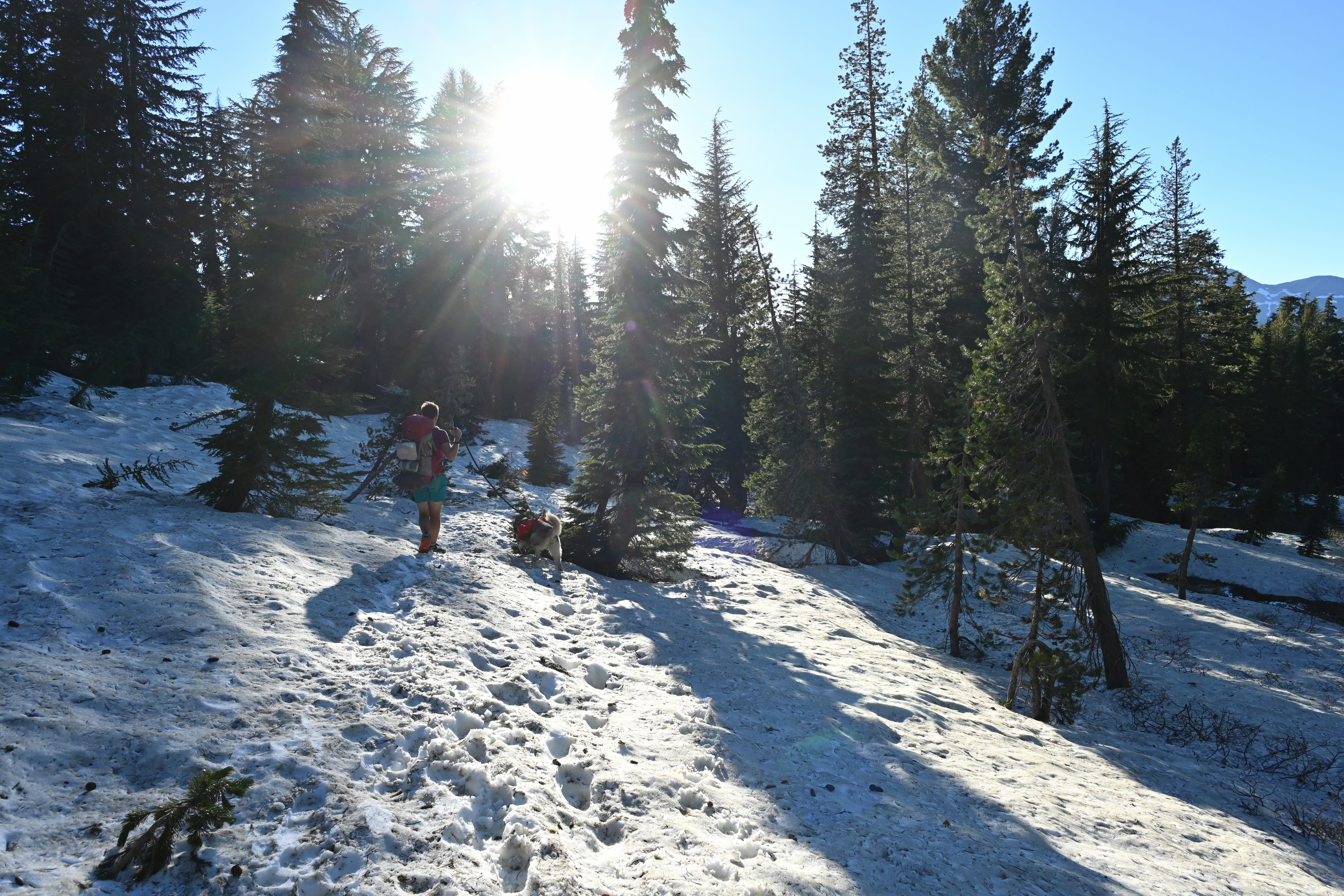
We hiked the Pacific Crest National Scenic Trail past Echo Lakes to Lake Aloha.
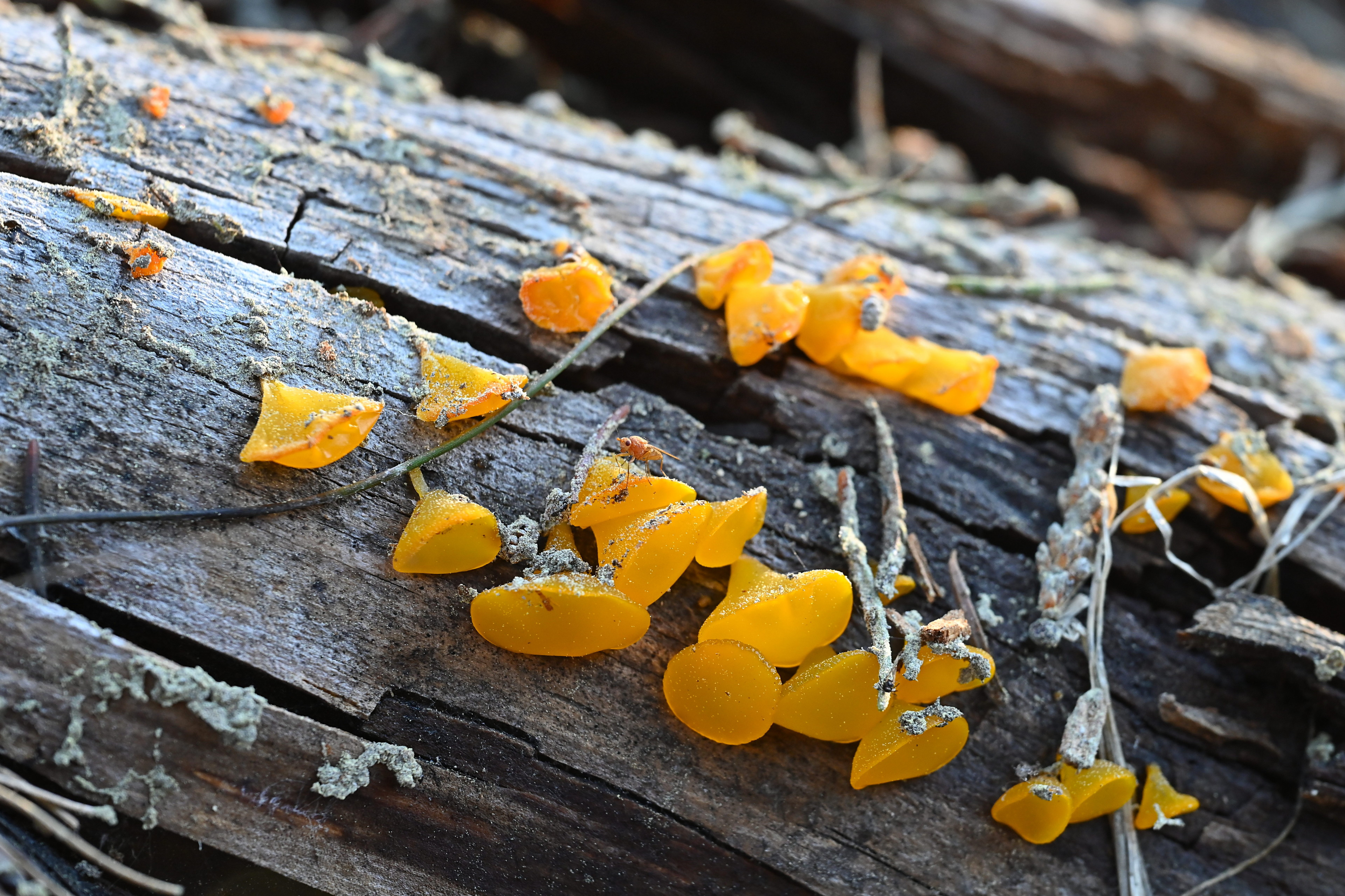
Guepiniopsis alpina, the alpine jelly cone. It's common on decaying conifers after snow melts. This is along the Pacific Crest National Scenic Trail between Echo Lakes and Lake Aloha.
We hiked the Pacific Crest National Scenic Trail past Echo Lakes to Lake Aloha.
We hiked the Pacific Crest National Scenic Trail past Echo Lakes to Lake Aloha.
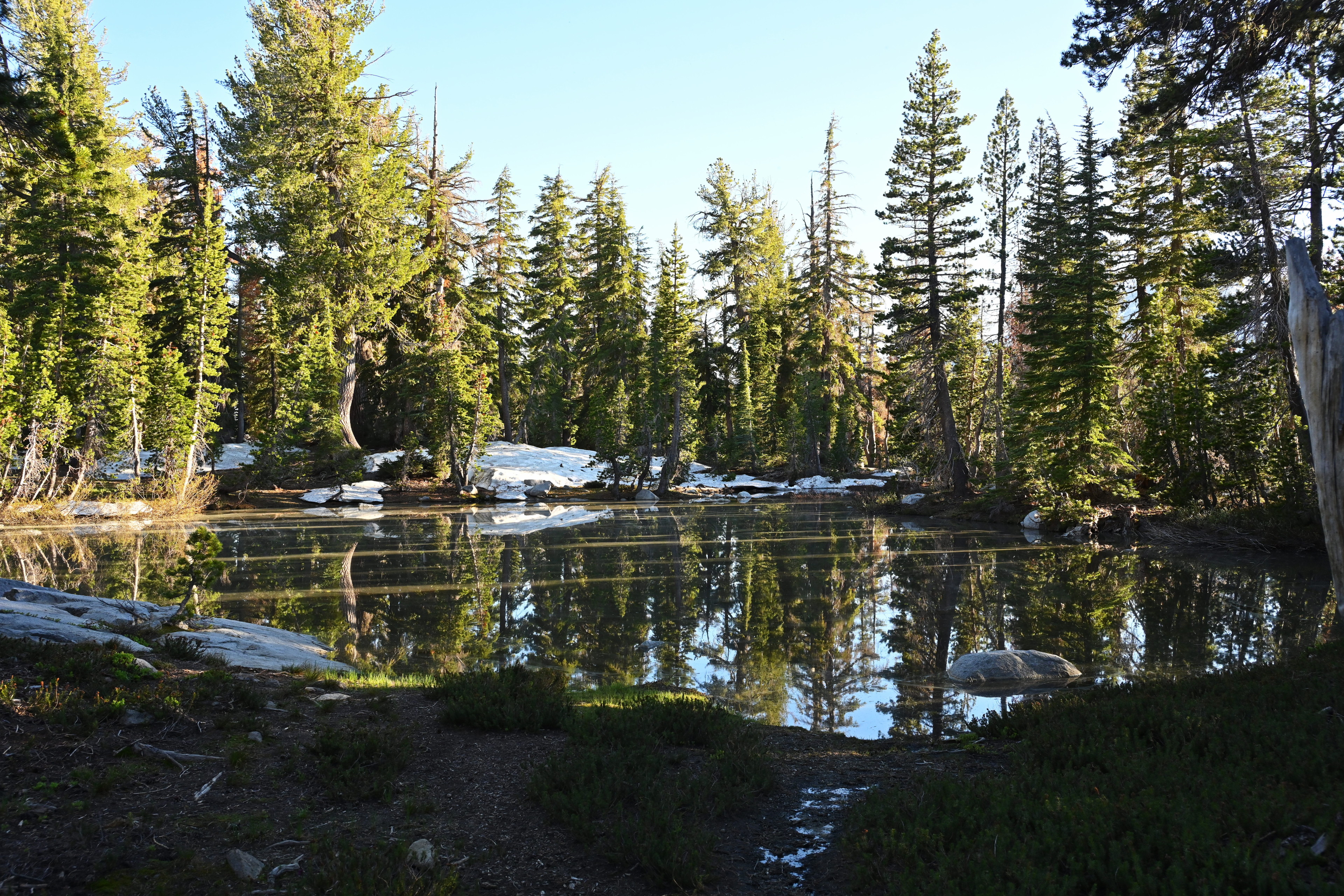
I loved all these presumably seasonal ponds left by the melting snowpack.
We hiked the Pacific Crest National Scenic Trail past Echo Lakes to Lake Aloha.
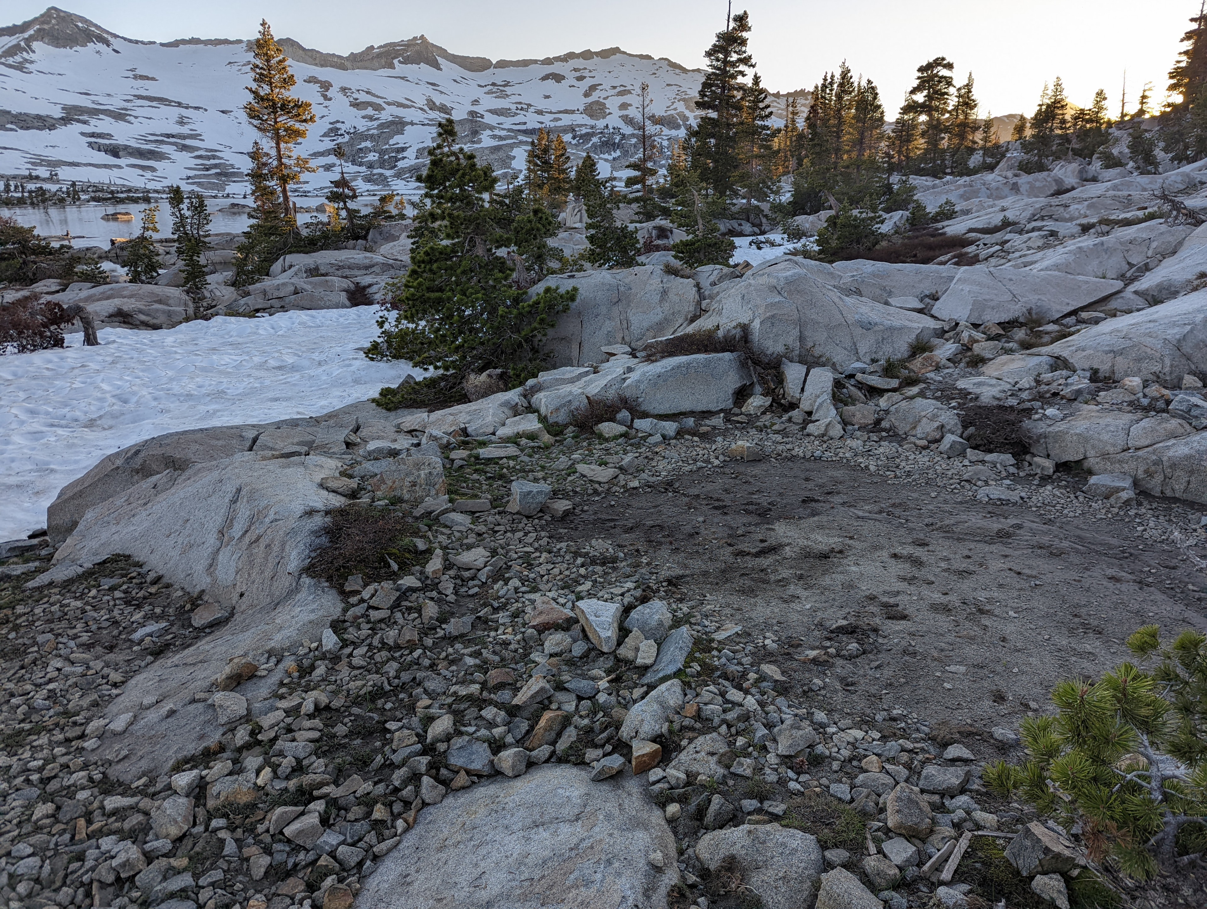
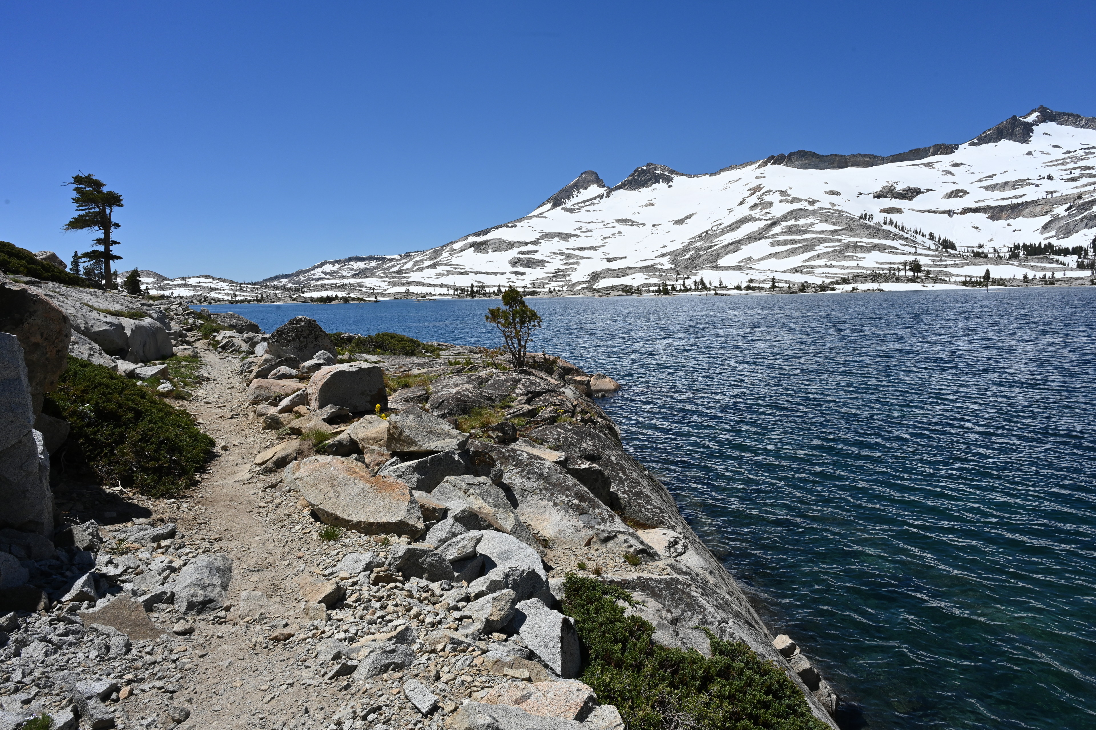
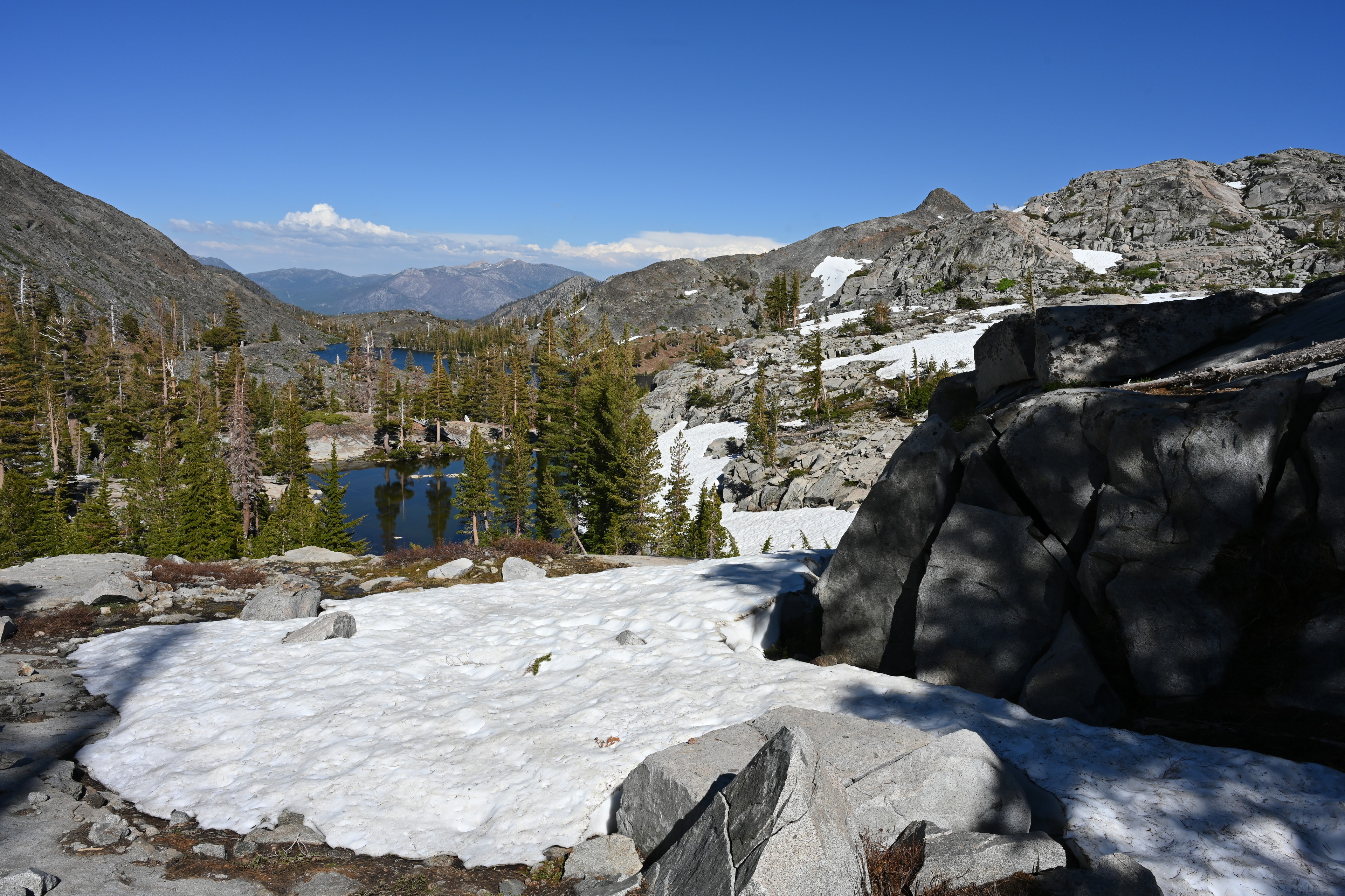
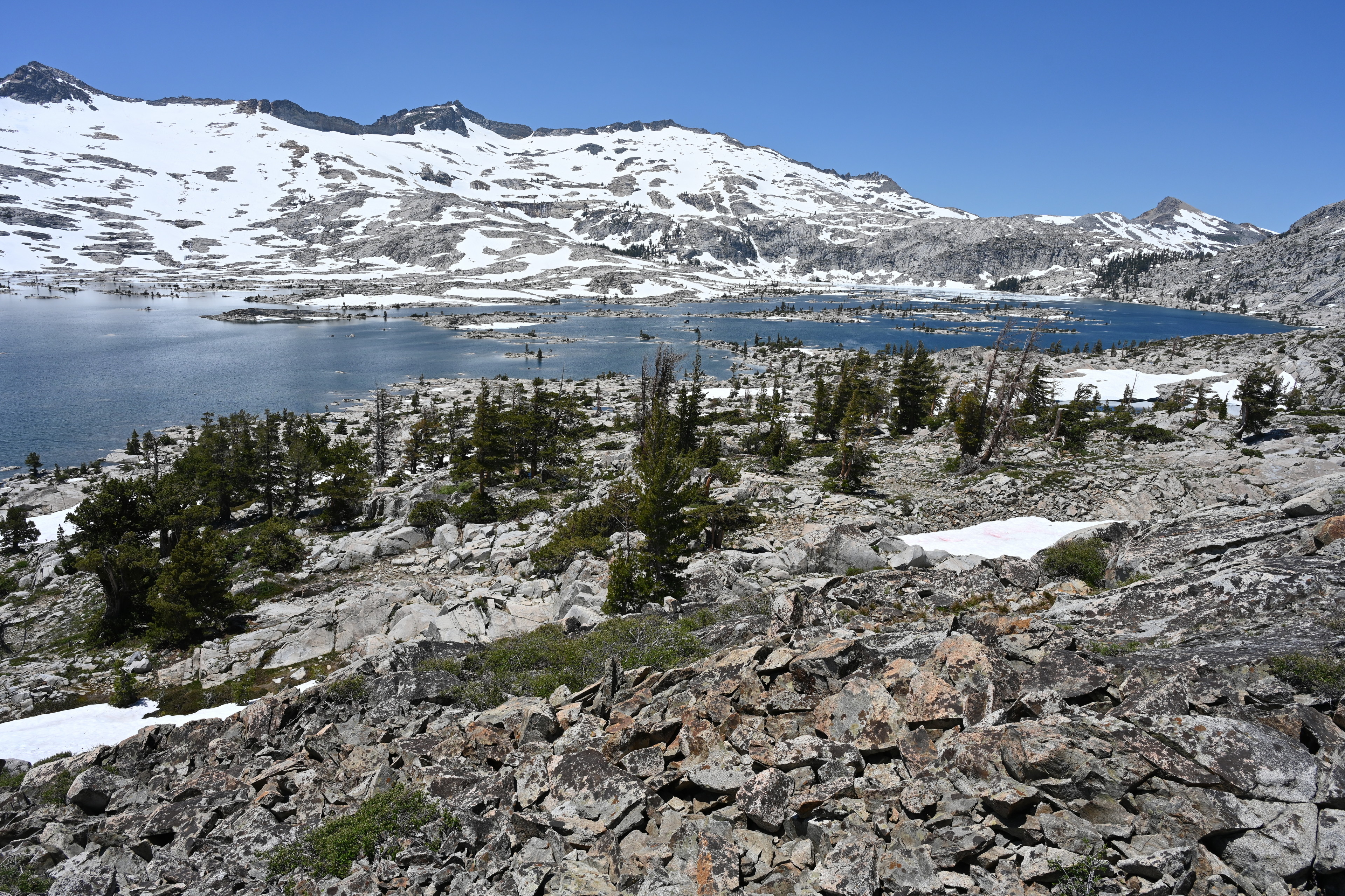
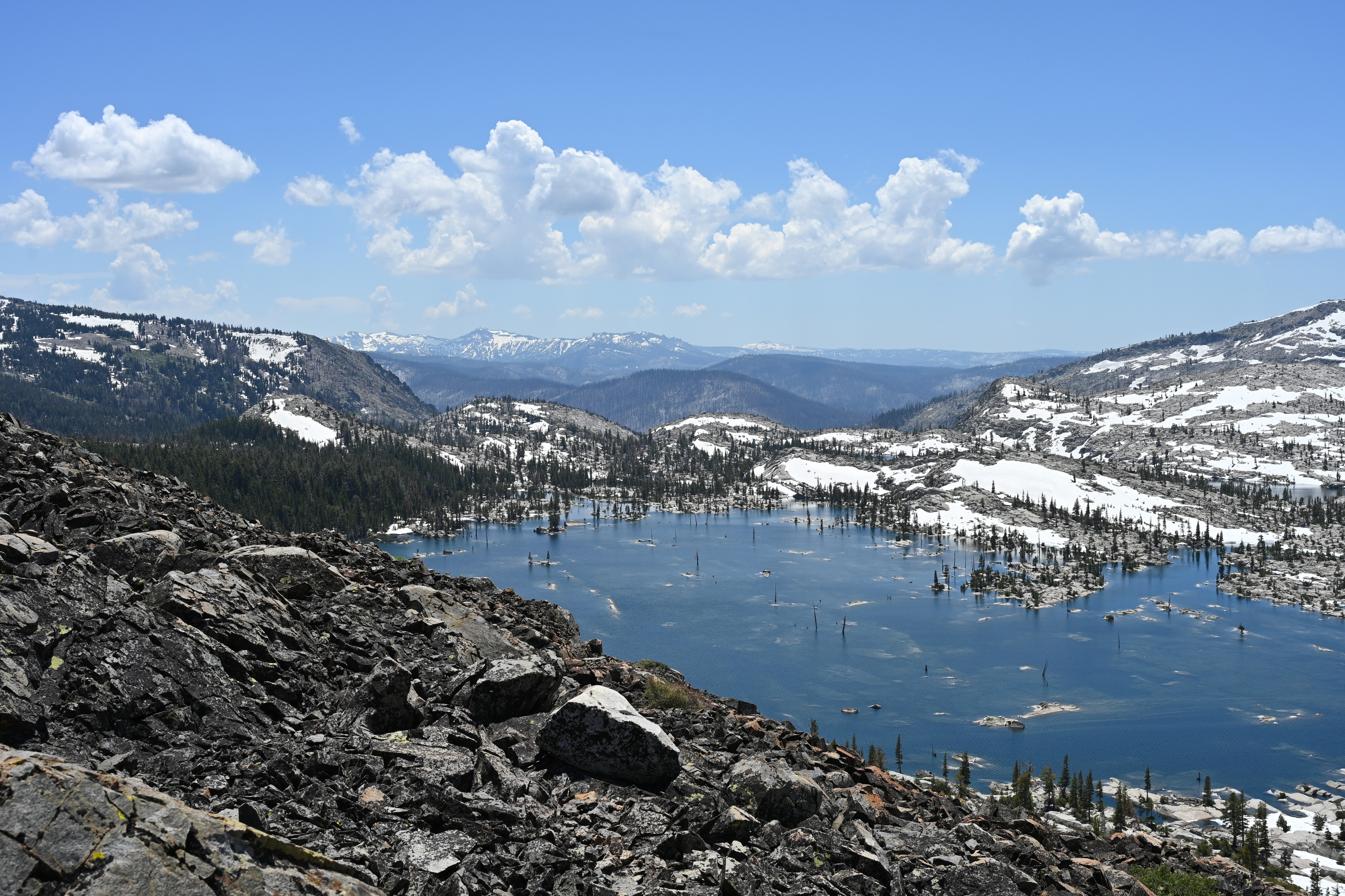
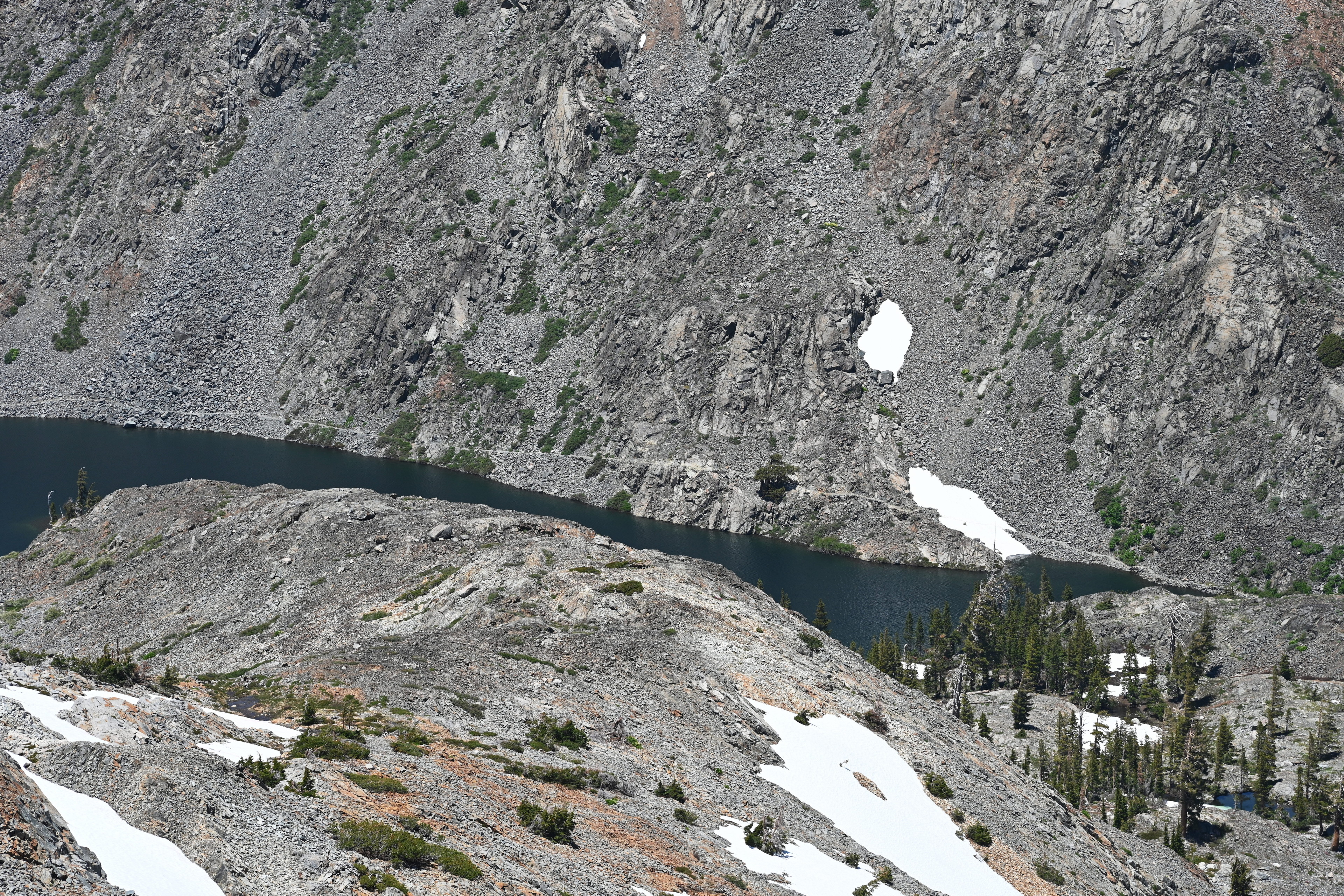
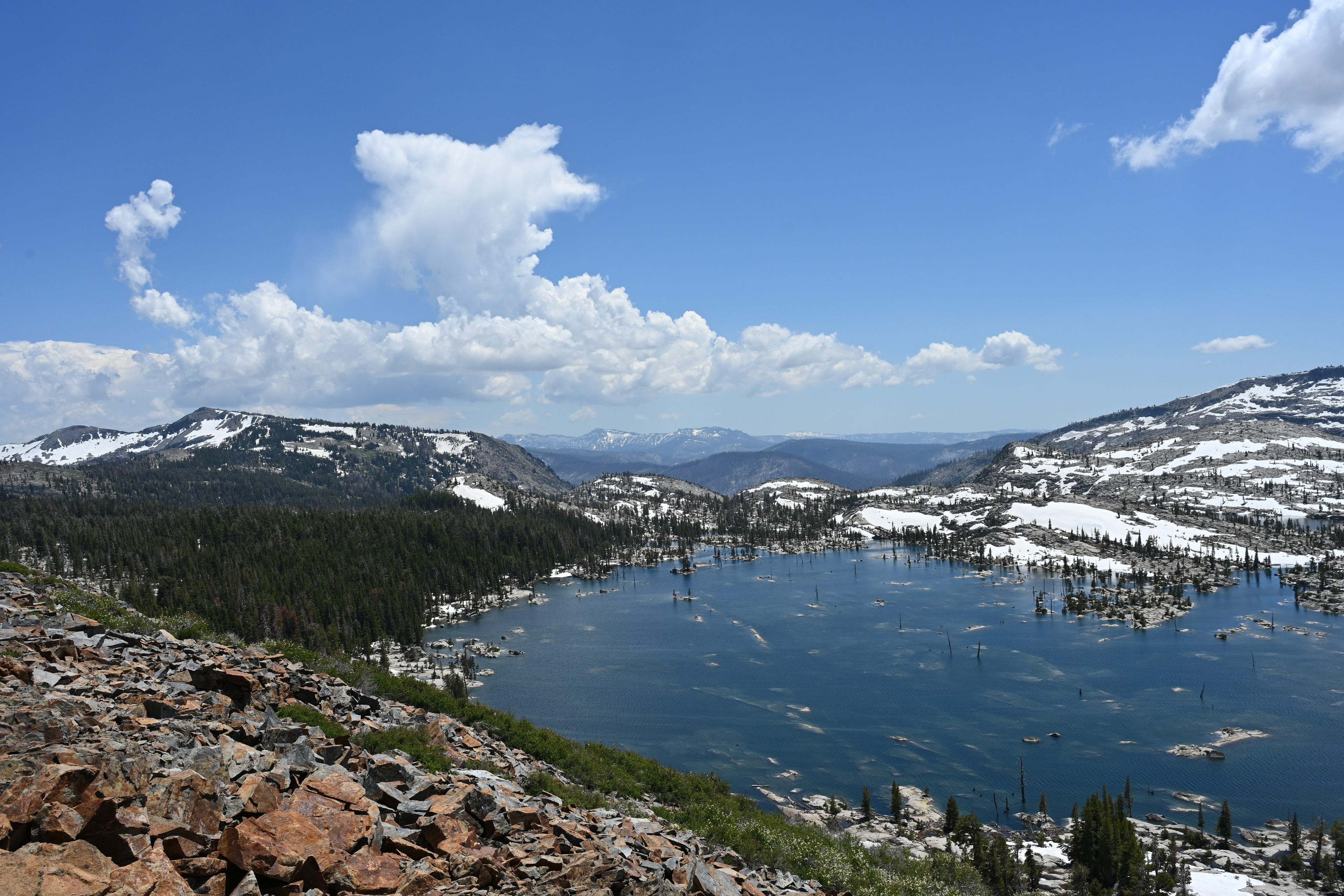
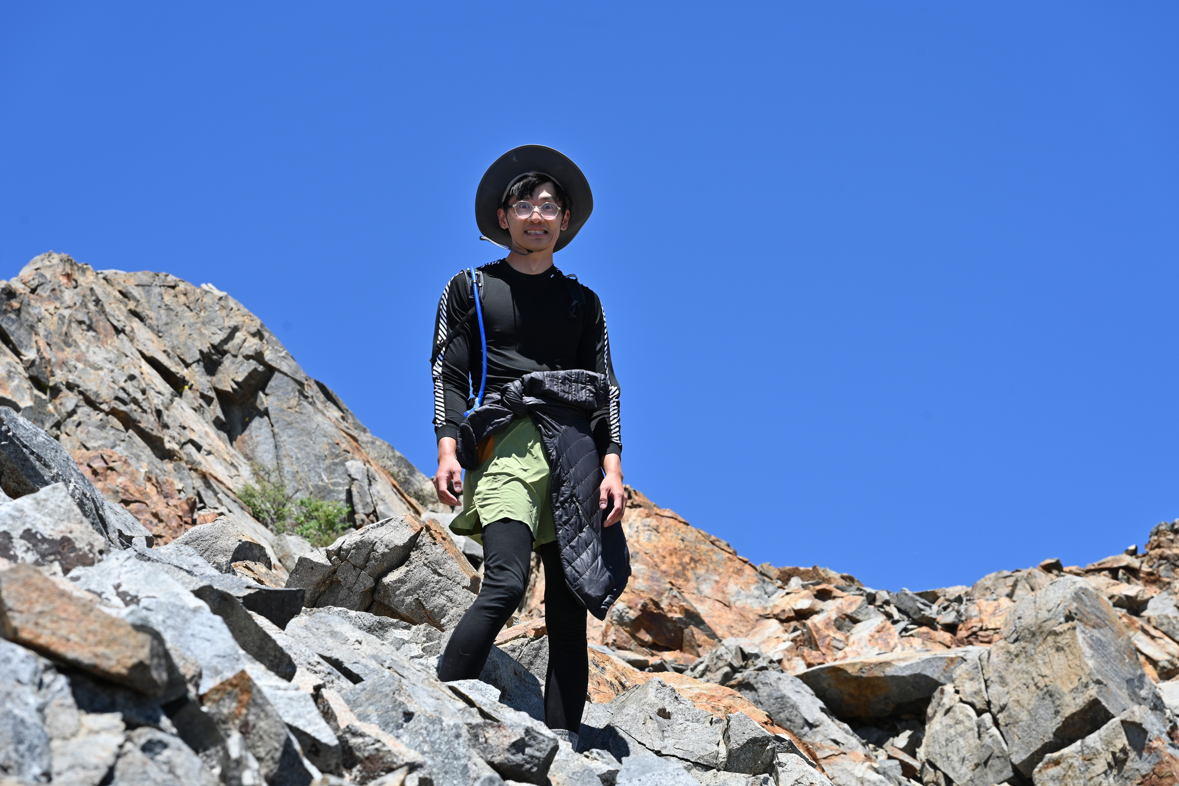
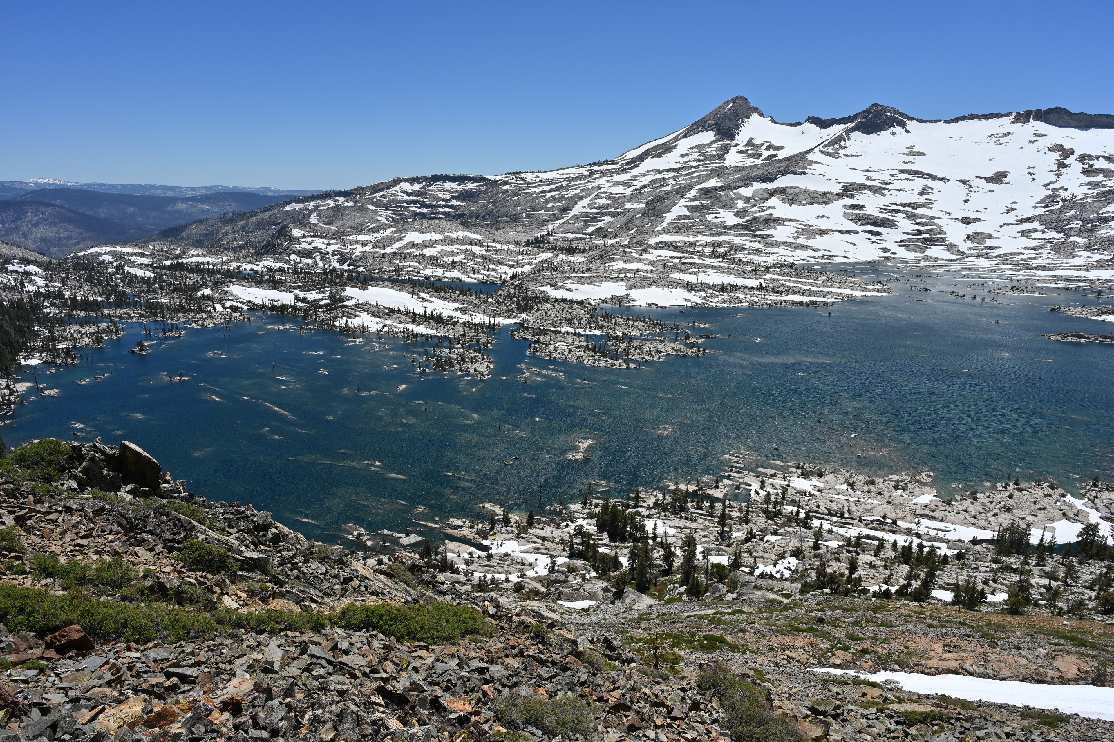
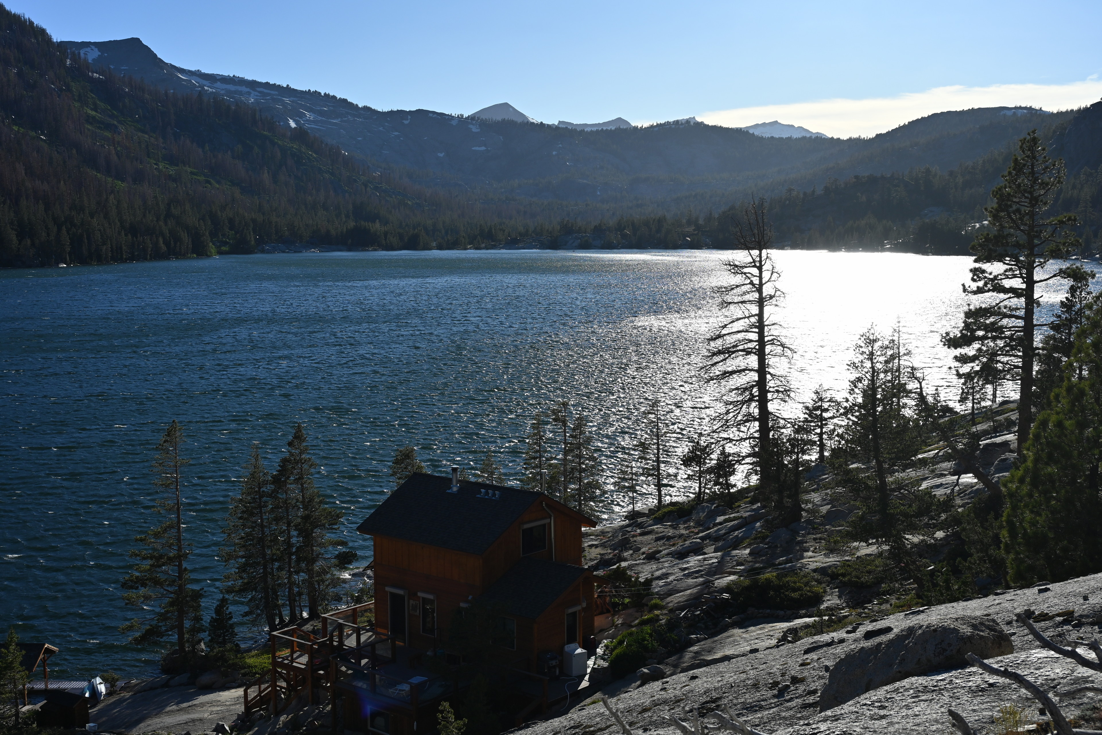
By around 20:00 we reached Lake Aloha. As we exited the forest, we were suddenly surrounded by a granite and snow wonderland. We had to find a place to camp around here not only because it was getting late but because it was our permit designated site. We passed some folks occupying the first potential camping area, and moved on about 100 yards.
We arrived at Lake Aloha a little before 20:00 and began looking for a suitable place to set up the tent.
View of Cracked Crag. We arrived at Lake Aloha a little before 20:00 and began looking for a suitable place to set up the tent.
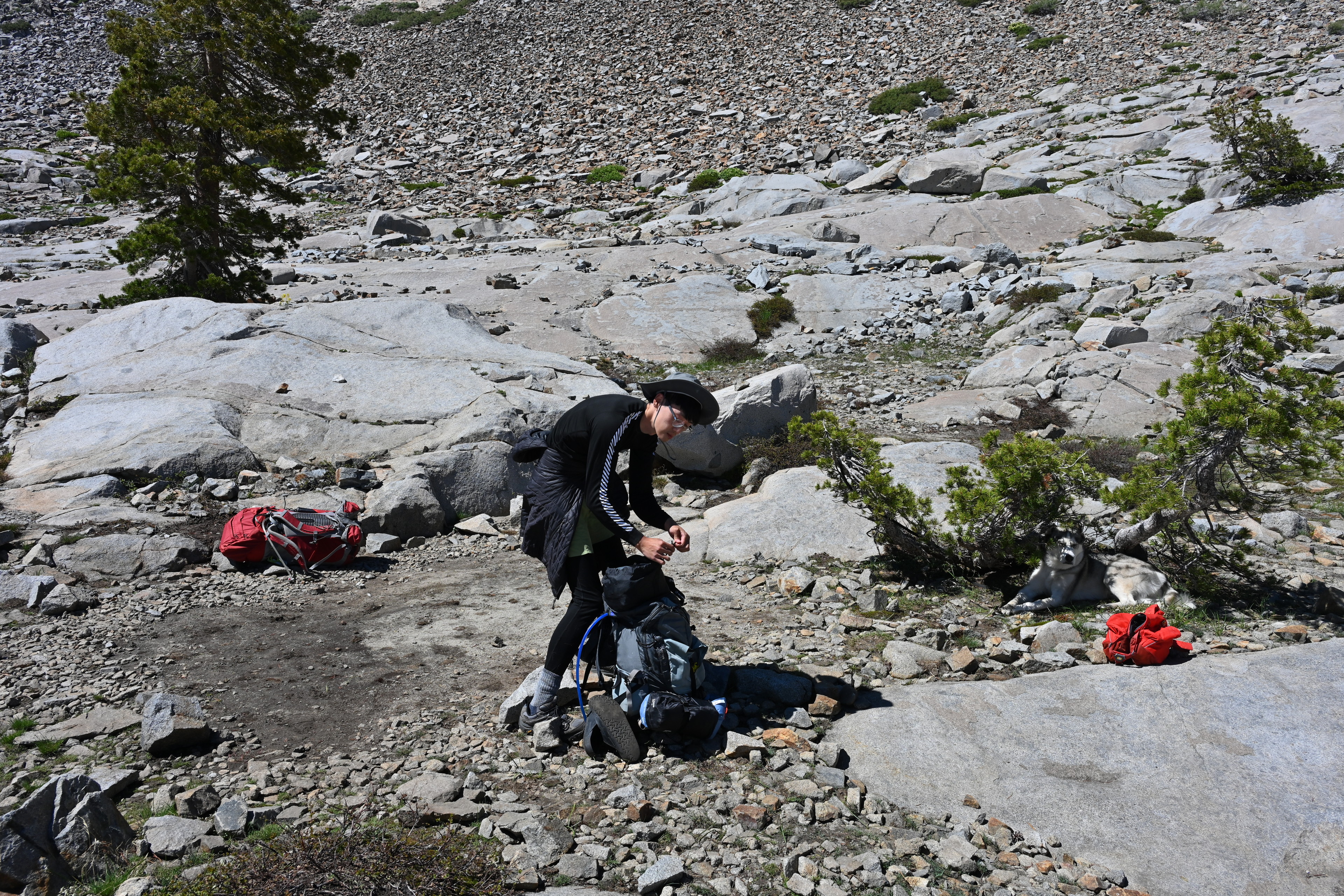
Since the ultralight tent I brought has no internal frame, it relies on trekking poles and the staked corners for structure. I worried we would struggle given there appeared to be no flat areas that were not solid stone. We walked around for a while till we found a suitably sized and actually somewhat soil covered parcel. We removed some sharp stones and attempted the tent assembly. I needed to use some heavy stones in places I couldn’t get the stakes in very deep, but it worked out.
We arrived at Lake Aloha a little before 20:00 and began looking for a suitable place to set up the tent. While most of the trail was soil and snow, suddenly we were on large sheets of granite that would make it impossible to drive stakes in.
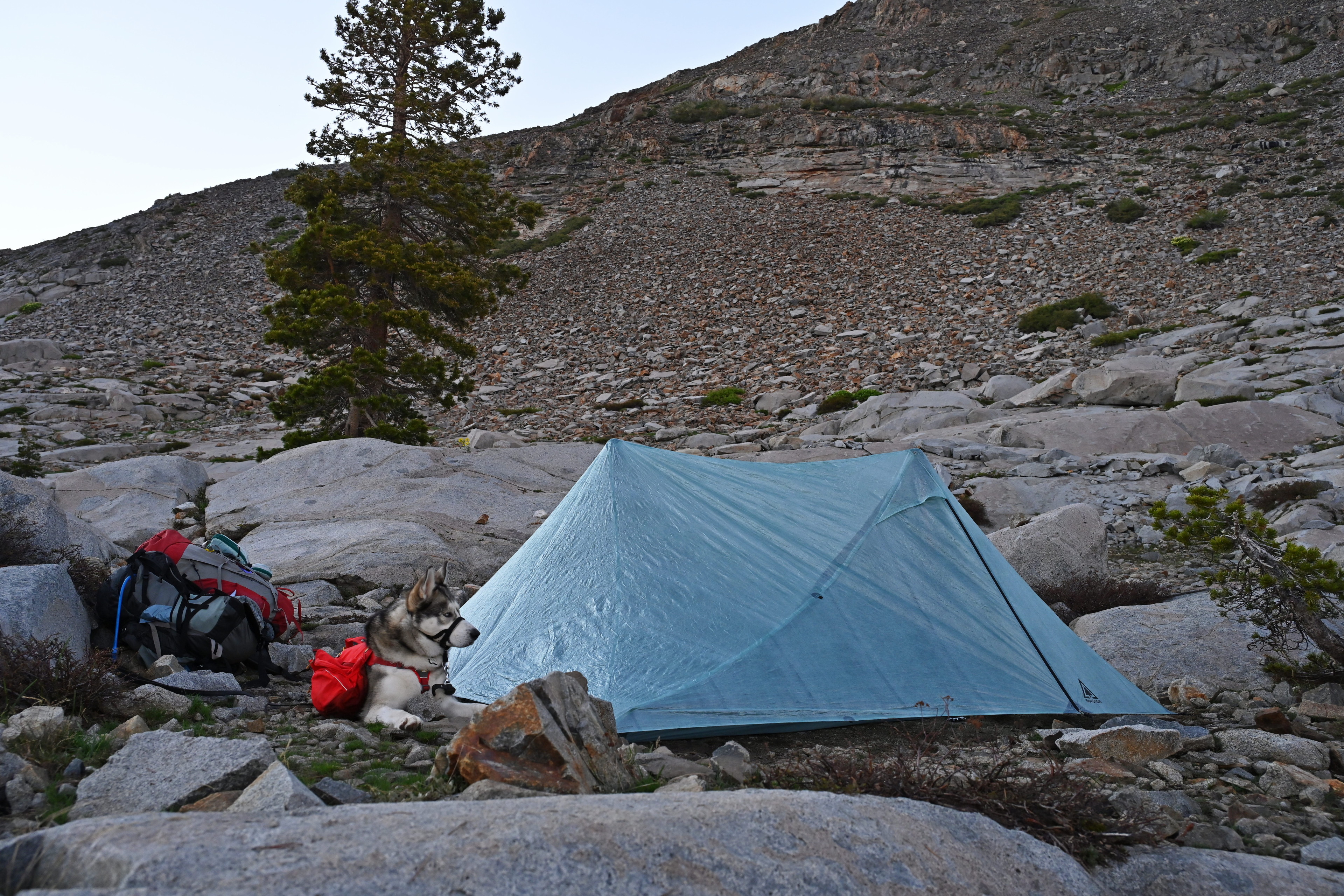
We arrived at Lake Aloha a little before 20:00 and began looking for a suitable place to set up the tent. While most of the trail was soil and snow, suddenly we were on large sheets of granite that would make it impossible to drive stakes in. Unfortunately my new Durston X-Mid Pro tent relies on the stakes for structure, so we needed to seek out a plot with some soil. We ended up using rocks as supports anyway.
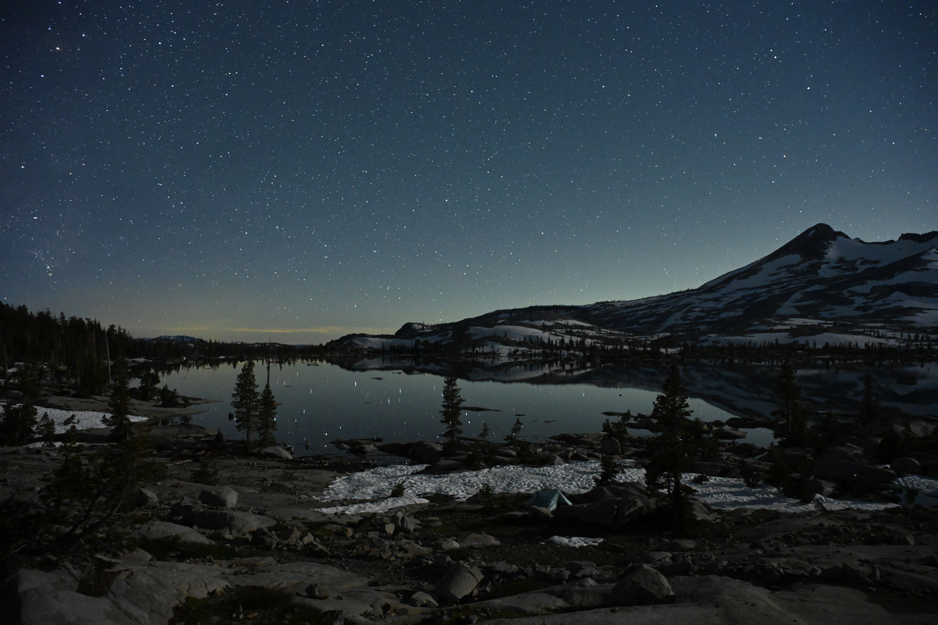
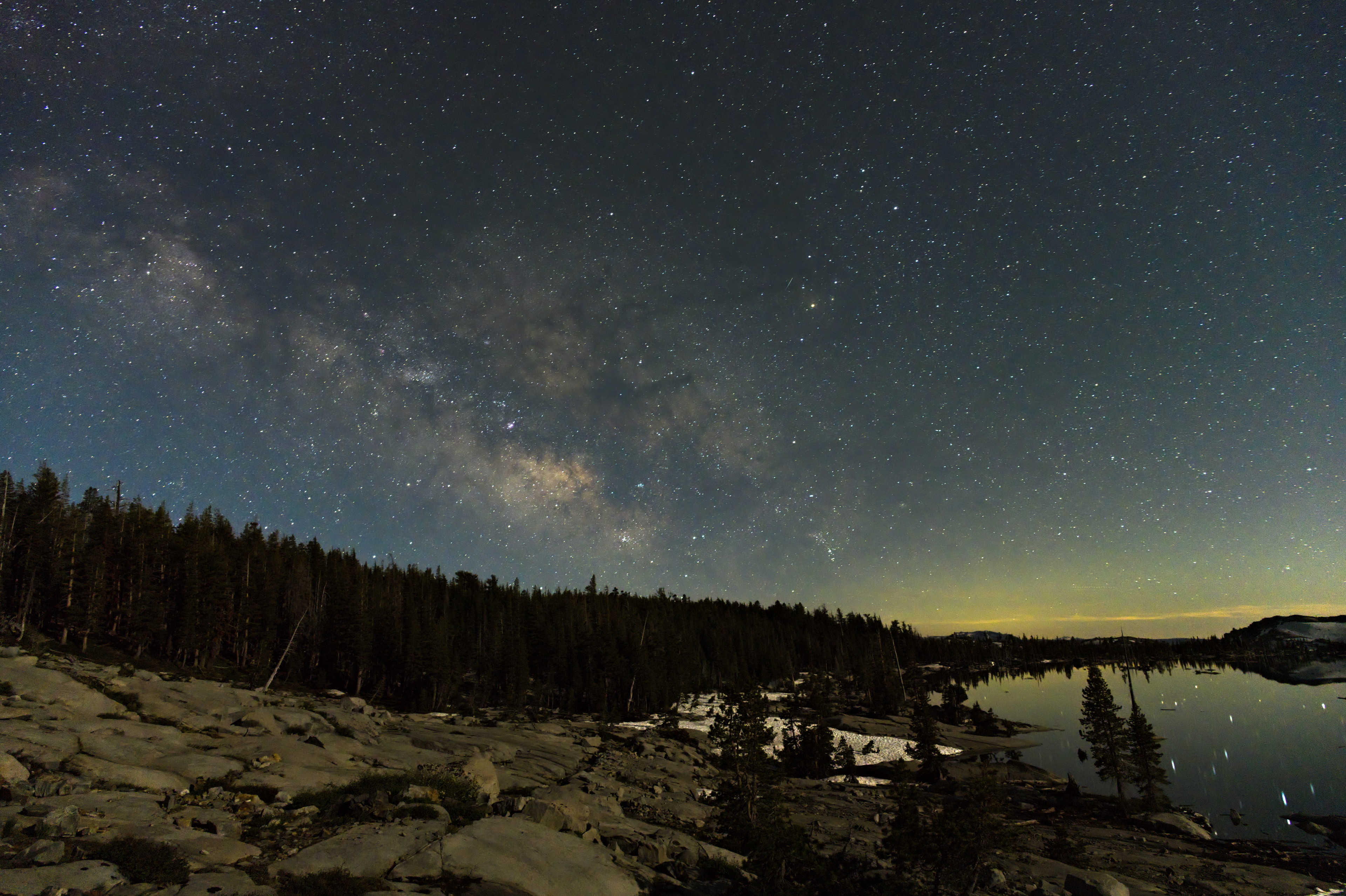
Then we could relax a bit, and think about food. The sky was beautiful and strange. There appeared to be a sunset on the opposite horizon from where the sun was actually setting.
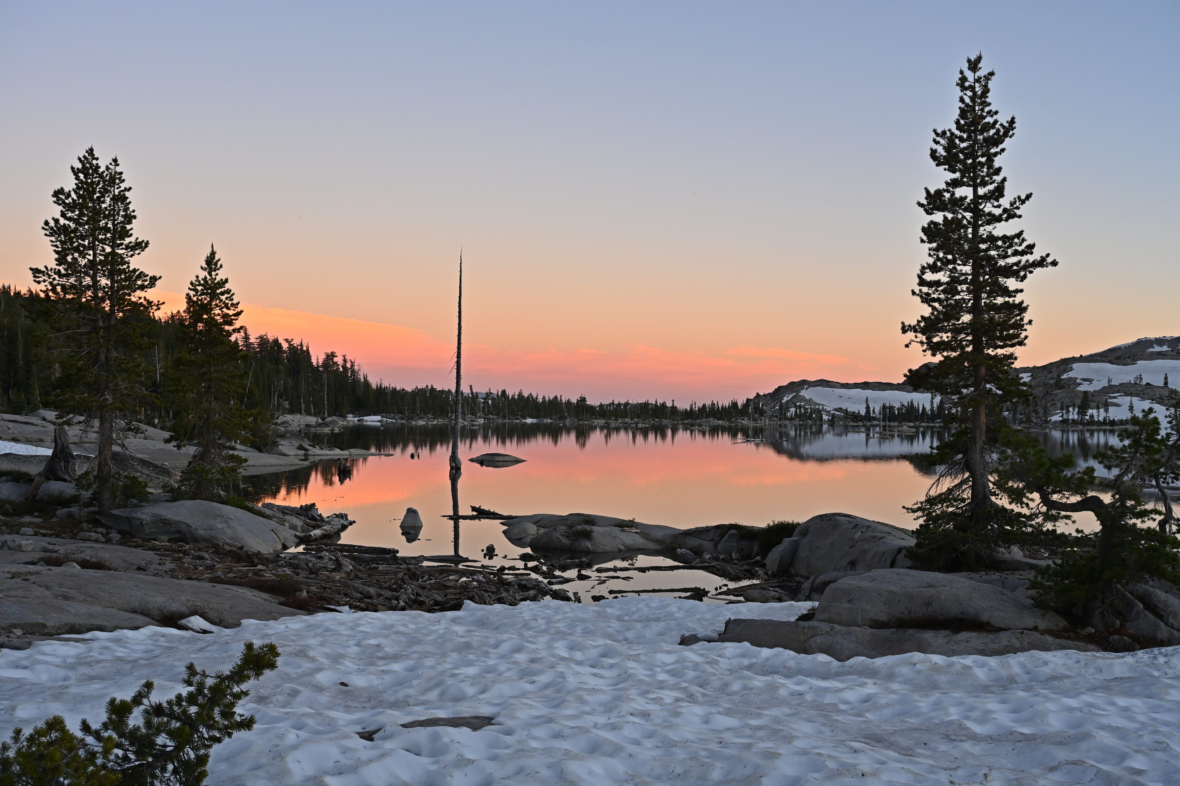
Looking away from the sunset on our first night at Lake Aloha.

Our first night at Lake Aloha.
We pulled out all our food and stashed it up the hillside under a giant rock. This area would henceforth be referred to as “the bear can”. Andrew got to heating some water and cooking some ramen. I had a sandwich, since I thought we were going to need to store some food outside the bear can, and it shouldn’t be the fragrant meat and cheese. I settled on putting some unopened snacks in a bag that I buried under a pile of rocks. I also had to put two ramen packs on top when I couldn’t fit those in the can, either.
Finally, we set our eyes on the stars. They were breathtaking. We could even see them reflected in the still lake. We then started noticing satellites, and lots of them. I was aware the number of satellites has been growing very quickly recently with SpaceX’s 8,000 and other companies as well, but something seemed strange. I was seeing some very, very faint lights, much fainter than most of the stars. Then I saw lots of them. At one point I saw at least five or six little moving lights all in one small area of sky. Many of them were intermittently dimming and brightening. I couldn’t believe there were so many satellites, and decided I must be seeing some kind of space junk or maybe rocks. After researching this upon our return, I was glad to see many accounts of seeing space junk in the sky. I’m not crazy!
Our first night at Lake Aloha.
Our first night at Lake Aloha.
The only thing complicating our star viewing was how bright the moon was! It was only a bit less than one third full, but it kept blinding me, relatively speaking.
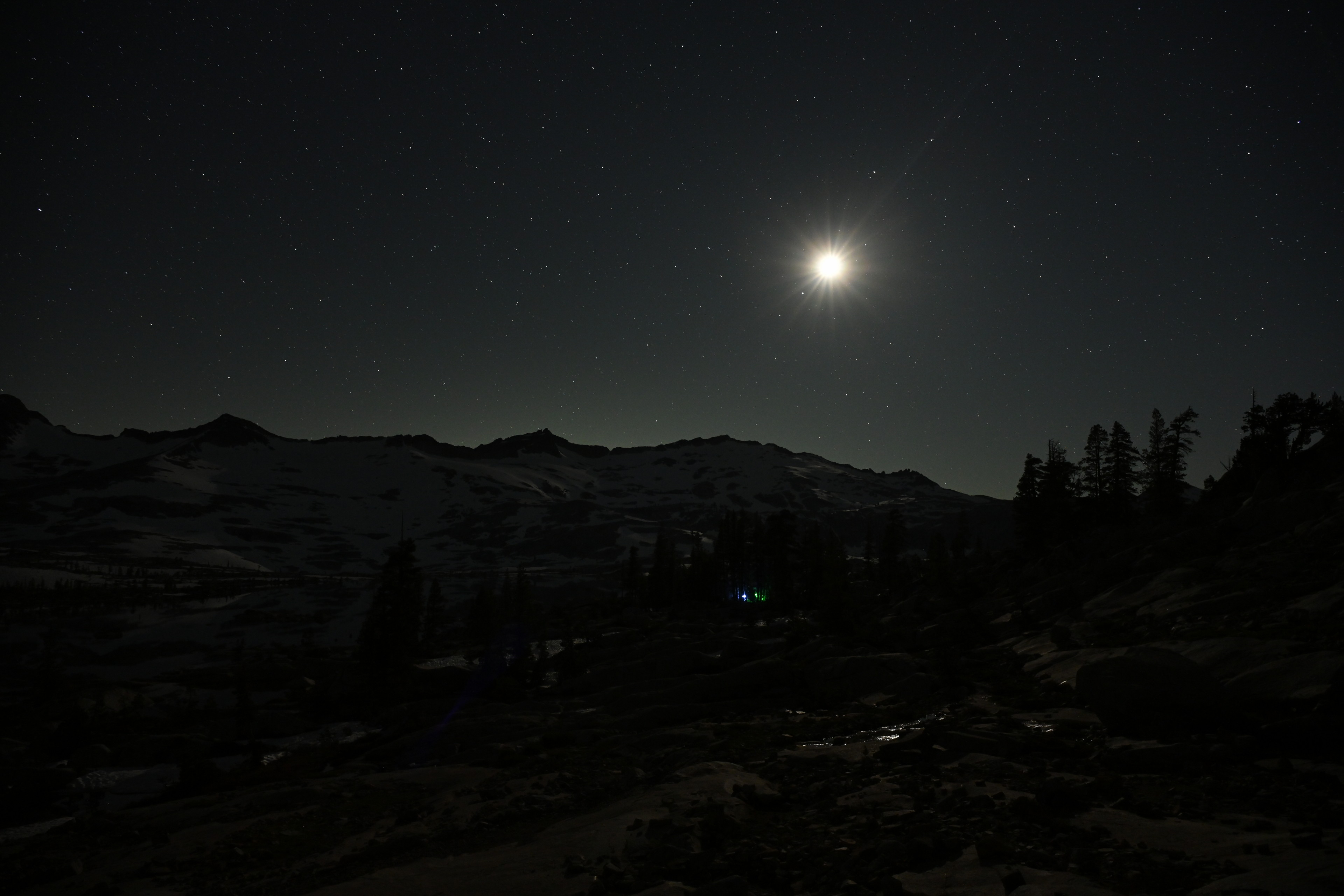
Our first night at Lake Aloha. The moon was only about a third full, but it was very bright, and I kept feeling like it was blinding me every time I looked at it.
Wednesday
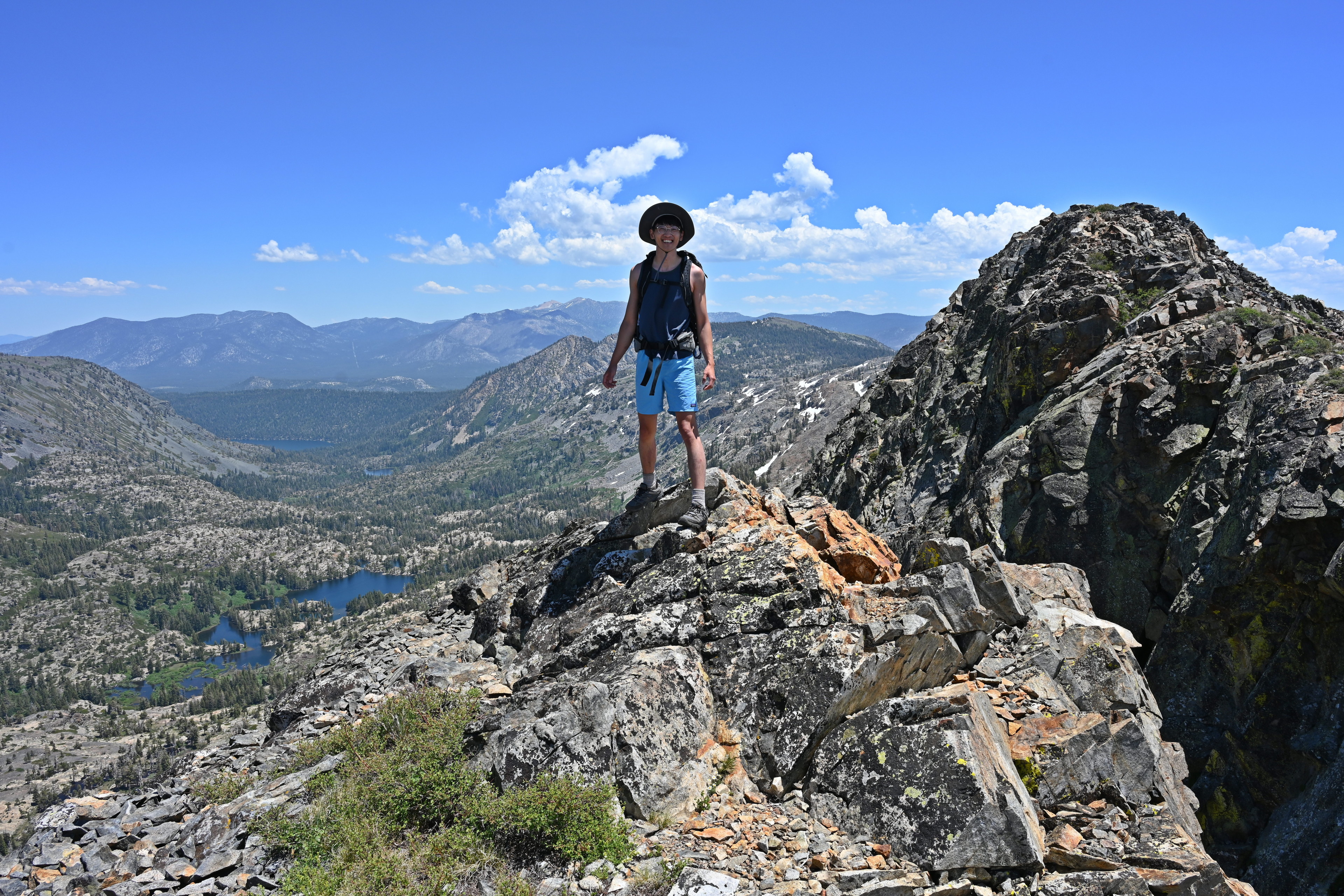
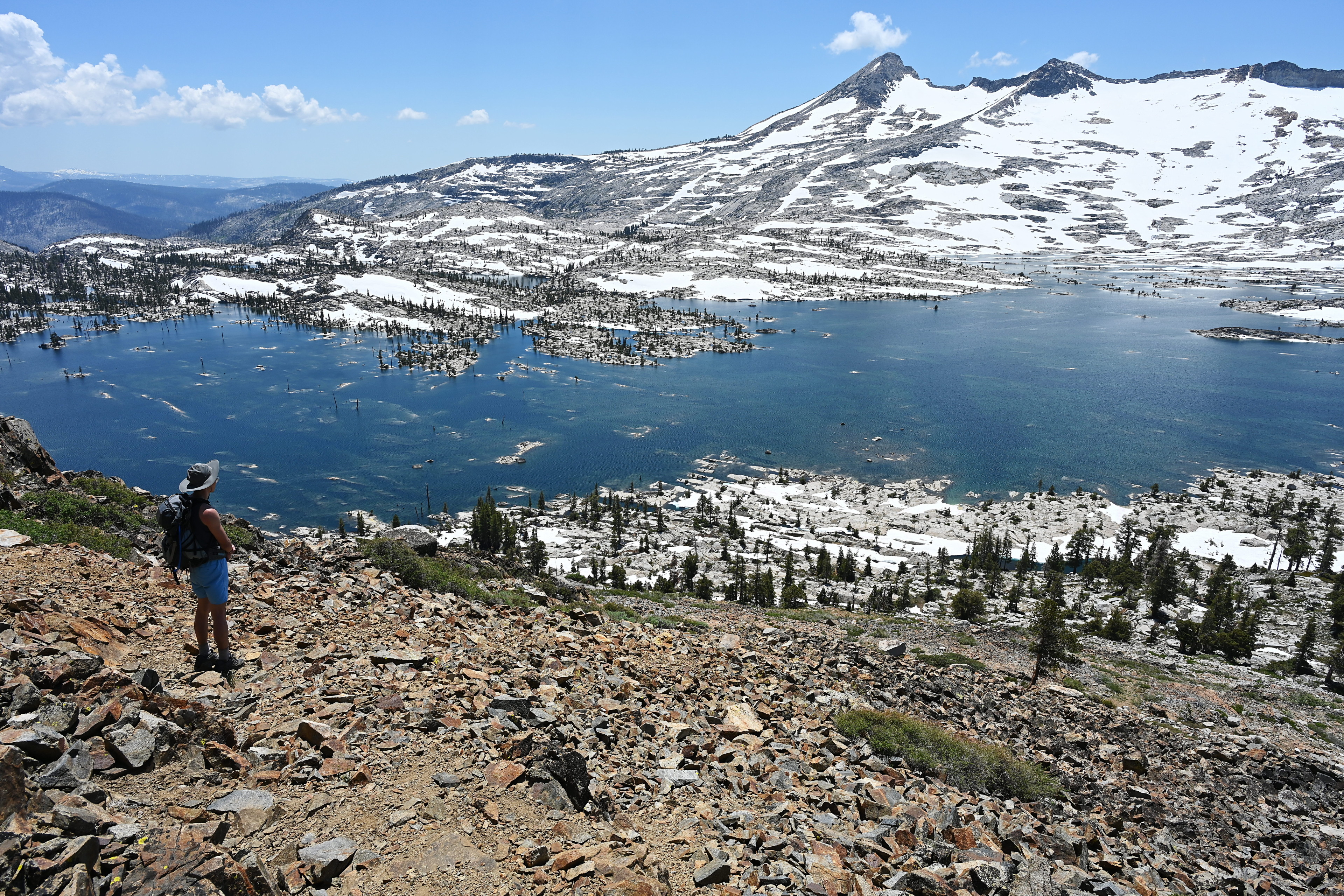
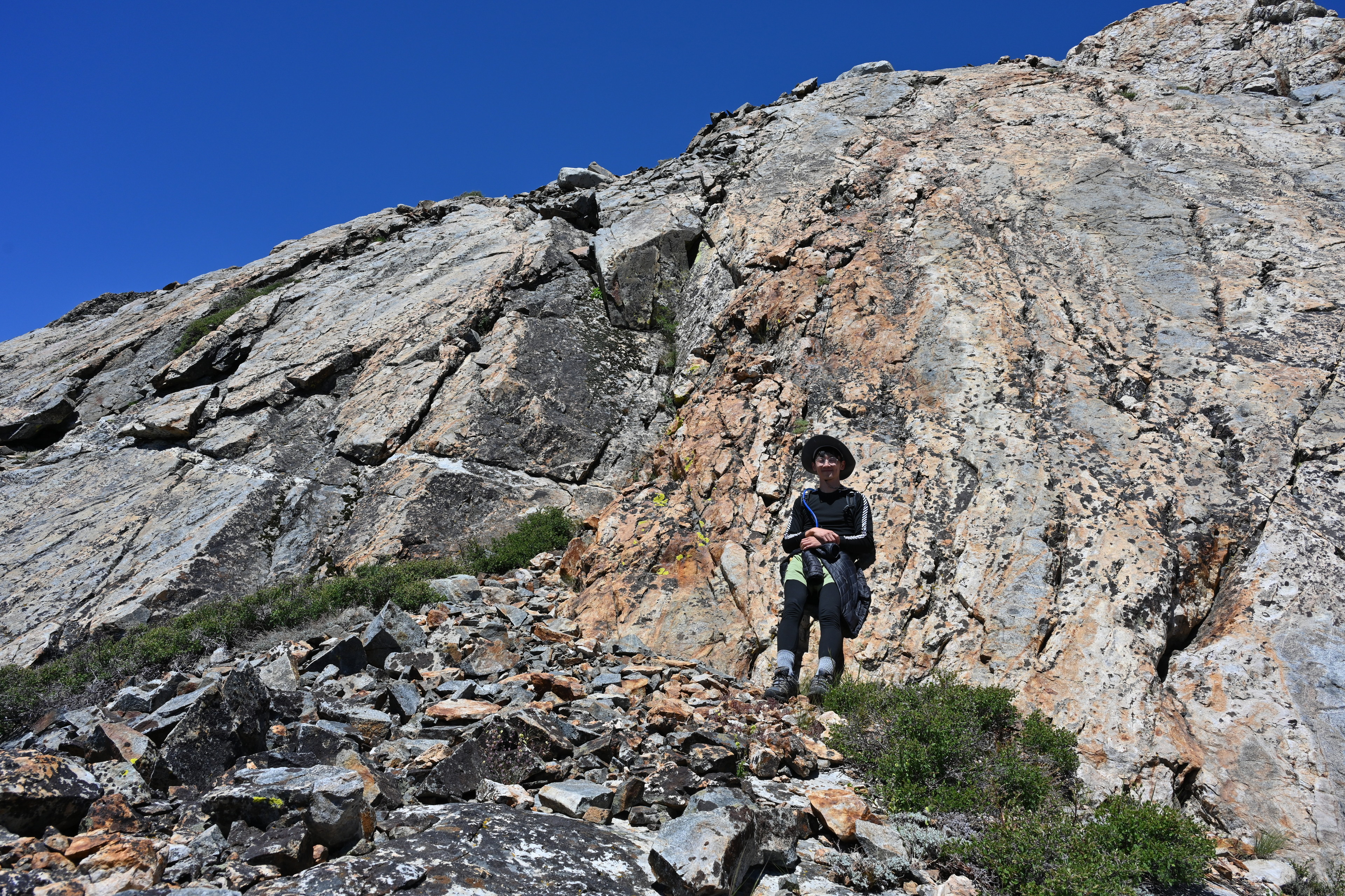
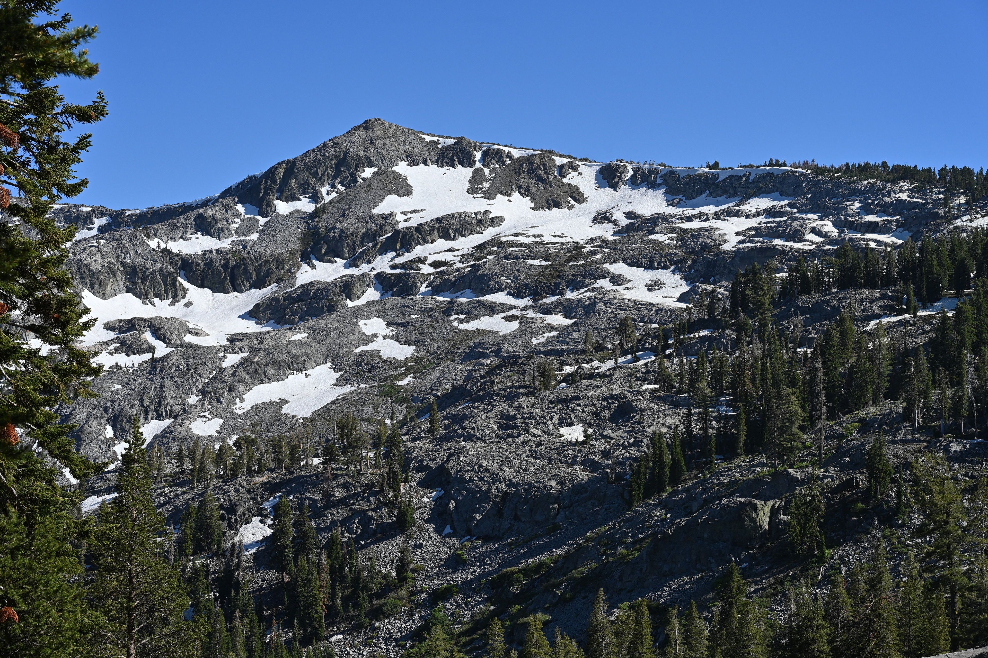
When we first discussed where to camp after the first night, I thought we might pack up and check out a new site each day. But the hike in was apparently grueling enough that Wednesday morning we were only considering a day hike. Andrew wanted to check out Mount Tallac, which would be about six and a half miles each way and a 1,400 foot climb to 9,700 feet. I was not confident Ruffie would be able to make it, but we set out at 10:45 knowing we’d at least see some more nice lakes along the way.
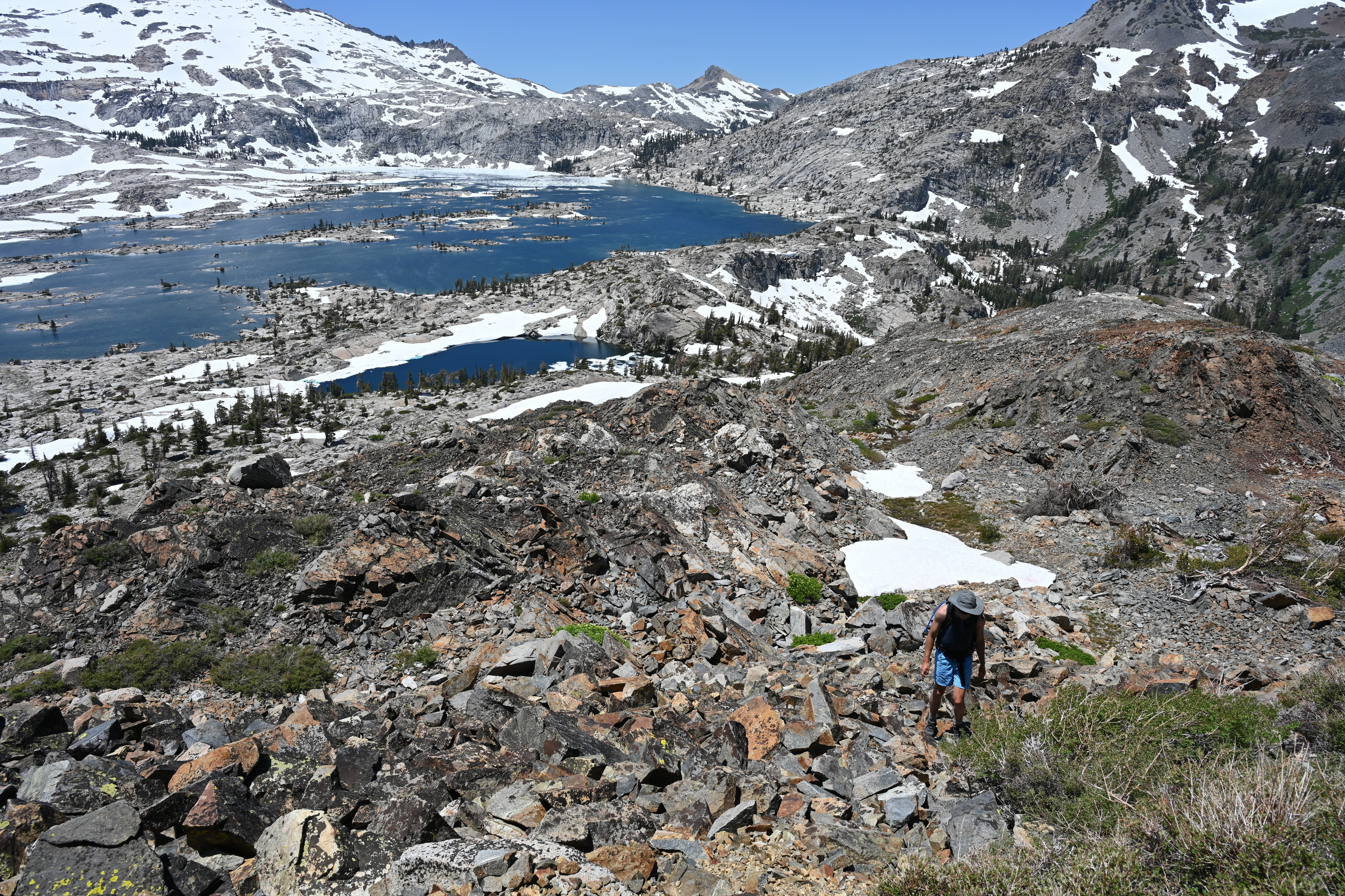
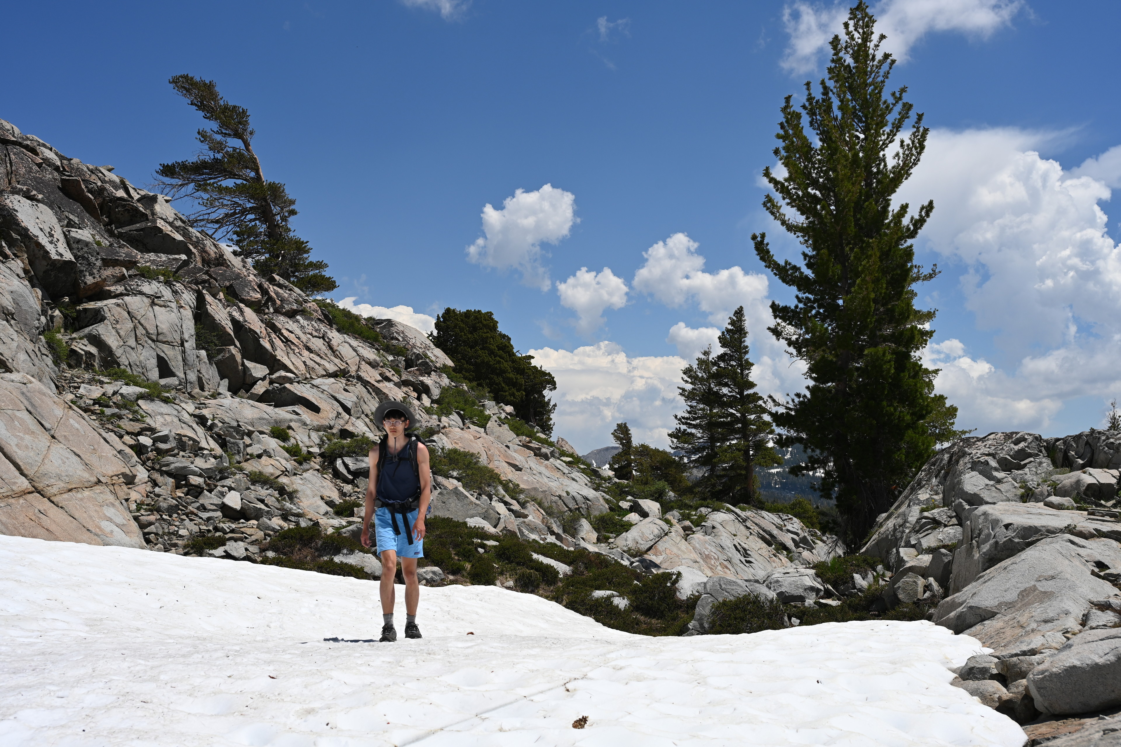
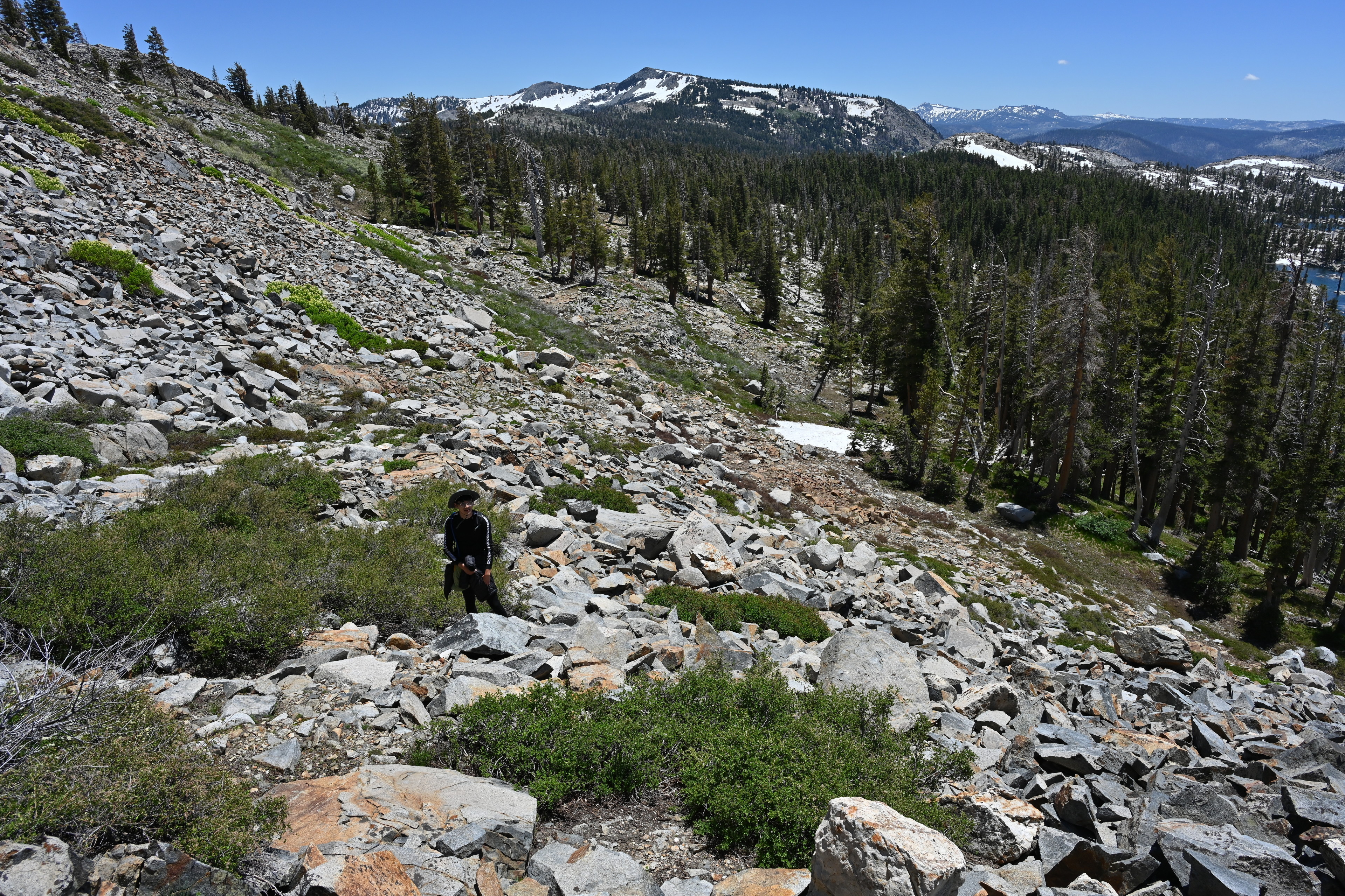
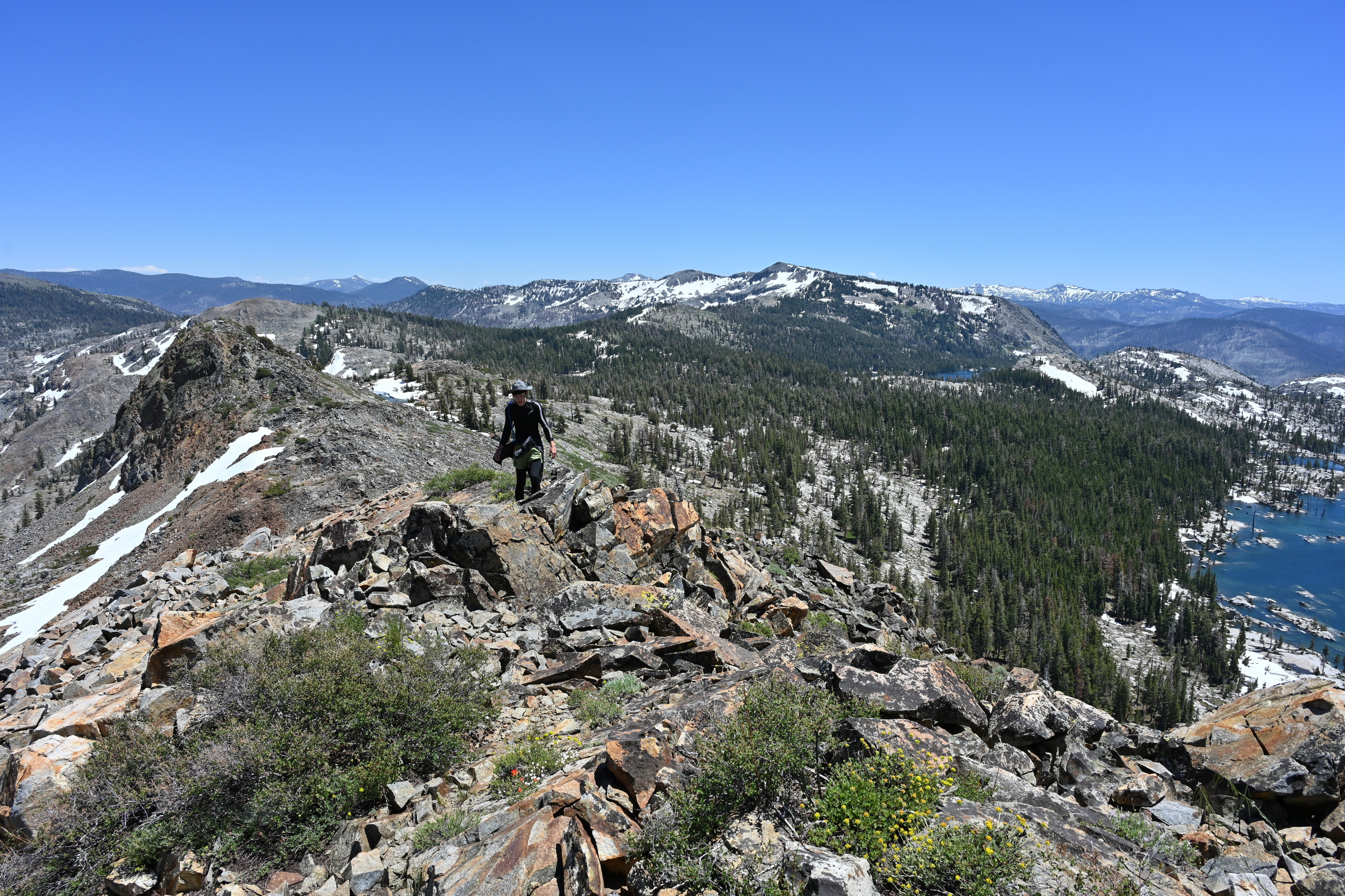
Hiking mostly along the Pacific Crest Trail from Lake Aloha toward Mount Tallac. We lost the trail a bit after Susie Lake due to snow but reconnected before Gilmore Lake, which we never reached.
Hiking mostly along the Pacific Crest Trail from Lake Aloha toward Mount Tallac. We lost the trail a bit after Susie Lake due to snow but reconnected before Gilmore Lake, which we never reached.
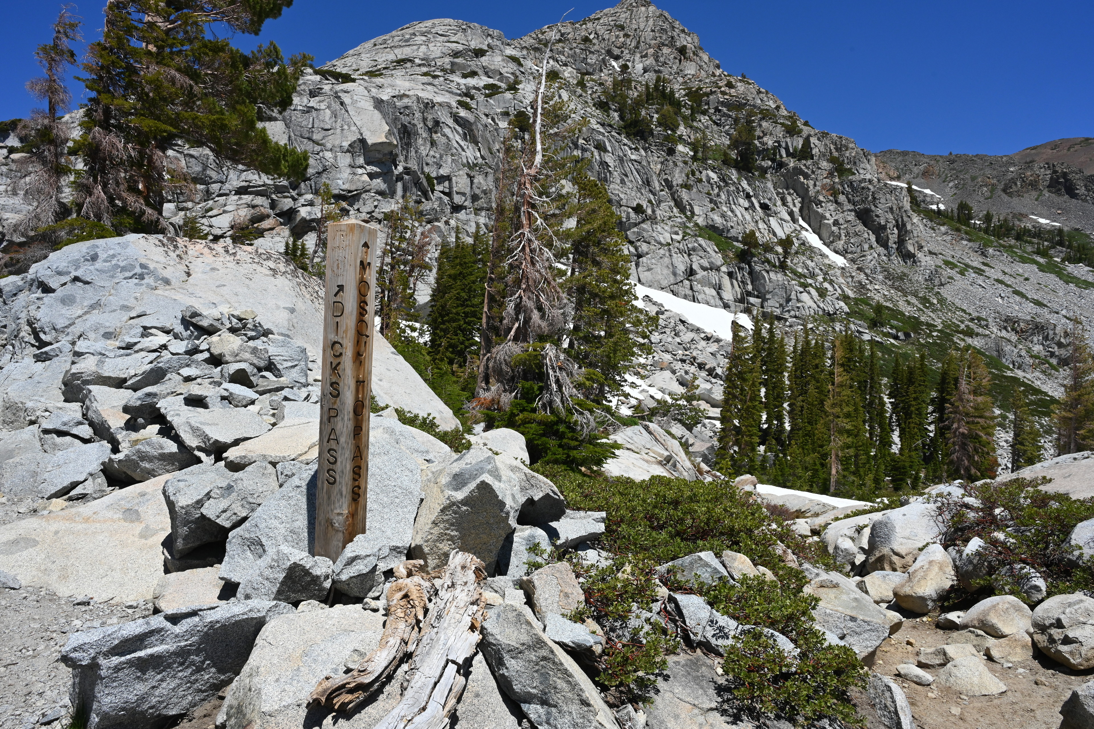
Early in this journey we passed four older dudes heading the other way. They asked where we were headed, and they told us good luck, and that they gave up around Dick’s Pass. I didn’t completely understand their description of which side of Mount Tallac was snowed in, but figured we would find out soon enough.
We did run into a bit of snow that forced us off trail after Dick’s Pass, but we weren’t sure if that’s what they meant. We forged on.
Hiking mostly along the Pacific Crest Trail from Lake Aloha toward Mount Tallac. We lost the trail a bit after Susie Lake due to snow but reconnected before Gilmore Lake, which we never reached.
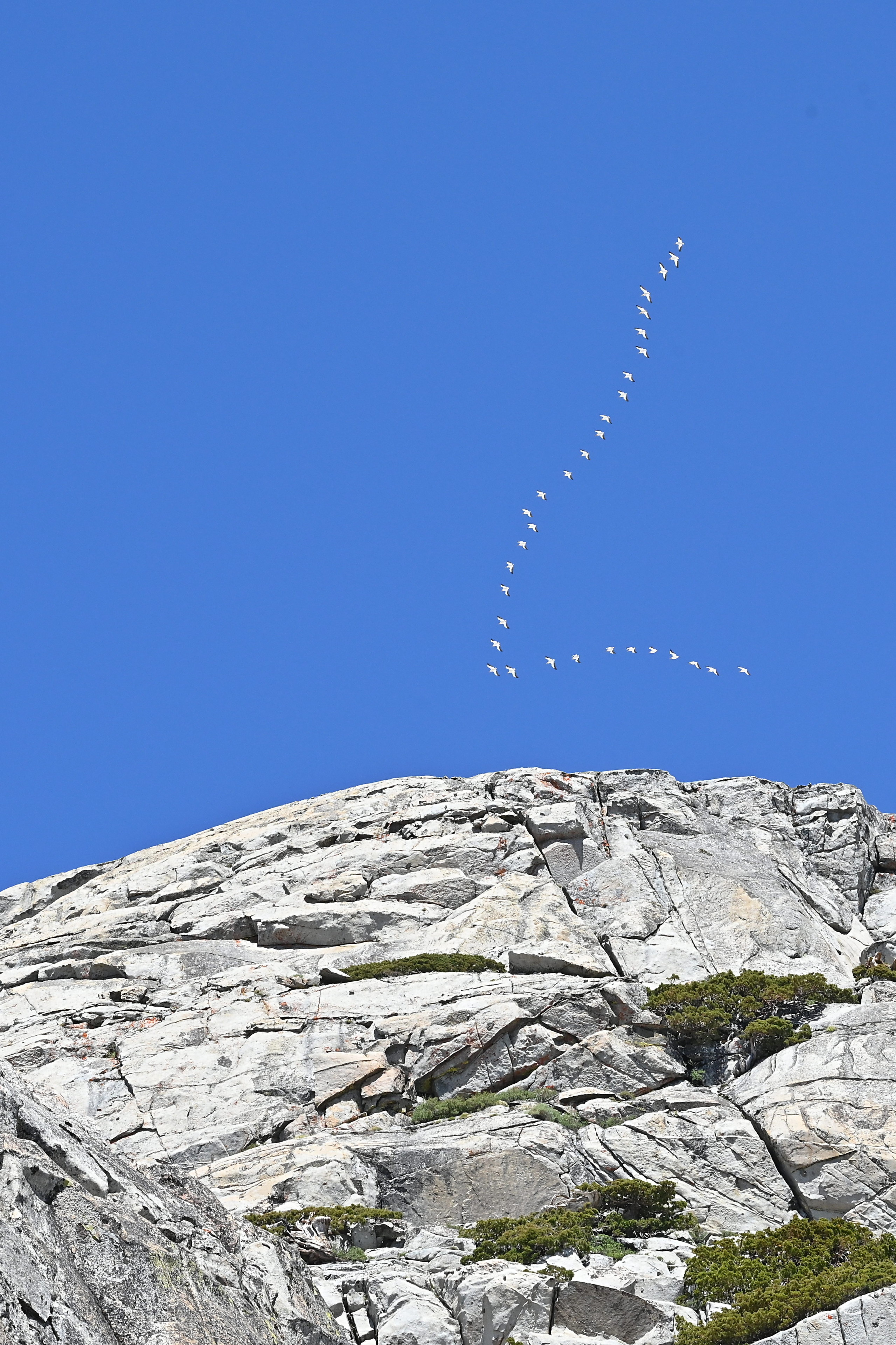
This appears to be a V formation of snow geese, which should be white-bodied with black wingtips.
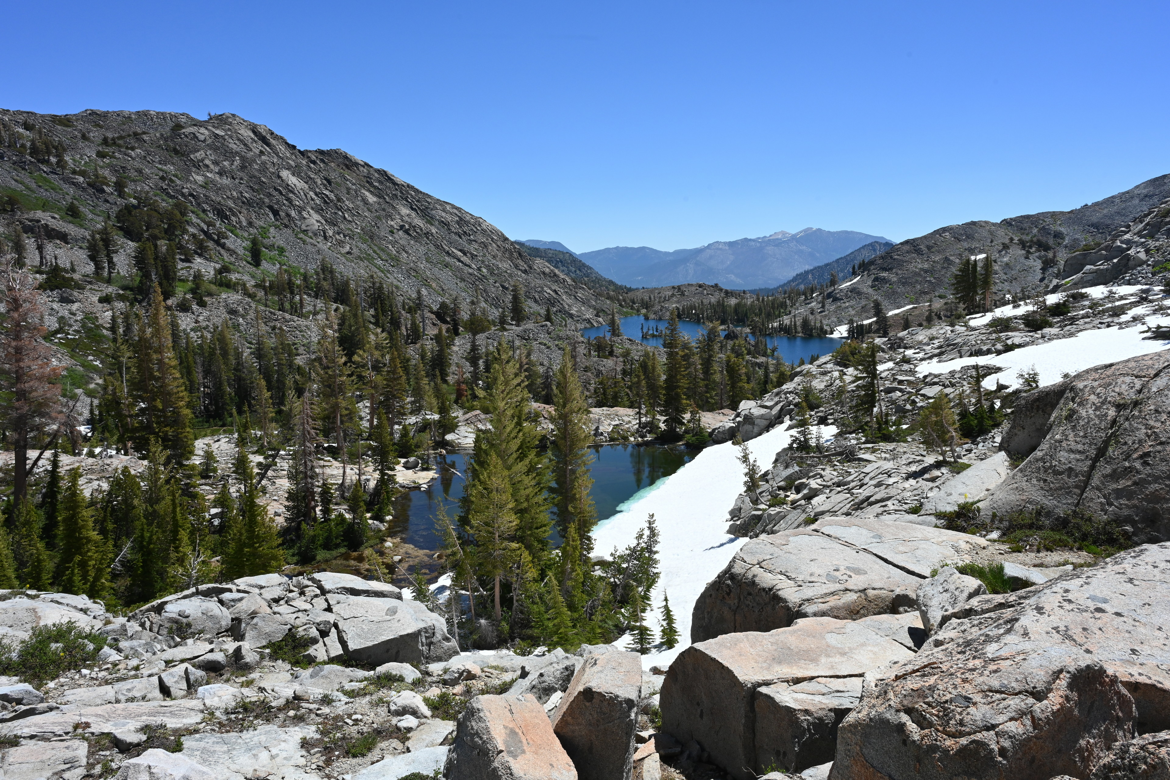
Hiking mostly along the Pacific Crest Trail from Lake Aloha toward Mount Tallac. We lost the trail a bit after Susie Lake due to snow but reconnected before Gilmore Lake, which we never reached.
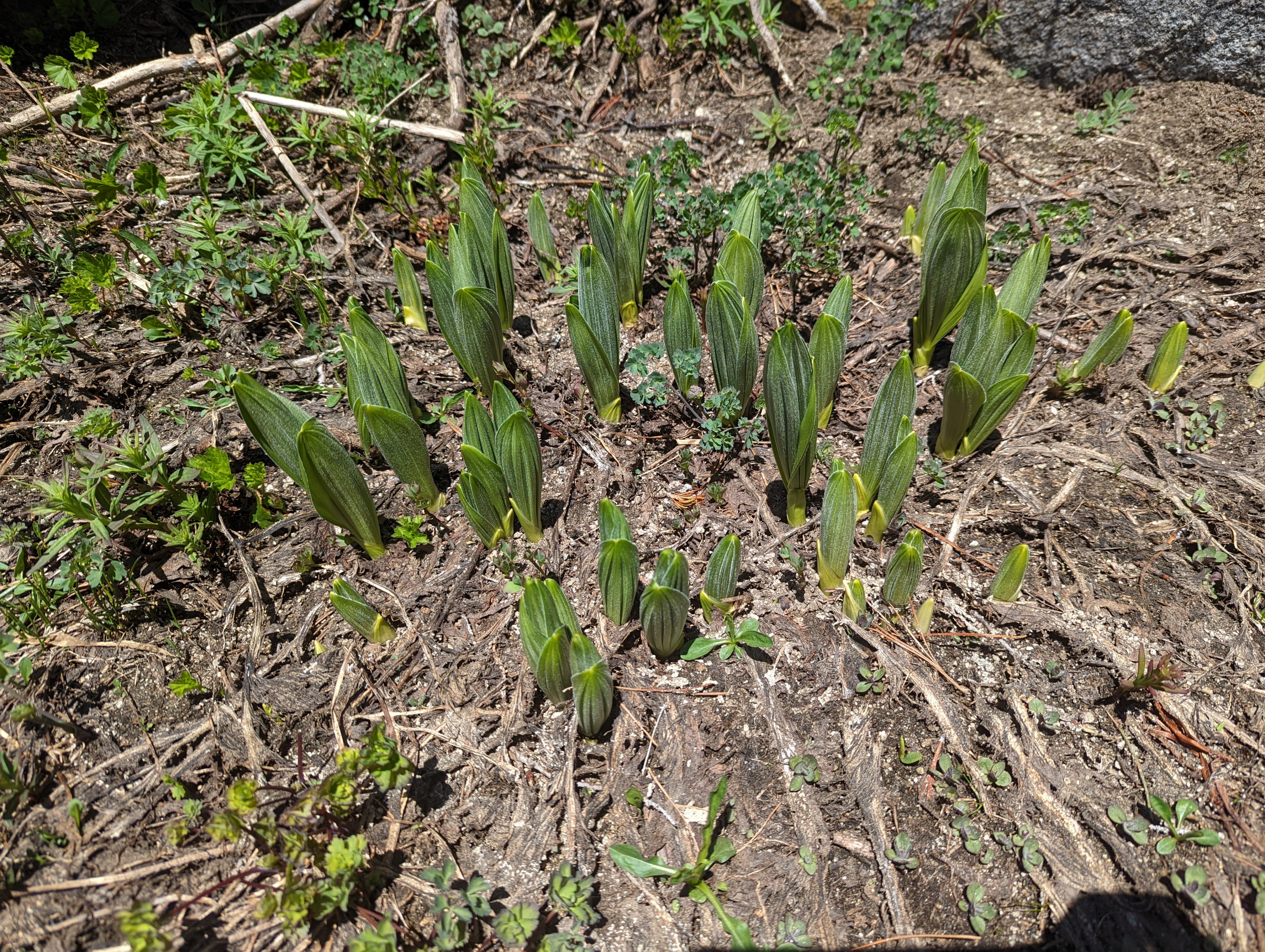
Possibly Veratrum californicum (California corn lily, white or California false hellebore)
This trail along the edge of Heather Lake seemed rather safe, aside from a part further up covered in snow. But viewing this trail from a hill later made it look like we could have been the victim of a rock slide any moment!
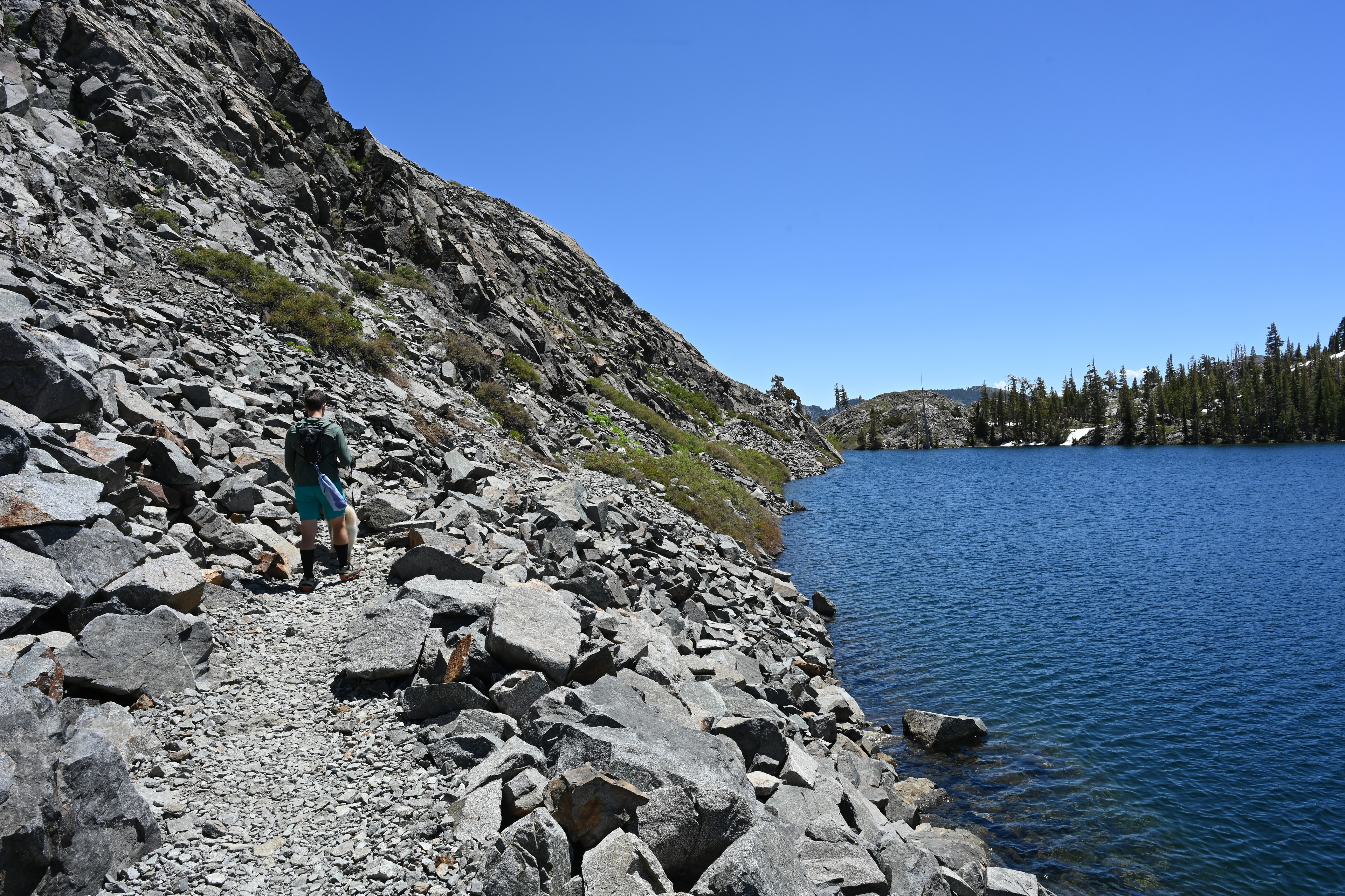
Hiking mostly along the Pacific Crest Trail from Lake Aloha toward Mount Tallac. We lost the trail a bit after Susie Lake due to snow but reconnected before Gilmore Lake, which we never reached. This photo is along Heather Lake.
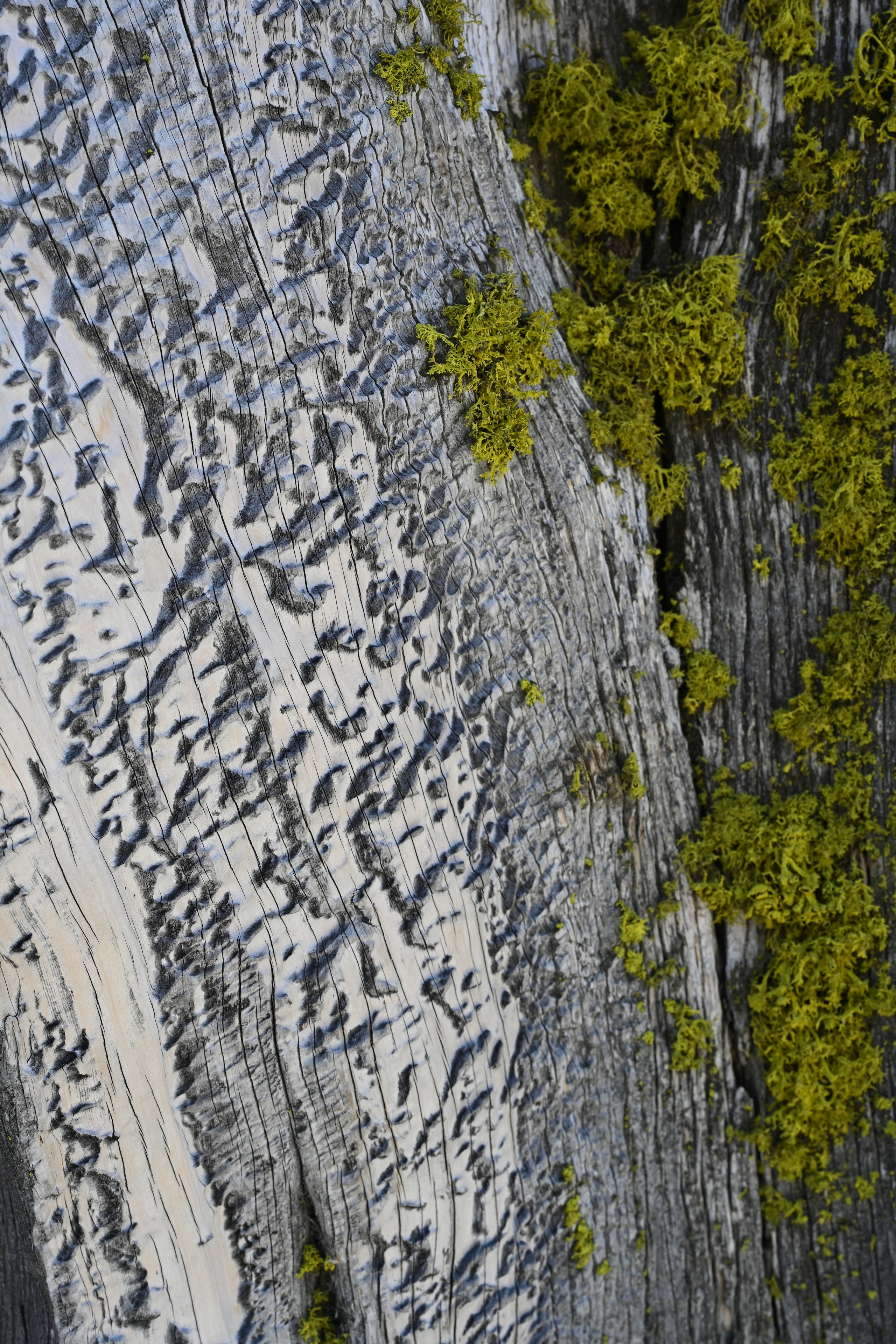
I loved the crazy pattern on the weathering bark of this juniper. I'm not sure if it is animal or fungal caused or what. Along Heather Lake on the PCT.
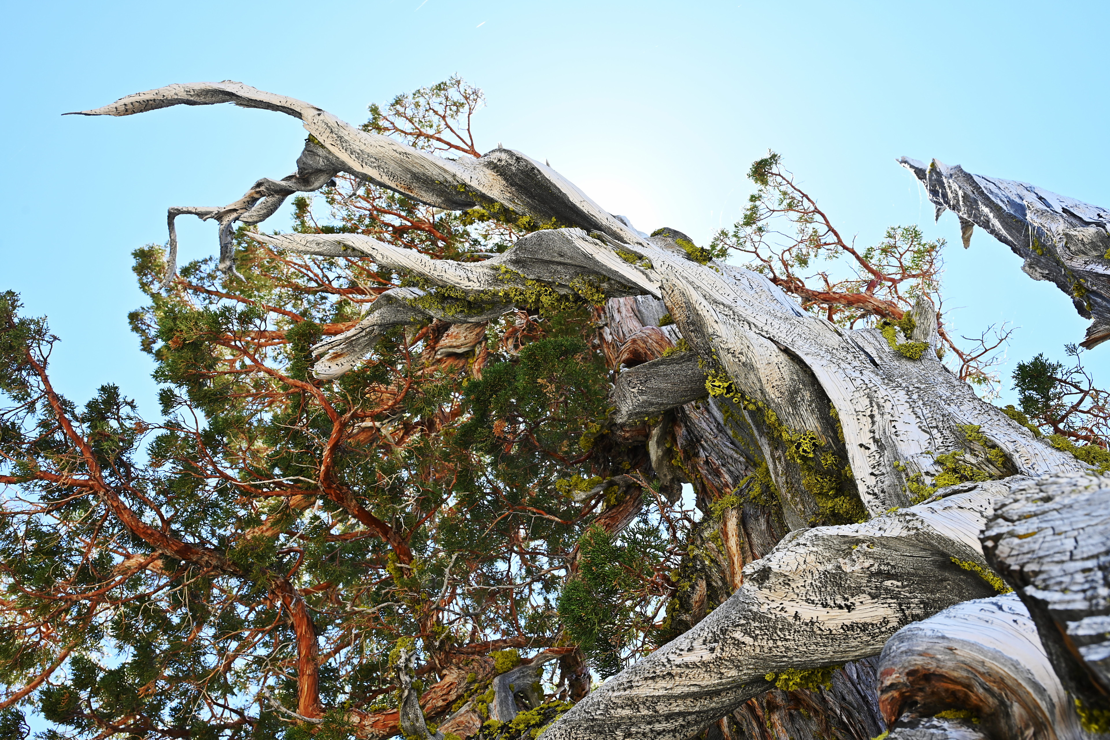
Hiking mostly along the Pacific Crest Trail from Lake Aloha toward Mount Tallac. We lost the trail a bit after Susie Lake due to snow but reconnected before Gilmore Lake, which we never reached. Along Heather Lake on the PCT.
By about 14:00, it was getting hot, probably in the 80s. I thought Ruffie might be slowing down, and then sure enough, he plopped down right on the trail once we reached a small shaded spot. We rested a while and gave him water, and then carried on a bit. But he did it again twice more in short succession. We still had about 2.5 miles to go, but we decided not to risk it and to head back down.
Four miles into the hike with two remaining till Mount Tallac, Ruffie stopped walking and lay down a few times in a short period, due to a combination of the heat and the miles. We decided not to risk it and turned around to go back down after resting a while.
Four miles into the hike with two remaining till Mount Tallac, Ruffie stopped walking and lay down a few times in a short period, due to a combination of the heat and the miles. We decided not to risk it and turned around to go back down after resting a while.
Hiking back toward Lake Aloha from Susie Lake along the PCT.
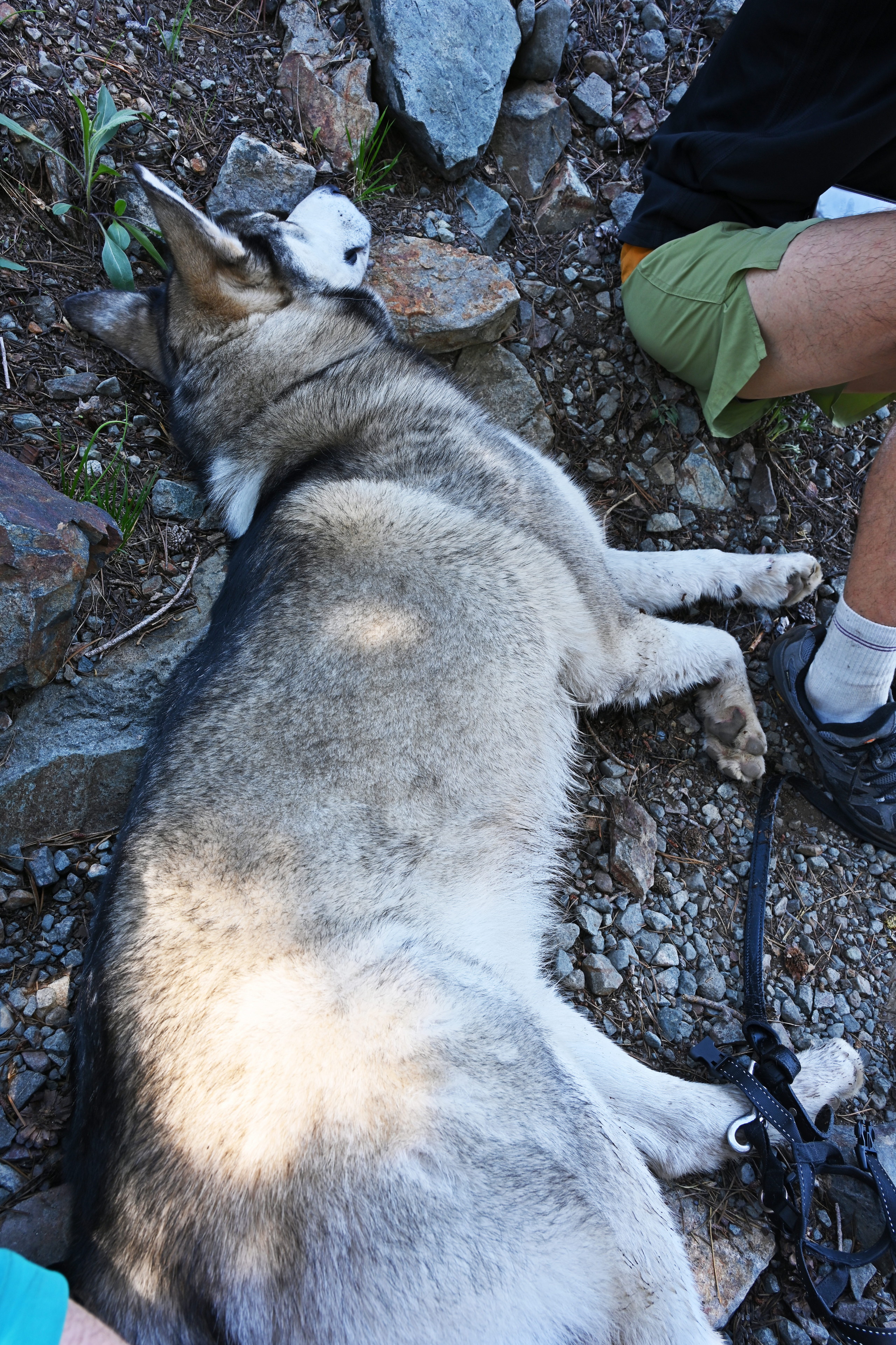
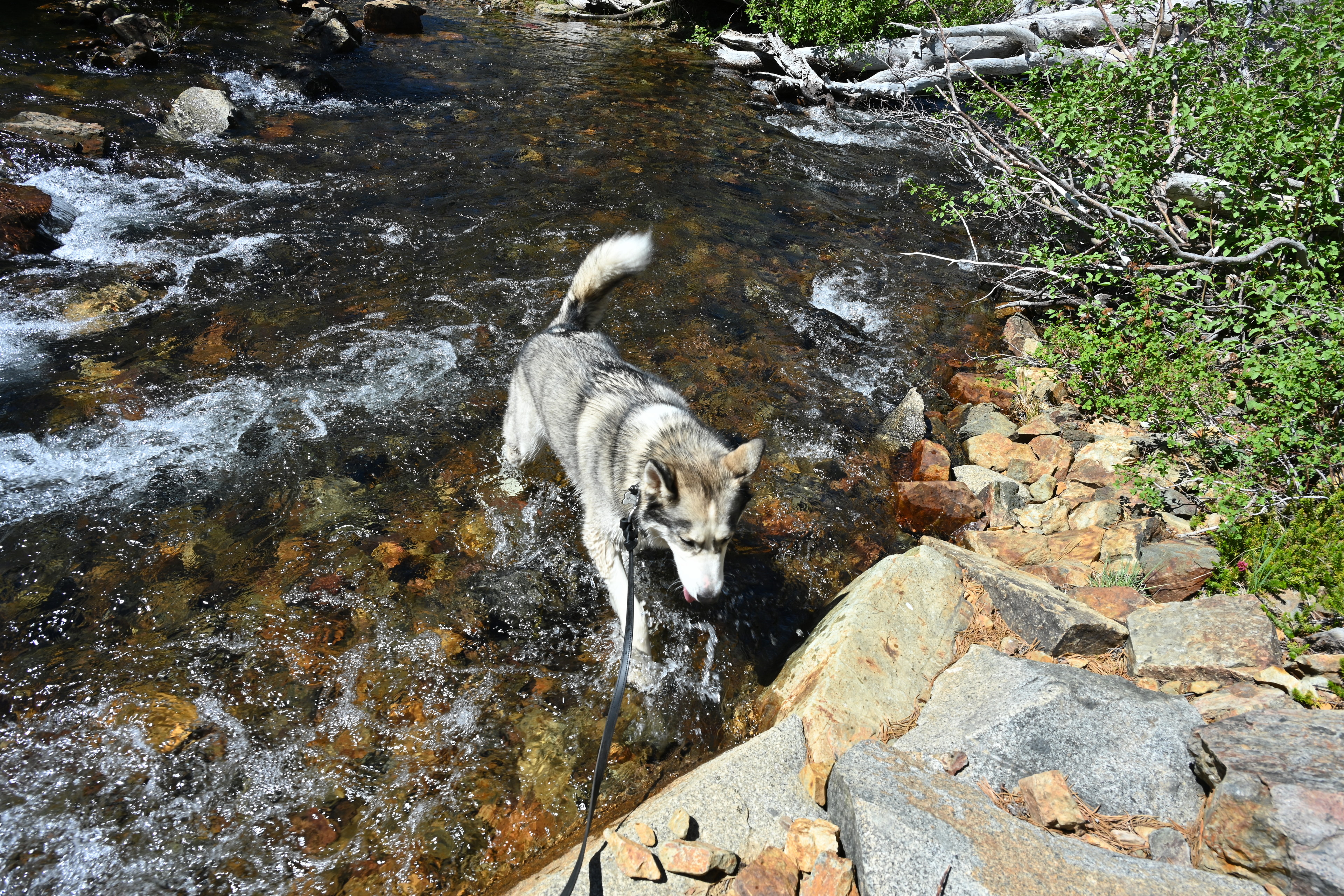
We made sure Ruffie got plenty of water, and he cooled down in a stream. I do wonder how much further he could have gone, as he seemed pretty happy once we were going back down.
Hiking back toward Lake Aloha from Susie Lake along the PCT.
Hiking back toward Lake Aloha from Susie Lake along the PCT.
Hiking back toward Lake Aloha from Susie Lake along the PCT.
Hiking back toward Lake Aloha from Susie Lake along the PCT.
Hiking back toward Lake Aloha from Susie Lake along the PCT.
We got back to our campsite at about 18:00 after being on the trail almost seven hours. Ruffie was definitely exhausted by this point and rested right on the snow. Turning back when we did was the right call.
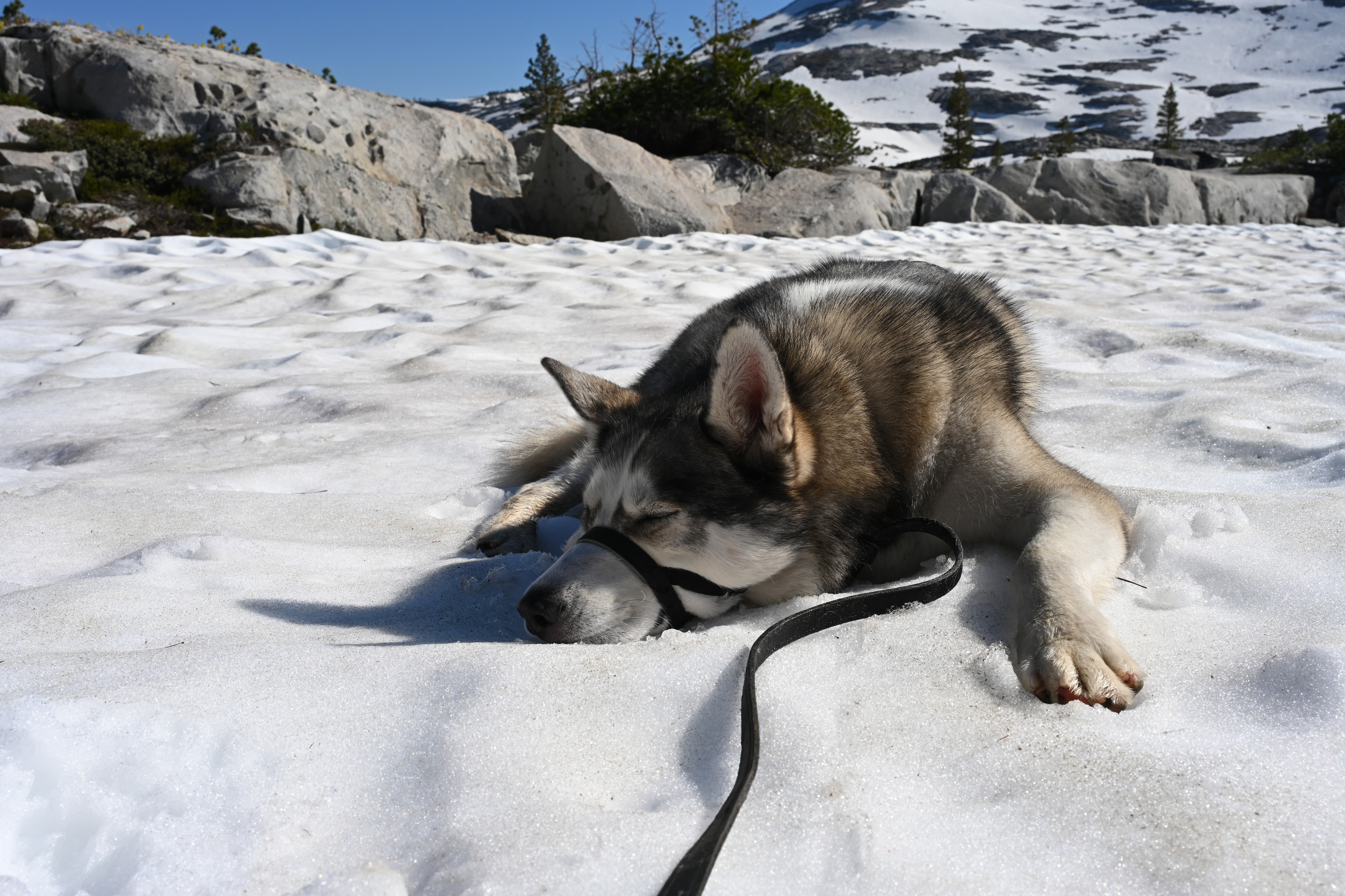
Hiking back toward Lake Aloha from Susie Lake along the PCT.
Earlier when his feet were wet, I saw they appeared to have some abrasion from the stones. Andrew took good care of him, cleaning his feet and then applying ointment.
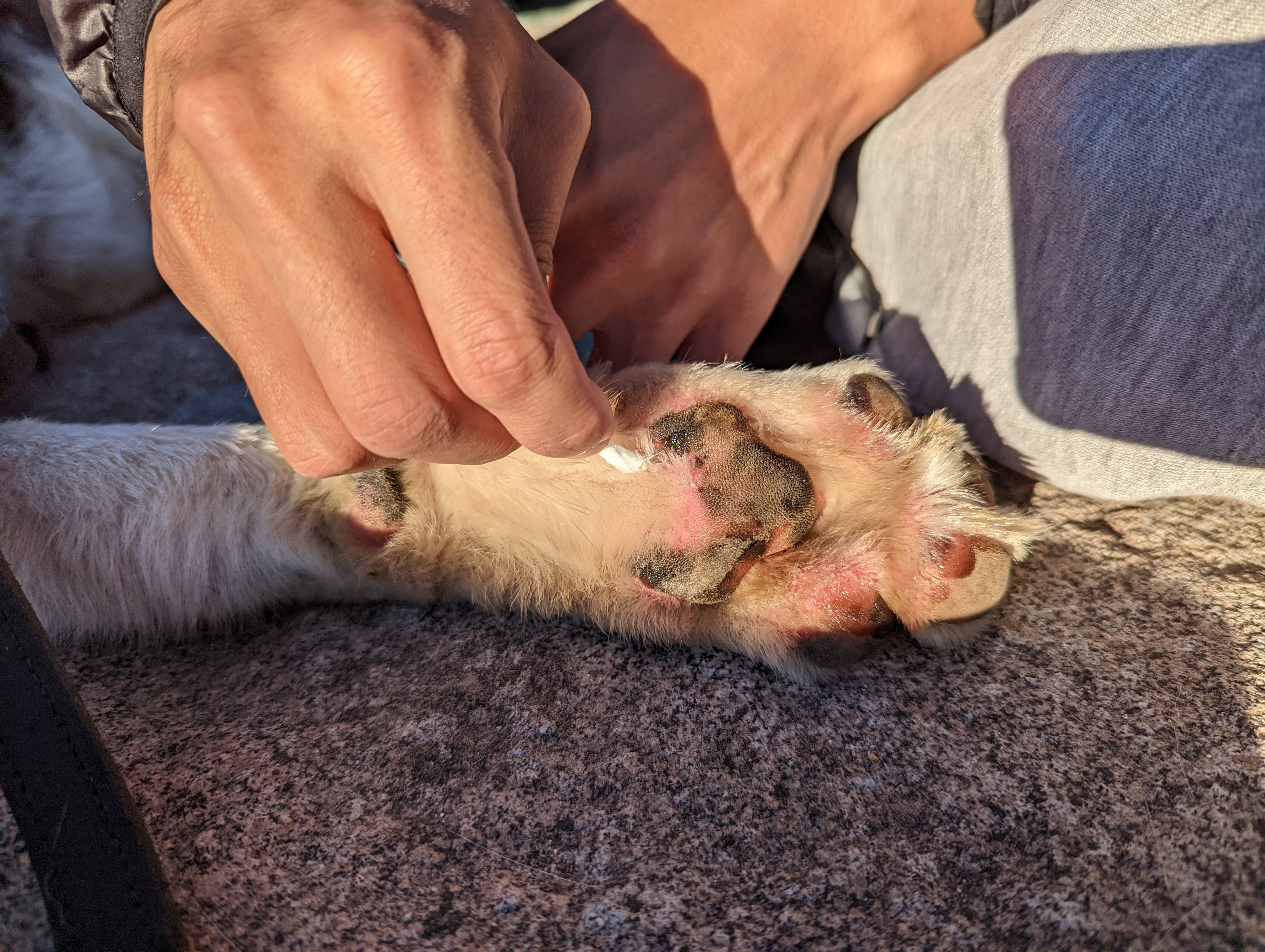
Ruffie's feet showed a bit of abrasion from walking on rough rocks, so Andrew gently cleaned them and applied Neosporin.
We relaxed the rest of the evening and went to bed a bit earlier.
Thursday
We began our day Thursday at a leisurely pace.
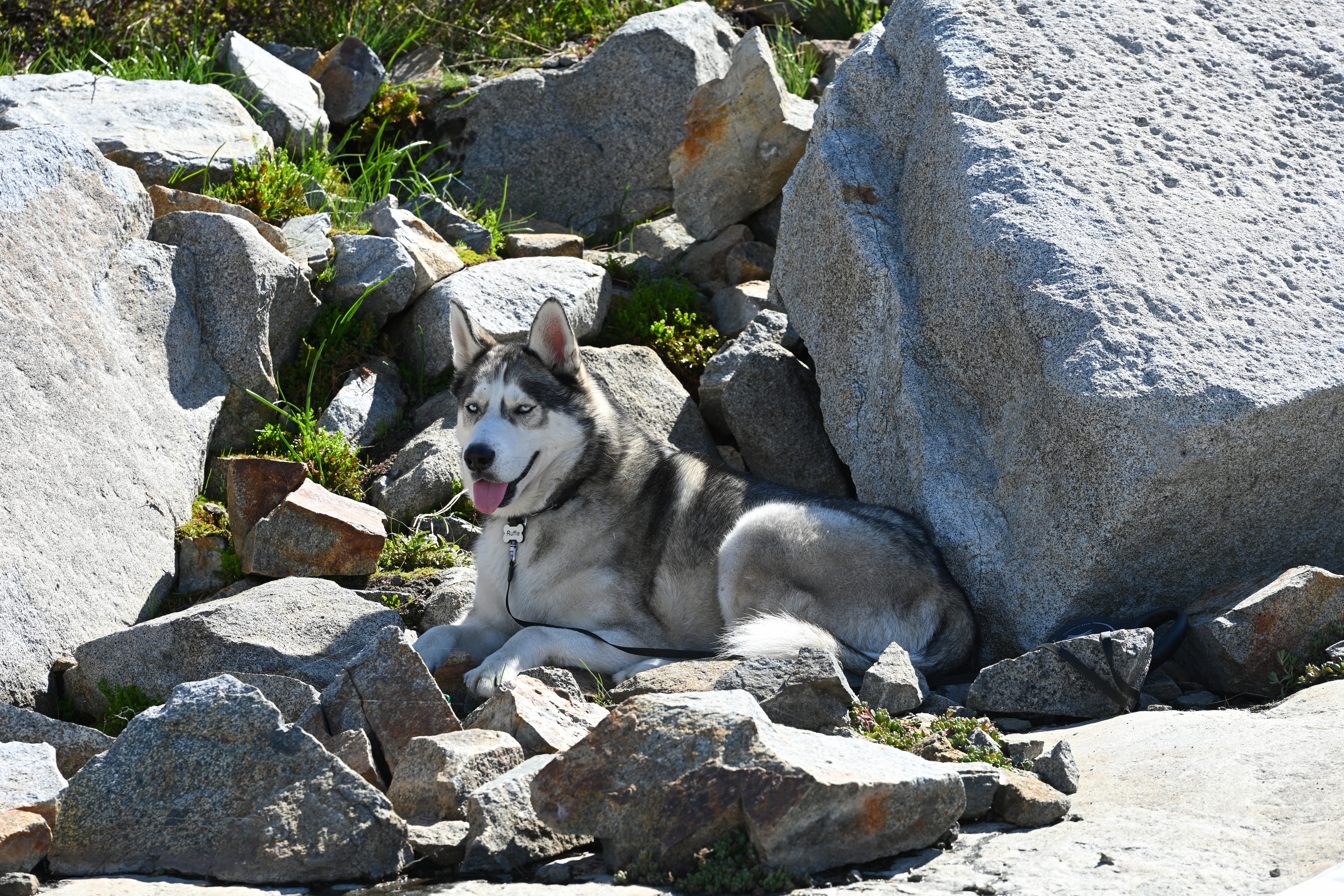
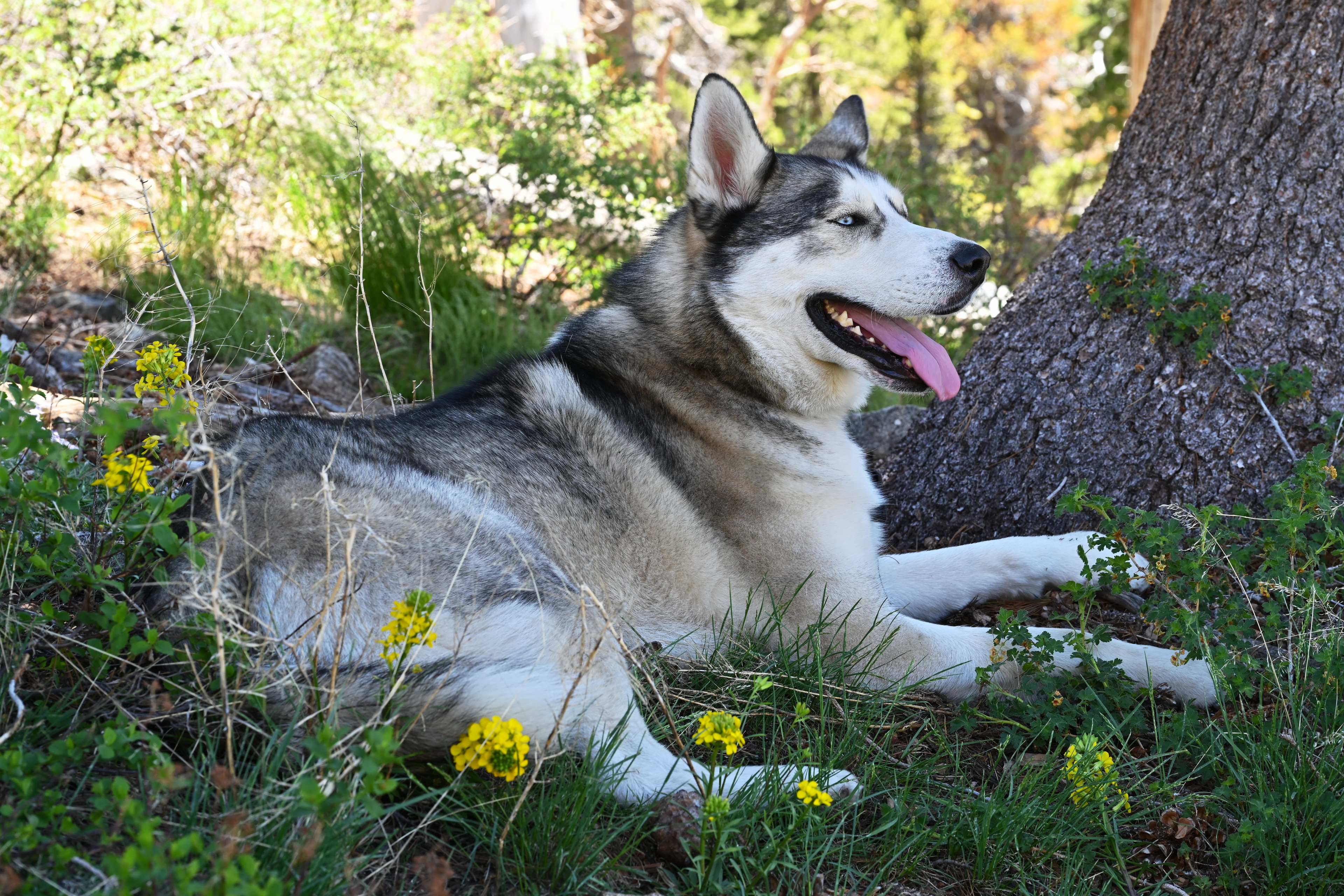
Hanging out at Lake Aloha
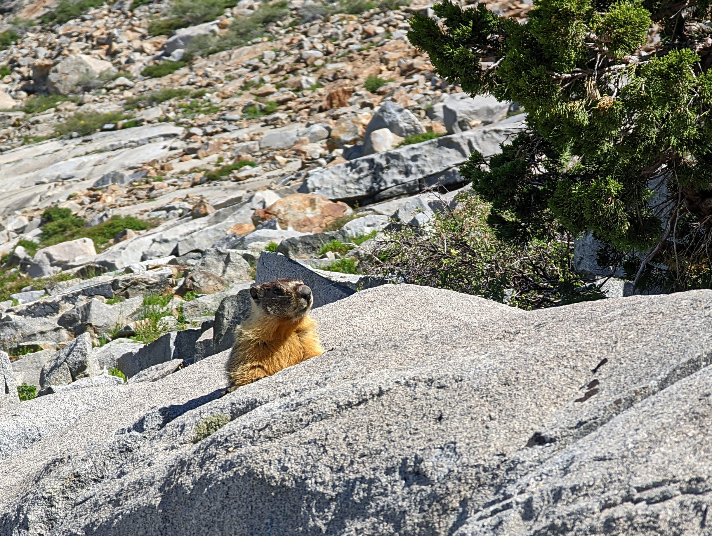
yellow-bellied marmot, Marmota flaviventris, a kind of ground squirrel, at Lake Aloha

Hanging out at Lake Aloha.
Hanging out at Lake Aloha.
Hanging out at Lake Aloha.
Hanging out at Lake Aloha.
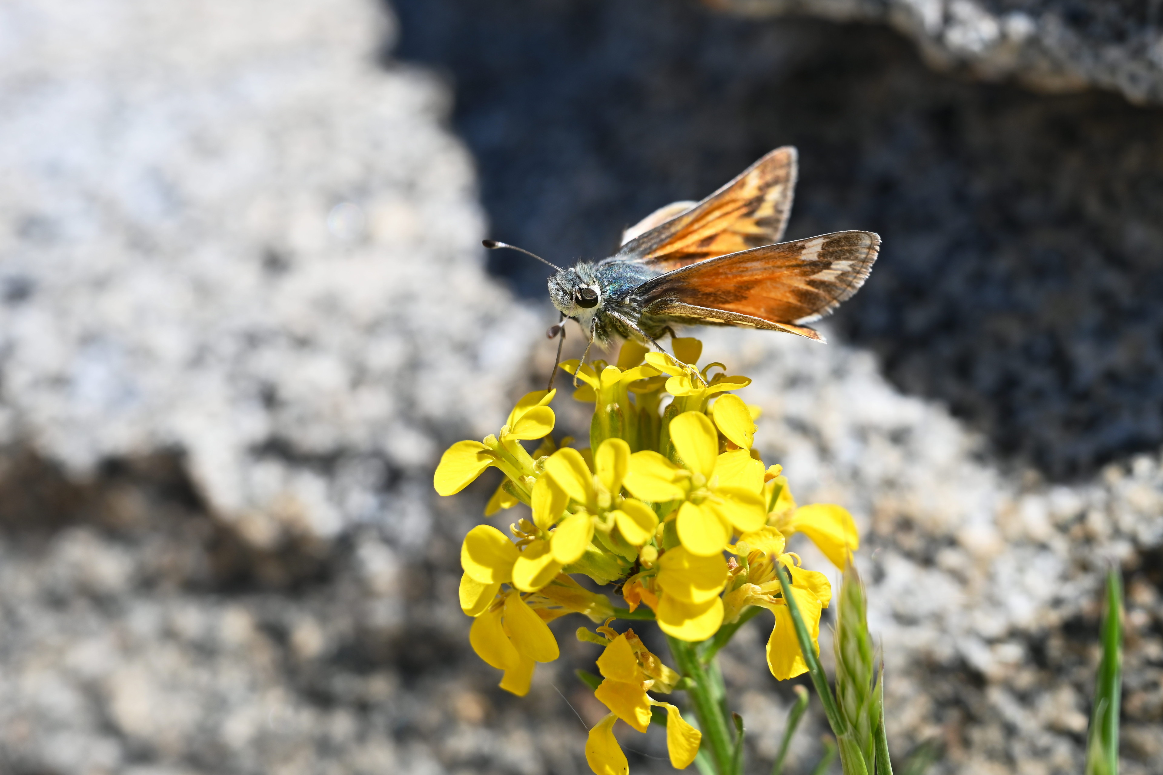
Some kind of skipper, perhaps Hesperia juba, near Lake Aloha.
At around noon, we decided to go somewhere.
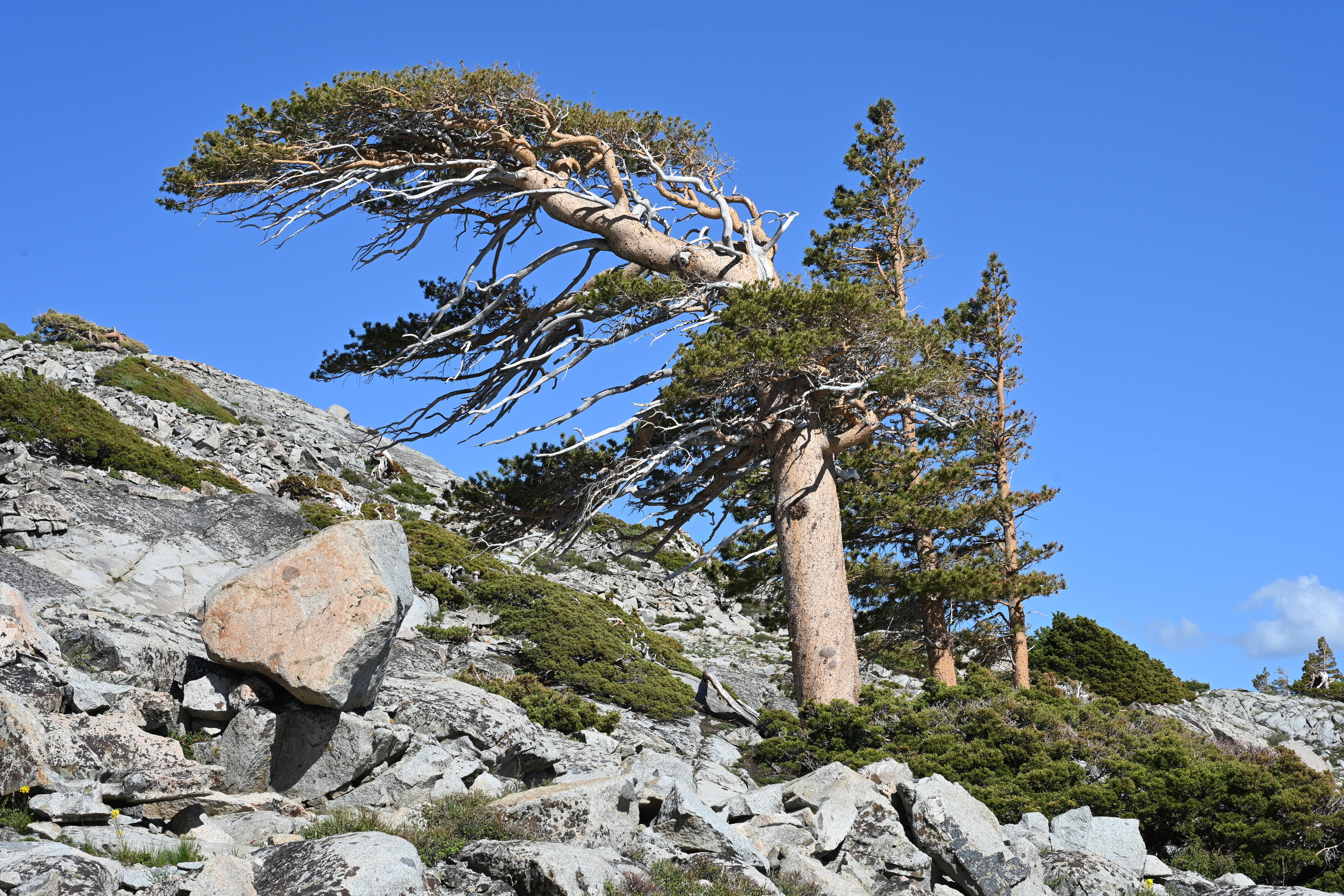
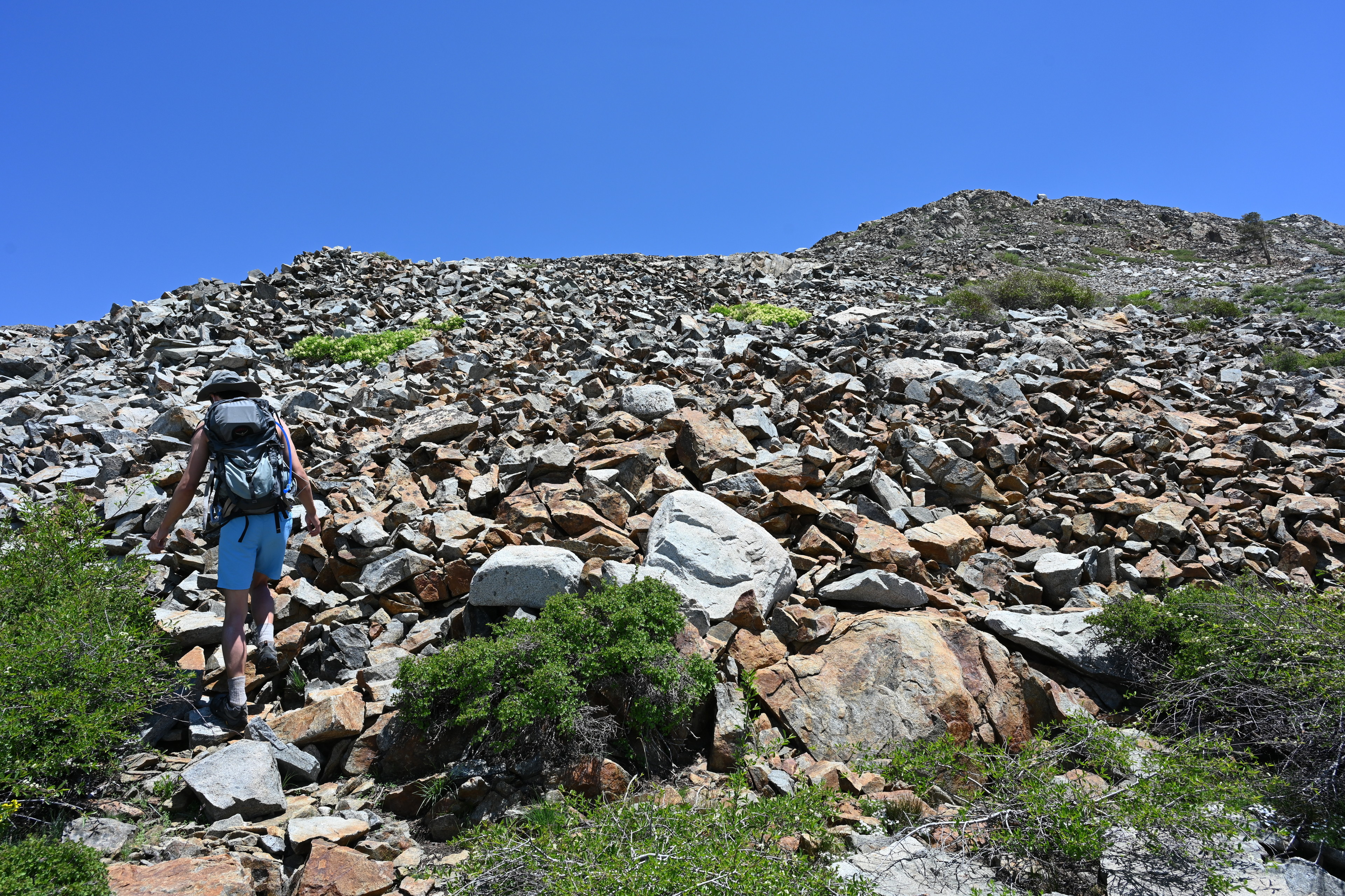
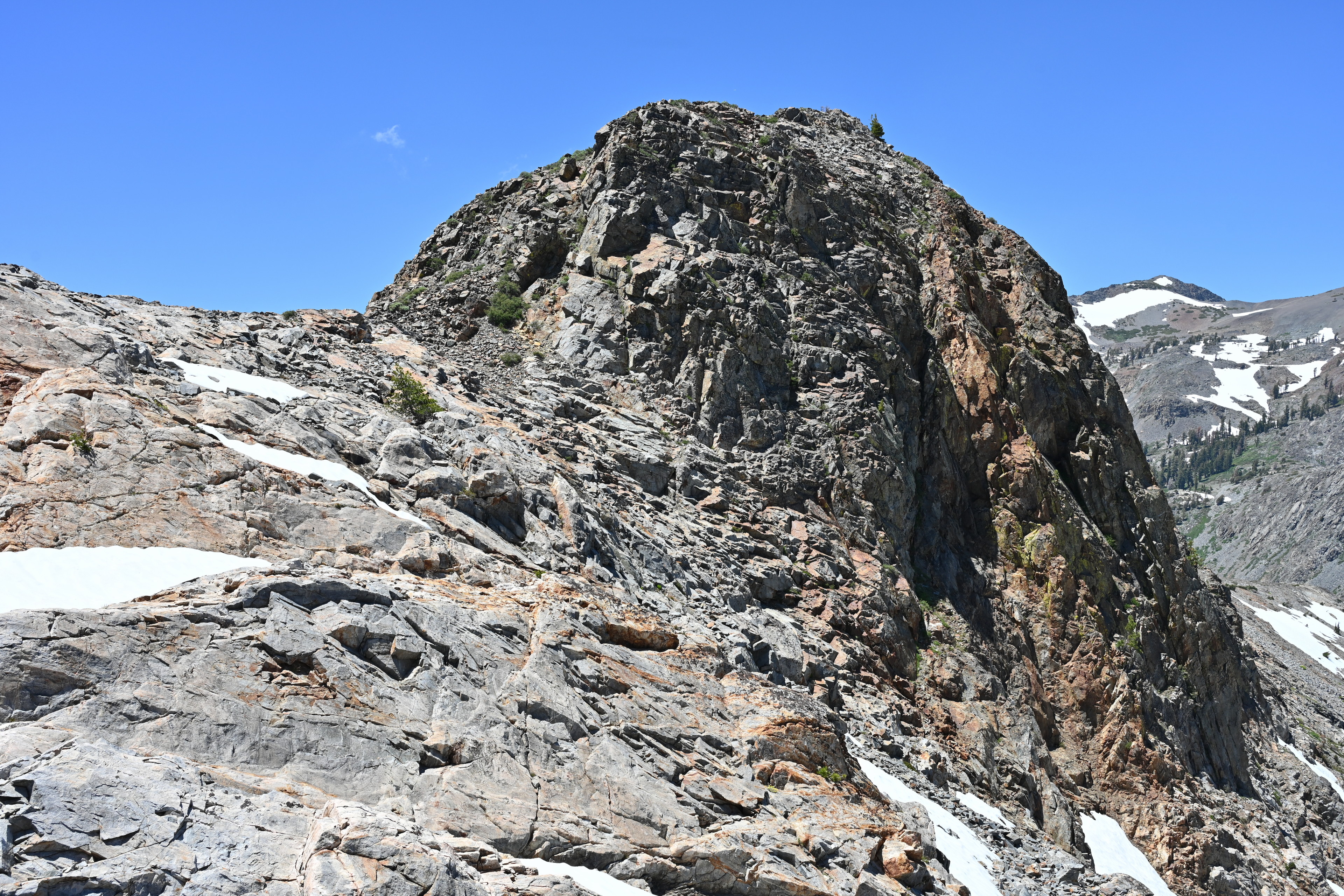
The other destination Andrew wanted to check out nearby was called Slabs of Insanity, off trail on the way to Mount Price. It seemed that was going to be about as far as to Mount Tallac, so we opted not to go based on Ruffie’s fitness level. Instead, I got the idea to try climbing the pile of rocks we were camped near, which is apparently called Cracked Crag.
It seemed like it shouldn’t be very hard, but not wanting to cause a rock slide, I thought we should try walking up the ridge. We walked around the edge of Lake Aloha for a while, and it started to become obvious the actual ridge was much further away than I thought. We cut directly up and looked for a place to keep Ruffie while we ascended the rocks.
Hiking around the base of Cracked Crag, looking for a relatively easy place to climb up. We left Ruffie tied to a tree in a place we could hopefully see him climbing up.
I found a spot with snow and shade near a tree, and attached his leash to a branch there. I also embedded his food bowl into the snow in hopes he wouldn’t knock it over so easily. When we walked away from him, he was jumping around a fair but, but eventually settled. I felt a little better but not good enough to dawdle.
Hiking around the base of Cracked Crag, looking for a relatively easy place to climb up. We left Ruffie tied to a tree in a place we could hopefully see him climbing up.
As we climbed up, the views became more and more amazing. It was easier to climb these rocks than I was expecting, as they were pretty jaggedly and interlocking.
Ascending the western side of Cracked Crag.
Ascending the western side of Cracked Crag.
Ascending the western side of Cracked Crag.
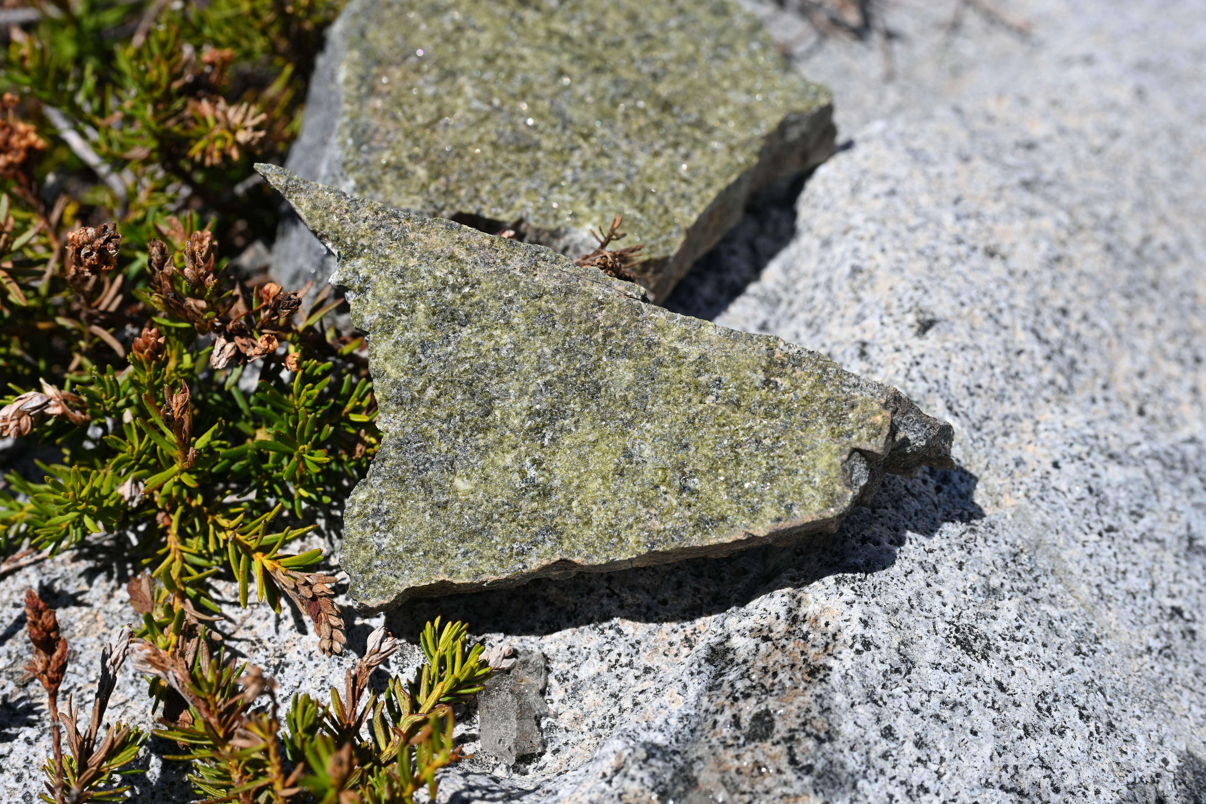
This piece of granite has a face entirely covered with epidote, a silicate mineral that often appears in veins in granite. The rock can then part along this vein, leaving a surface of exposed epidote.
Ascending the western side of Cracked Crag.
I felt more anxiety as we got near the peak. I mostly felt stable, but periodically a gust of wind or just my nerves would make me feel I could easily slip and fall. I kept going, and we reached a chasm blocking us from the actual peak. Of course my attempt to find an easier way up would result in us not getting there! Our almost-peak was almost as high as the real one, though, and we took some pics and decided to call it a success.
Views from near the top of Cracked Crag next to Lake Aloha.
View of the PCT along Heather Lake, from near the top of Cracked Crag next to Lake Aloha.
Views from near the top of Cracked Crag next to Lake Aloha.
We headed back down by a slightly different route. I was worried it was going to be a lot harder going down than up, but I did all right, and felt good when we got back off the cracked rocks!
Views from near the top of Cracked Crag next to Lake Aloha.
Views from near the top of Cracked Crag next to Lake Aloha.
Climbing back down Cracked Crag's western side toward Lake Aloha.
Views from near the top of Cracked Crag next to Lake Aloha.
Climbing back down Cracked Crag's western side toward Lake Aloha.
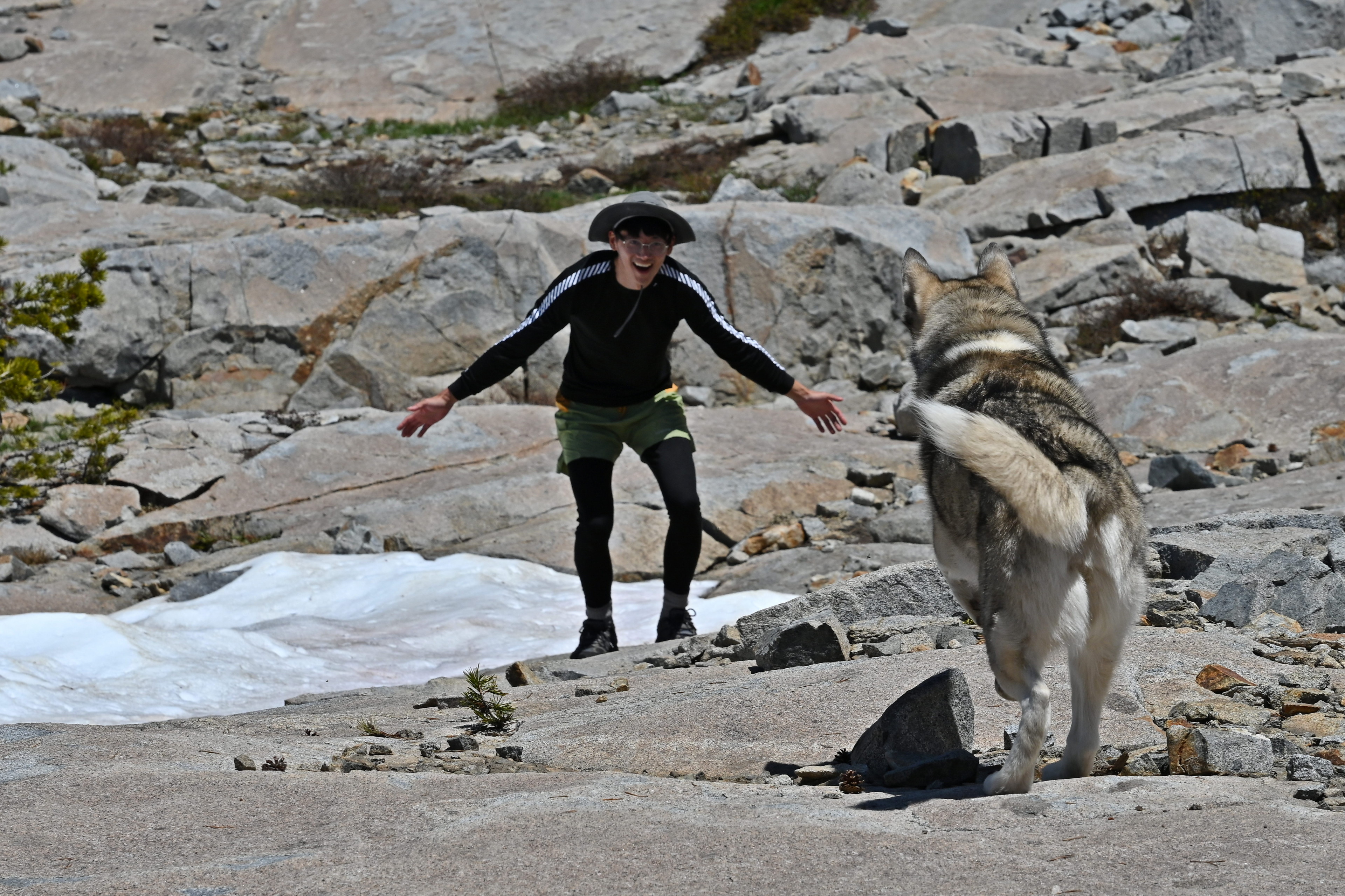
Ruffie was super excited when we reached him. He hadn’t eaten his food yet, but at least he was alive and still there.
We hung out by the water the rest of the afternoon, ate some mushrooms, and played a new-to-me card game called Hanabi. Andrew got a kick out of my trying to understand the rules, as I was a bit befuddled at the time. We managed to get through a trial run of the game, but didn’t yet play an actual round. It was interesting to me the object of the game is not to beat your opponent but rather to work with him to win together.
It got colder, so we hung out in the tent while Ruffie was outside tied to a bush.

Hanging out at Lake Aloha.
We spent the time getting to know each other better. I pestered him with many questions and got to learn about relationships and telangiectasias, small blood vessels visible on the skin. We talked about the concept of blocking on social media. About why you would want, or need, to end a friendship, and what that means. I fancy myself to be a reliable friend, open and loving, despite the mess fitting everyone in my life together can make. I’d rather be hopeful than capricious.
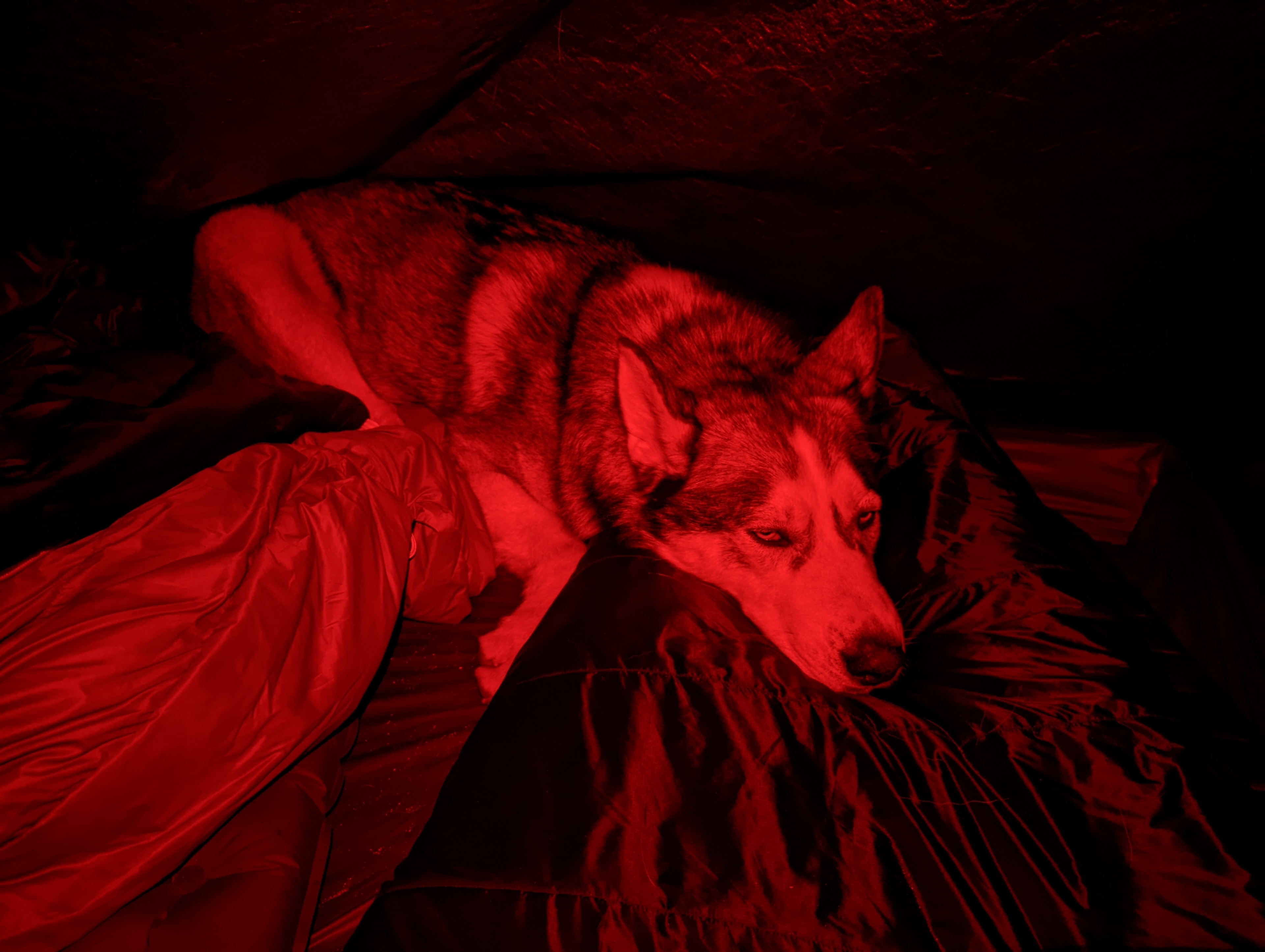
Ruffie started the night at my feet, but ended up between us as the night went on.
Friday
Andrew decided to get up super early Friday and make an attempt at Mount Price while I slept in with Ruffie. He headed out around 06:00 or 07:00 with just his small pack. He promised not to proceed beyond where he felt safe. Still, I worried a bit and asked at what time he was certain he would be back so I would know when to try to get help. I think we settled on 16:00.
I had a relaxing morning hanging out by the lake with Ruffie. I was considering taking him on a small side trek nearby when at around 11:30 Andrew showed up. Ruffie was so excited!
Ruffie was very happy when Andrew got back from his morning hike to the Slabs of Insanity.
I told Andrew that, as I was digging a hole up the hillside earlier, I couldn’t help but notice the path to the top of Cracked Crag appeared to be much easier to reach from the Eastern side. After a little discussion, we decided to give it another go. We walked with Ruffie till the end of the trees, and again attached him in a shady spot. This time I attached him to a large loose branch on the ground because the tree branches were a bit too high for him to be able to lie down in the shade. We didn’t leave him any food or water, but I was sure we’d be quick.
Next we hiked up the south east side of Cracked Crag and left Ruffie tied to a large branch in the shade.
Ascending the south west side of Cracked Crag.
Ascending this side felt a bit easier, though there was one section of steep loose rocks that I felt could actually be dangerous. I didn’t let Andrew follow too closely, and we found a way up.
Ascending the south west side of Cracked Crag.
Ascending the south west side of Cracked Crag.
Each time we reached a peak, we could see another peak past it. This kept happening, and as we got higher, it was getting scarier again. I started to think we should turn back and call it good enough. The winds were also getting crazy, they felt like hurricane force and we could barely stay up.
Ascending the south west side of Cracked Crag.
I climbed one more peak and saw the actual, real peak was going to be reachable, but still very scary. We walked over to it, staying away from the steep dropoff on the north side. We took some photos, and soaked in the views.

Ascending the south west side of Cracked Crag.
Ascending the south west side of Cracked Crag.
Views from the top of Cracked Crag next to Lake Aloha.
Then we headed back down!
Views from the top of Cracked Crag next to Lake Aloha.
It ended up taking more than an hour, but we made it. And then, still a ways away from him, we saw Ruffie had dislodged the branch from the stones I used to lock it in place. He was now making his way up the stony hillside with the large branch in tow behind him. I worried he was going to get stuck in a bad place or hurt himself in the rocks, so I started rushing down. I made it to him safely, but I was kicking myself for not attaching him more securely.
Climbing and hiking back down from Cracked Crag to our Lake Aloha campsite.
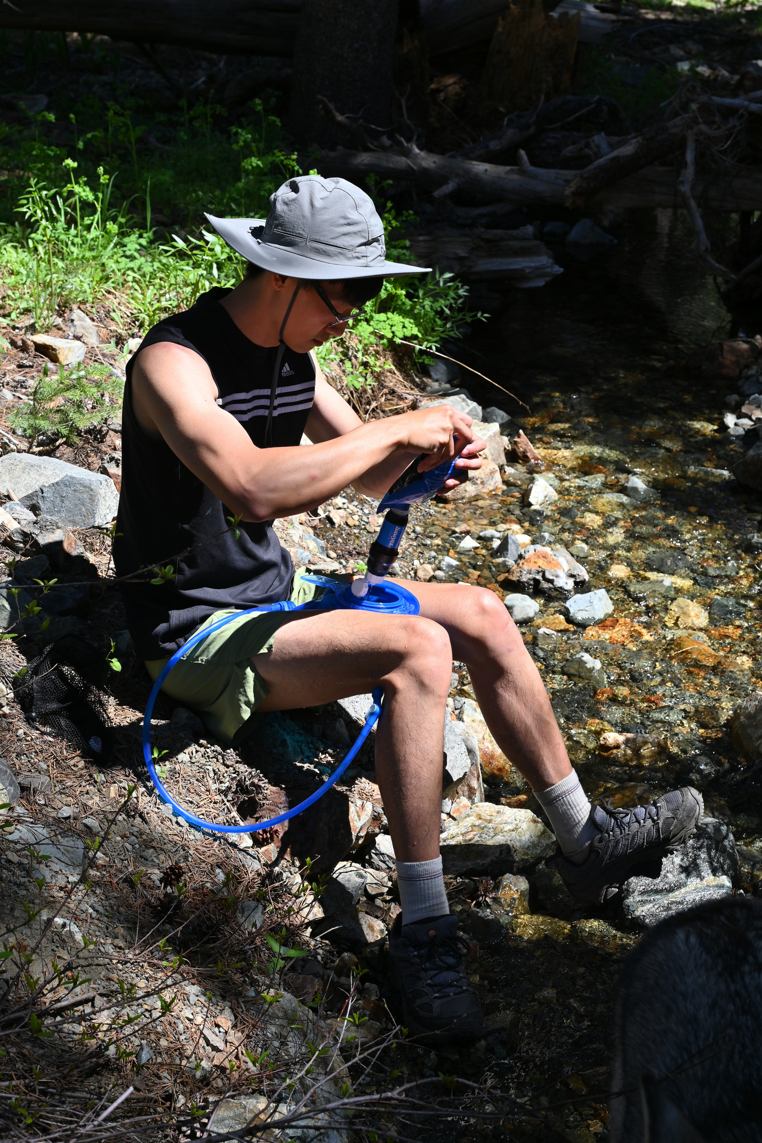
We headed back to camp, stopping for water a few times along the way. And then we packed up and prepared to hike home.

Ruffie drinking from a stream as we hiked back down from Cracked Crag to our Lake Aloha campsite.
It was a bittersweet moment once the tent finally was in the bag. The three days went so fast, but I am so happy we had them.
We finally packed up the tent and prepared to begin the hike out.
We commenced the 6.2 mile hike out at 16:52, almost exactly the same time we had begun it days before in the other direction. I felt pretty good then we’d make it out before dark, and we did.
I thought it was funny the water was running down the boardwalk, instead of us being able to walk on it to stay out of the water! Hiking back to the Echo Lakes trailhead from Lake Aloha along the Pacific Crest National Scenic Trail.
Hiking back to the Echo Lakes trailhead from Lake Aloha along the Pacific Crest National Scenic Trail.
I believe this is Ralston Peak. Hiking back to the Echo Lakes trailhead from Lake Aloha along the Pacific Crest National Scenic Trail.
Hiking back to the Echo Lakes trailhead from Lake Aloha along the Pacific Crest National Scenic Trail.
Hiking back to the Echo Lakes trailhead from Lake Aloha along the Pacific Crest National Scenic Trail.
Hiking back to the Echo Lakes trailhead from Lake Aloha along the Pacific Crest National Scenic Trail.
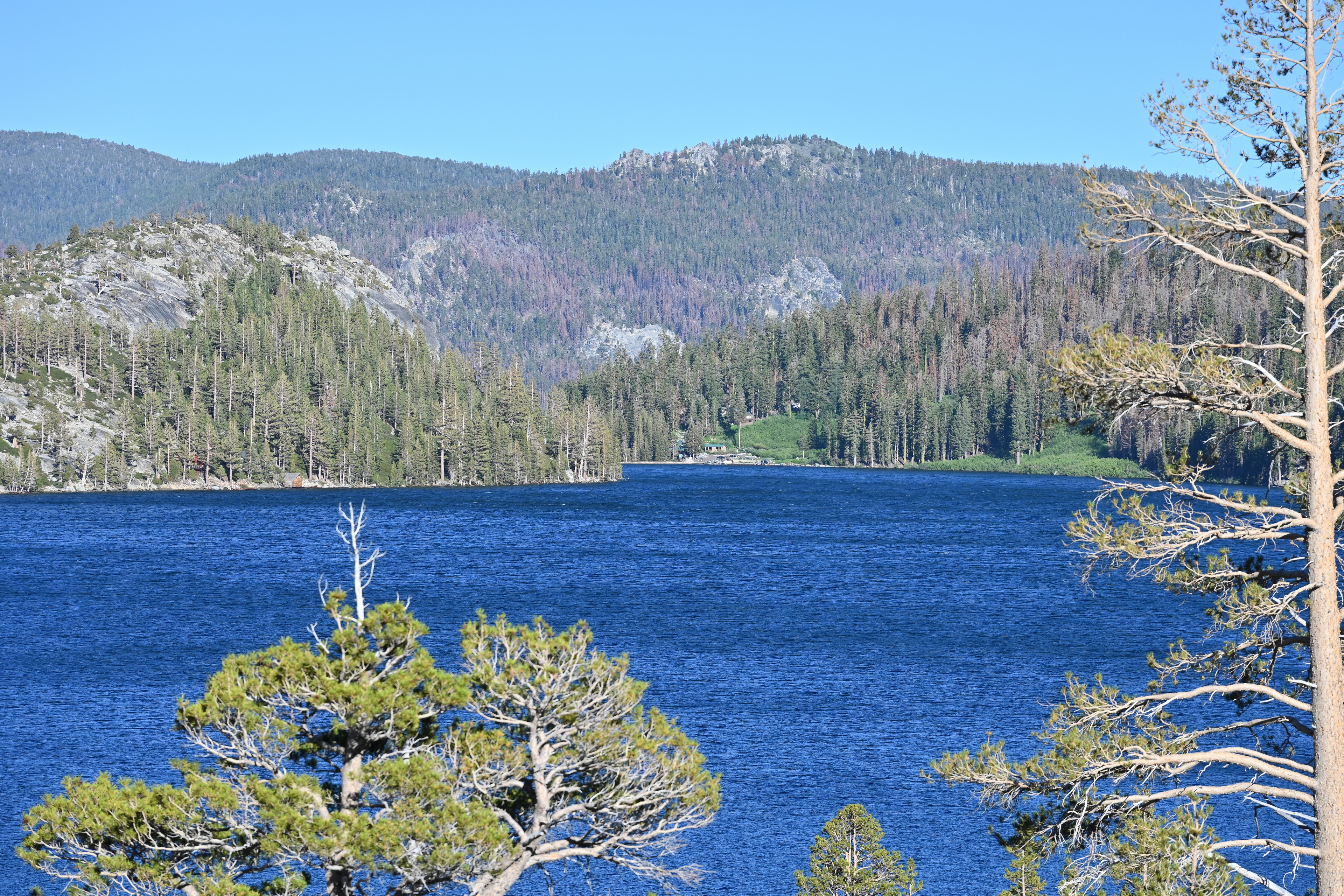
We finally reached Lower Echo Lake, hiking back to the Echo Lakes trailhead from Lake Aloha along the Pacific Crest National Scenic Trail.
When we reached the end of Echo Lake, I was very impressed Ruffie rushed right onto this bridge across the weir he was so afraid of on the way in that I needed to carry him from the harness. He is a good learner.
Hiking back to the Echo Lakes trailhead from Lake Aloha along the Pacific Crest National Scenic Trail.
He also enjoyed hopping up onto the side wall, as we practice “up” on most of our walks whenever there is a good obstacle he can practice on. Good boy!
We finally reached Lower Echo Lake, hiking back to the Echo Lakes trailhead from Lake Aloha along the Pacific Crest National Scenic Trail.
Hiking back to the Echo Lakes trailhead from Lake Aloha along the Pacific Crest National Scenic Trail.
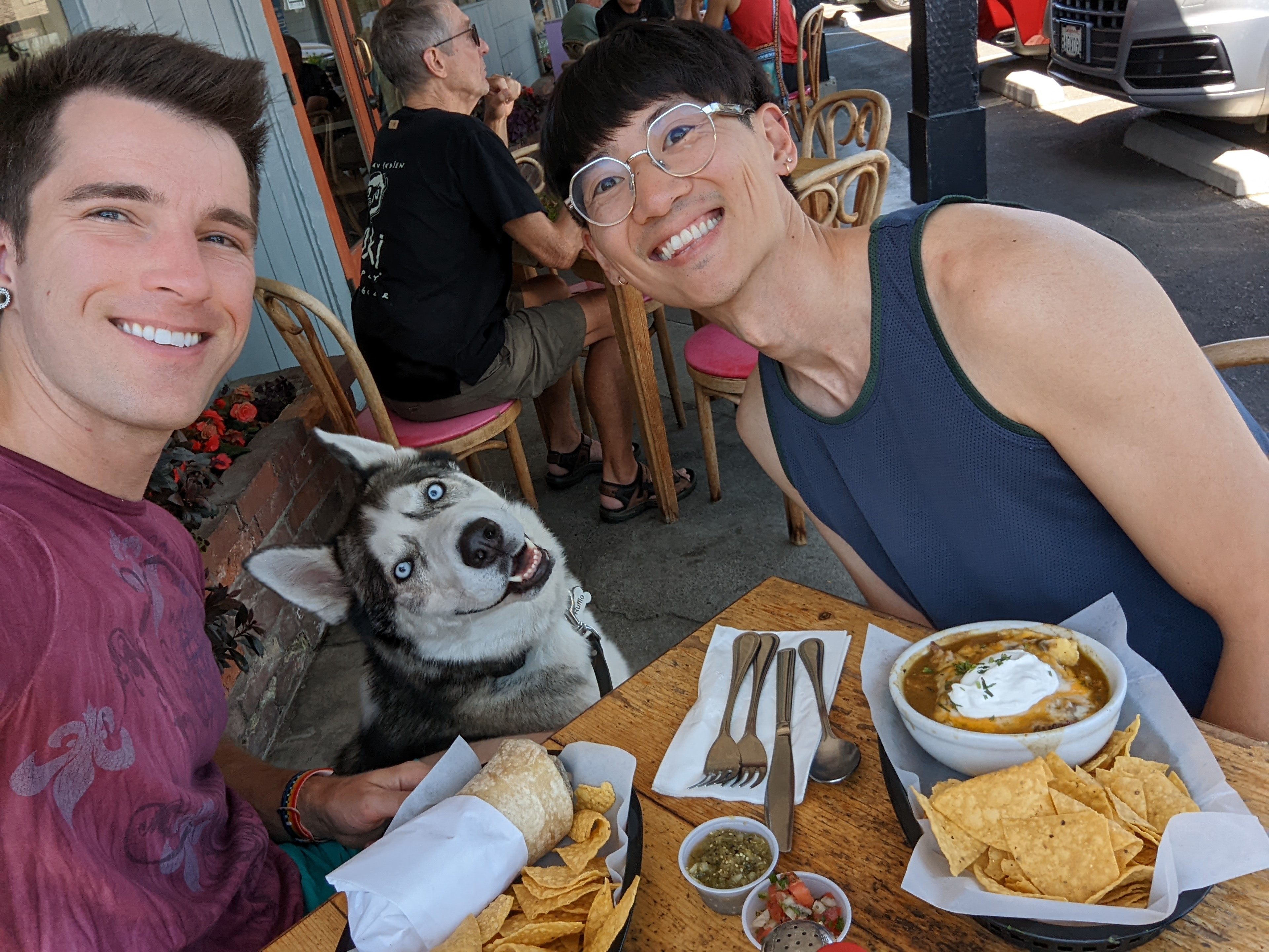
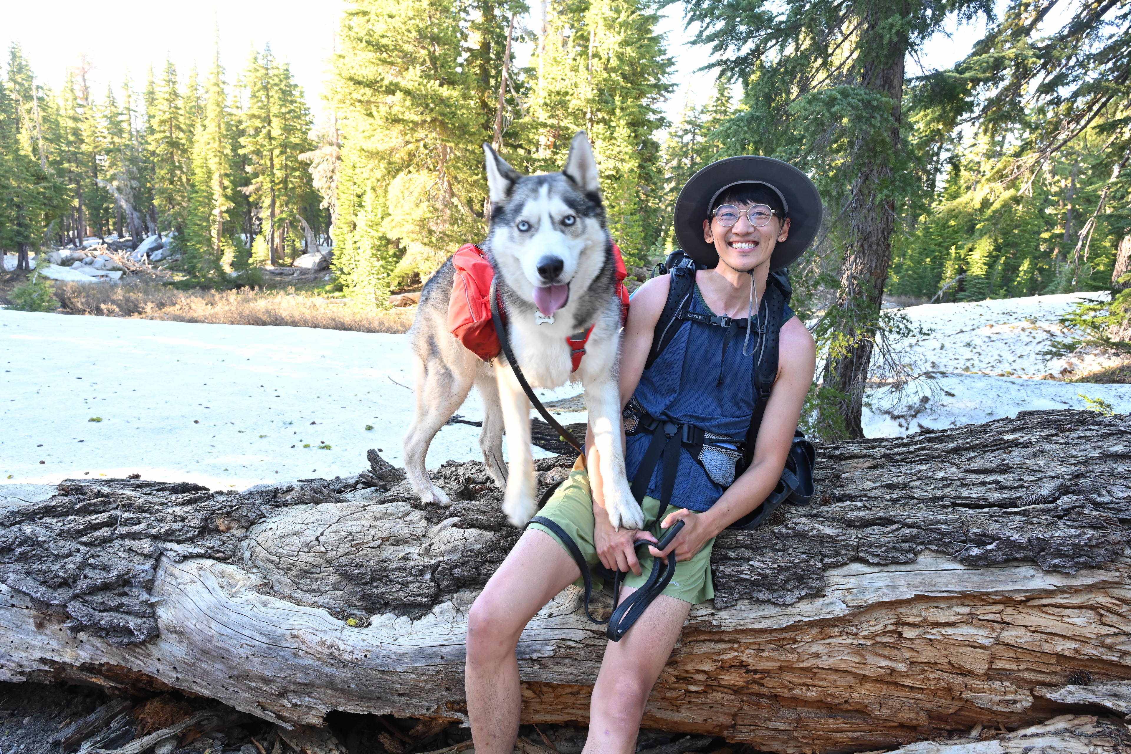
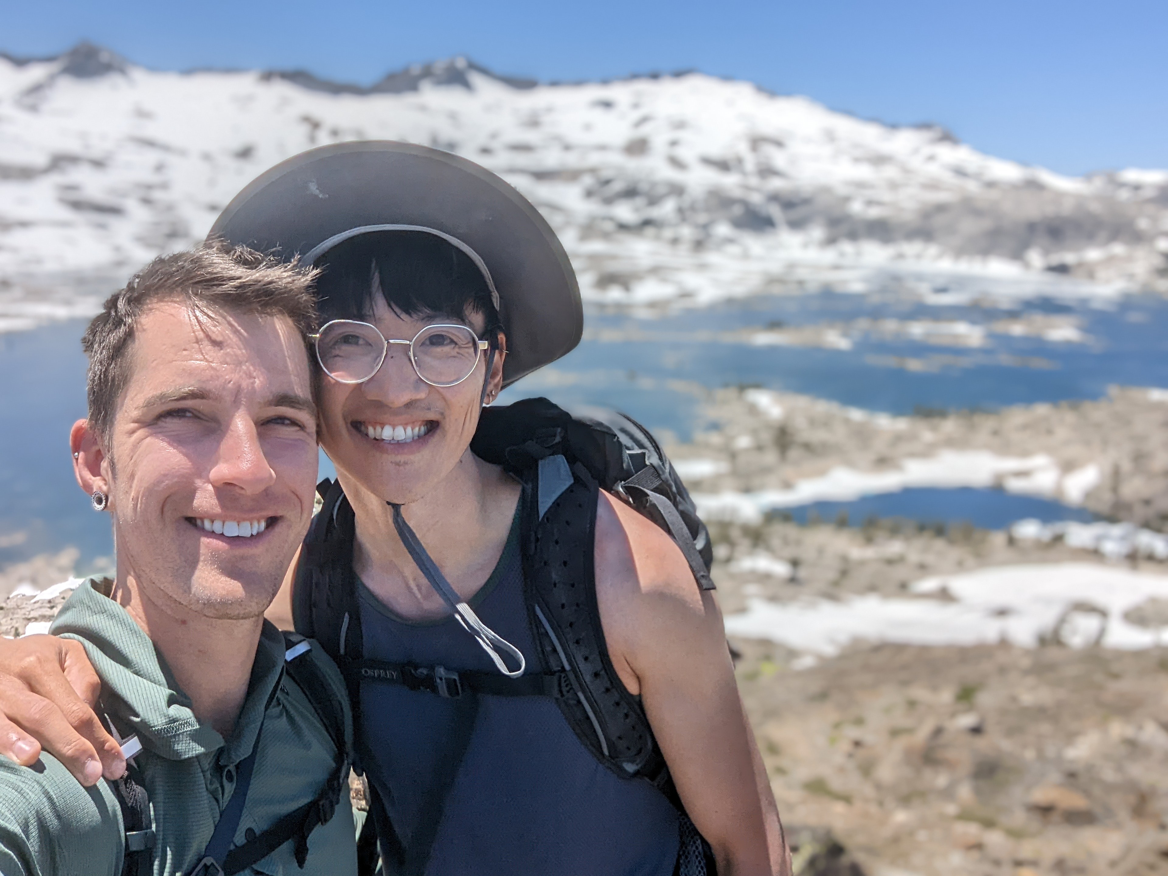
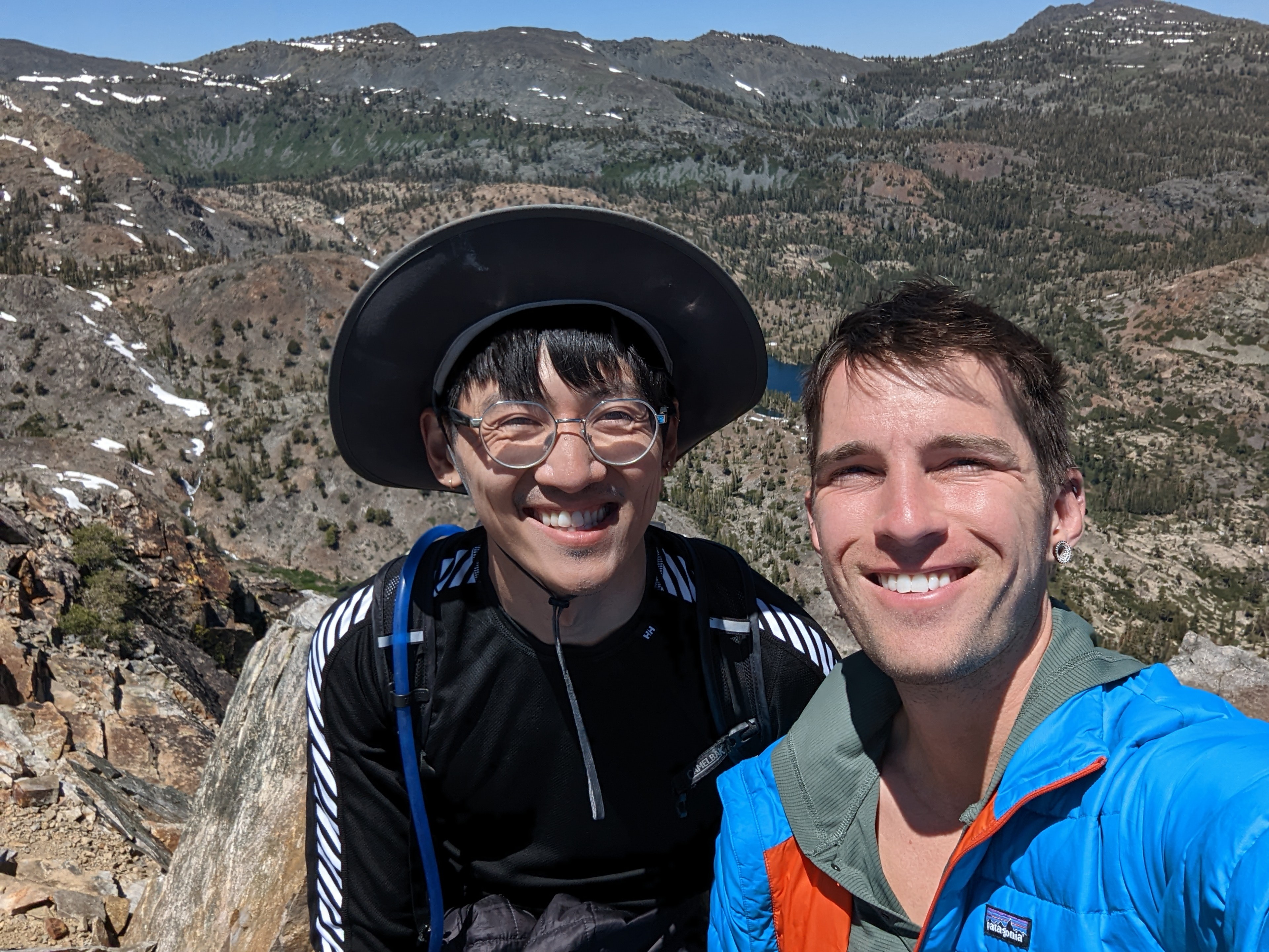
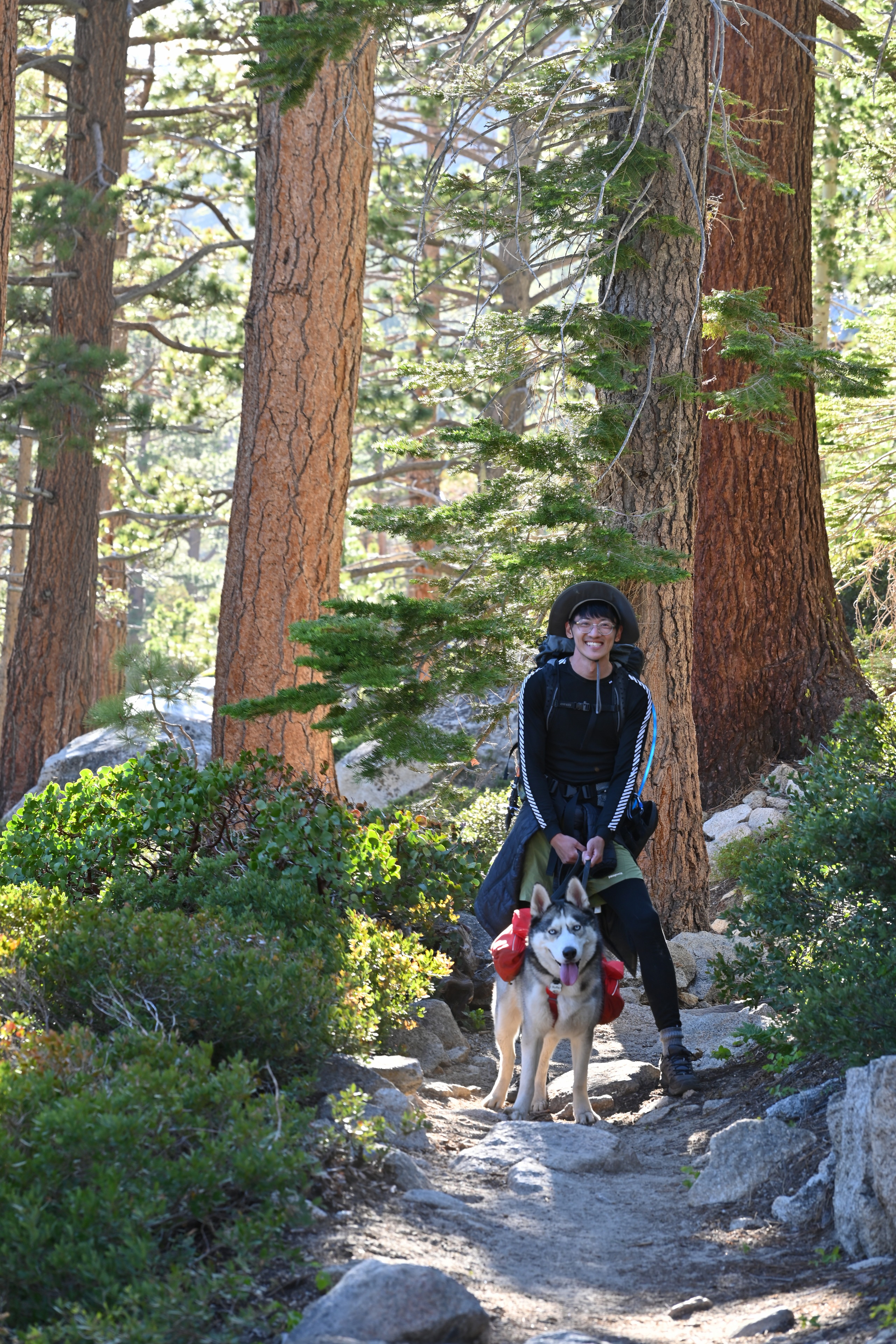
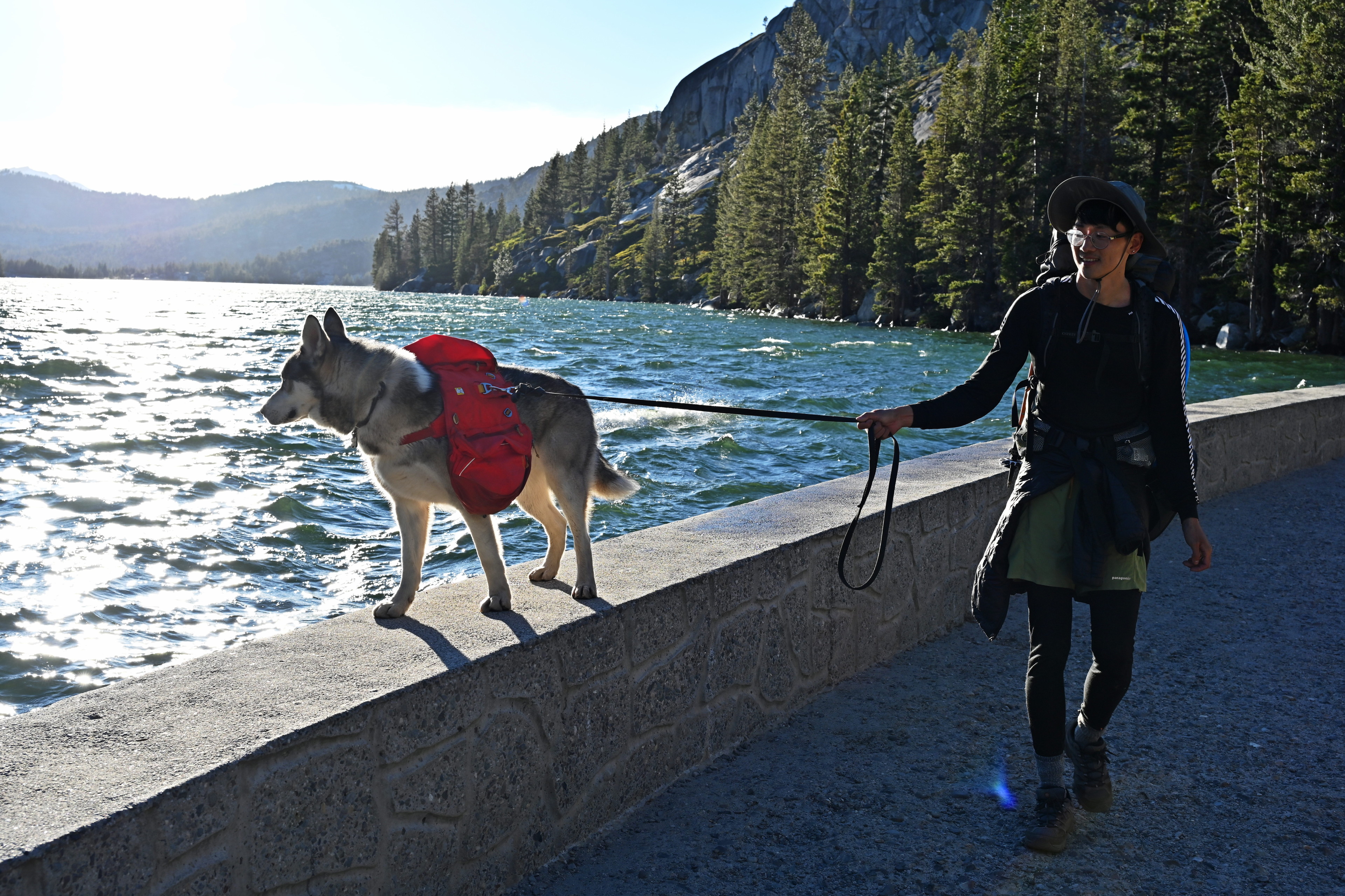
We took our time getting settled in the car, and I realized we hadn’t taken any photos of the three of us on the hike. Better late than never.
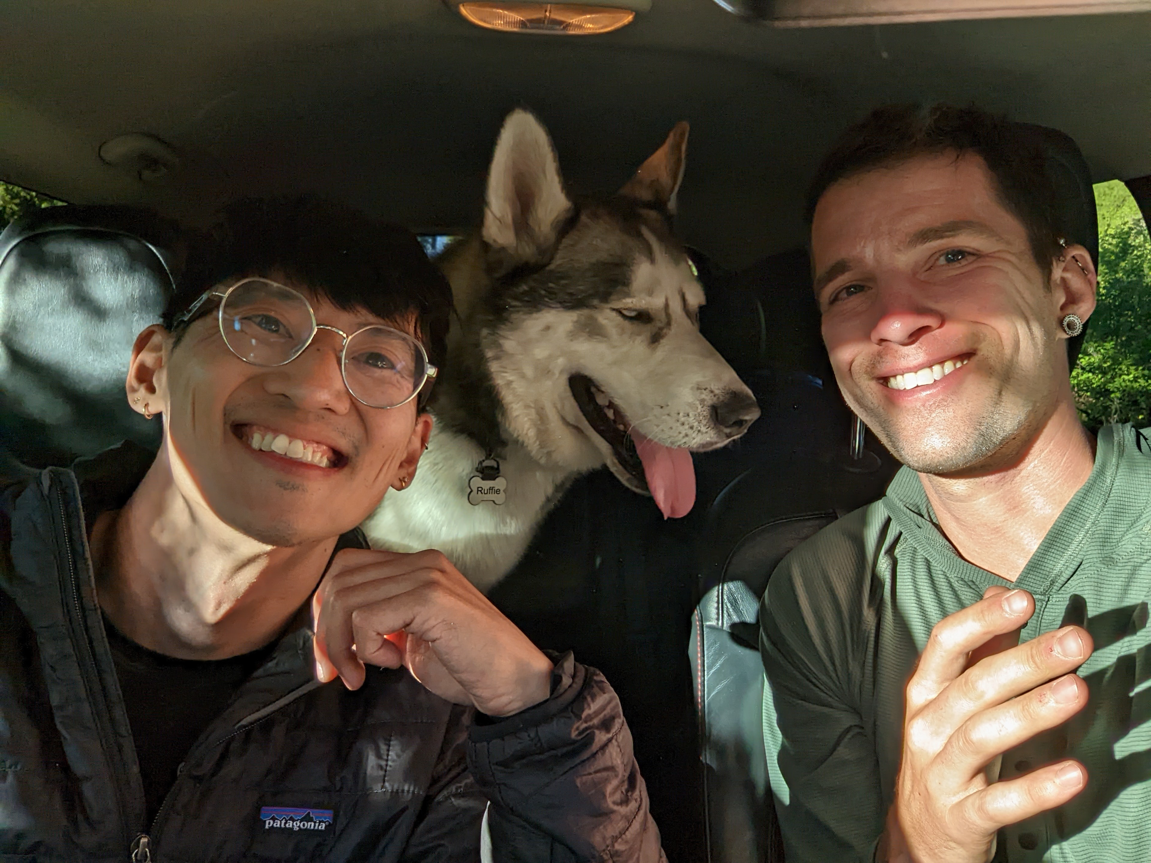
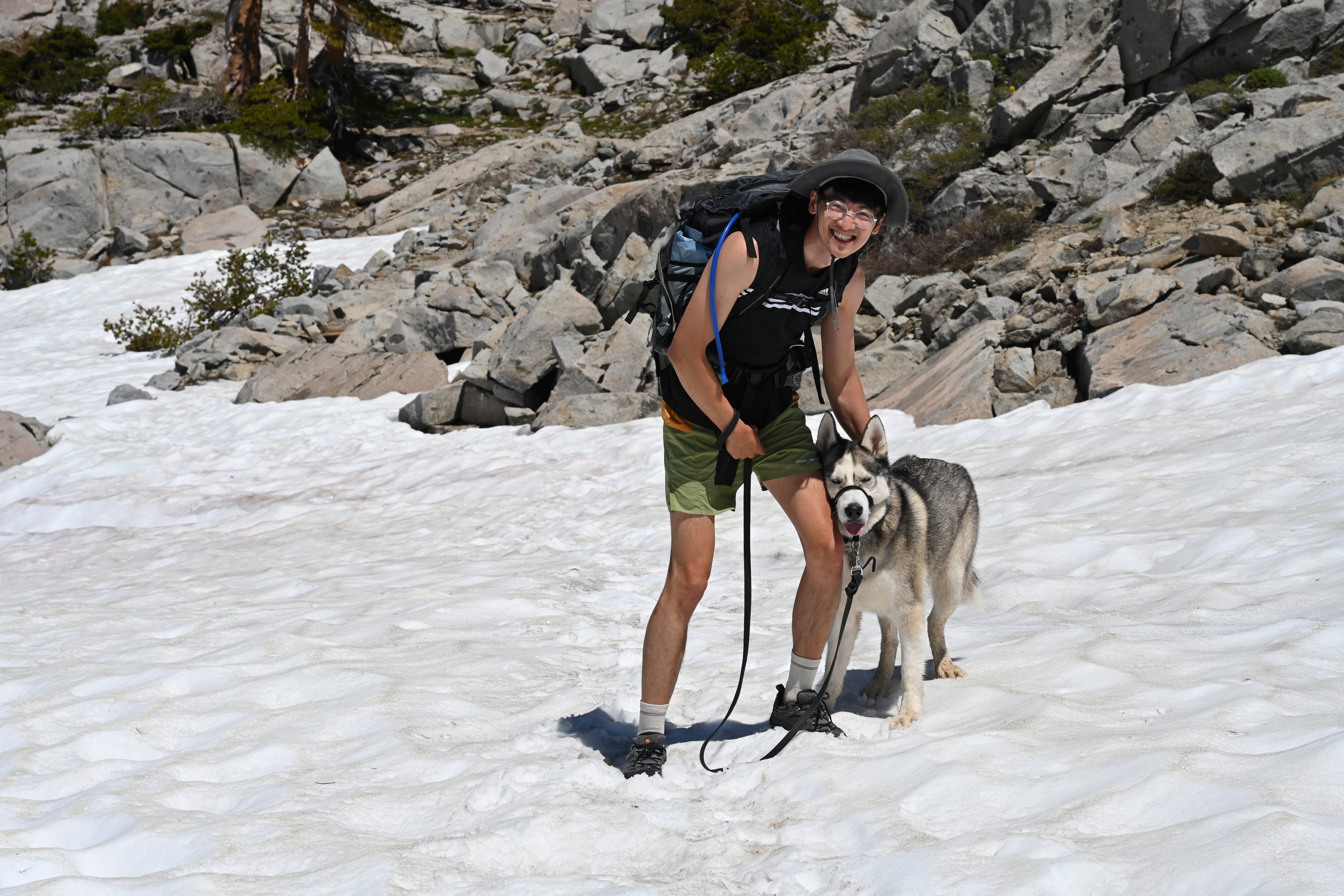
The three of us forgot to take selfies for the whole trip, so we managed one in the car at the end before driving away!
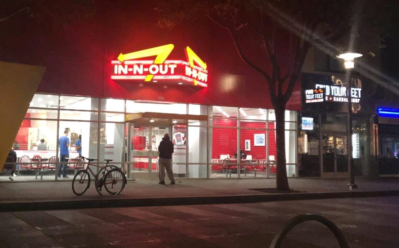
Driving home was peacefully uneventful, though I accidentally left a bottle of neem oil on the roof. We stopped at In-n-Out in Placerville and ate outside. We listened to some of The High Sierra: A Love Story by Kim Stanley Robinson. I drove, they slept, and all was well. Until next time!