Visiting Keith and the Central Cascades
This past weekend I redeemed my United frequent flier miles for a $5 round trip flight to Seattle to visit Keith and go camping. It was a blast!
The actual flight was suboptimal, as I had to take a 6 a.m. flight Friday morning. It was the only option in the “Super Saver” category for which my miles qualified, though, so I had to make due. It ended up sort of working out because I had a lot of work to do the night before, and I stayed up all night doing it. At the airport. Because BART only runs till 1:30, and doesn’t start again till around 5 a.m.
But I made it, and took the Link train from the SeaTac airport to Seattle’s Westlake neighborhood, where Keith lives. He picked me up from the station in a rent-by-the-minute GoCar and drove the mile to his place. I unloaded, reloaded, and then we set off for a mini tour of Seattle before meeting his friend of a friend who would be driving us to our backpacking adventure.

St. Spiridon Orthodox Cathedral in Seattle

Center for Wooden Boats in Seattle

Kids learning at the Center for Wooden Boats in Seattle

A steam powered boat at the Center for Wooden Boats in Seattle

Ducati Seattle, beautiful

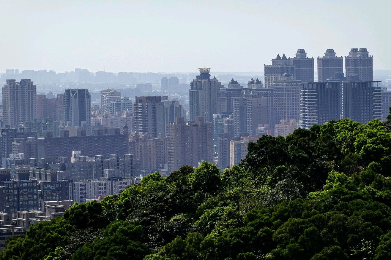
Seattle Center

Keith and I met Roger in his alley and then headed to [Necklace Valley](http://www.wta.org/go-hiking/hikes/necklace-valley)
We got on the road later than anticipated, and it was getting dark as we arrived at the Necklace Valley trail head. We began the hike into the dark and kept up for about an hour before finding a flat place to set up the tents. Keith and I were doing hammocks, so we weren’t as stressed about finding a great location.

Necklace Valley trailhead at the East Fork of the Foss River

The first night, we hiked about three miles in the dark and set up camp at the first flat area we found.
Then, Saturday morning, we were off by a little after 10 a.m. to finish the last nine miles or so till we reached the Tank Lakes, which would involve climbing somewhere between 4,000 and 5,300 feet of elevation in the last few miles of hiking.

We got up around 9 a.m. and packed up

Most of the hike was along the Foss River

Foss River in Necklace Valley outside Seattle

Foss River in Necklace Valley outside Seattle

Necklace Valley

Necklace Valley trail

Necklace Valley trail

A toilet along the Necklace Valley trail

Necklace Valley trail

Necklace Valley trail

Necklace Valley trail

Necklace Valley trail

Taking a break

There’s nothing like a giant mountain to make you feel significant

So high up, but so much more to go

Necklace Valley trail

Necklace Valley trail

Blueberries were all along the Necklace Valley trail

Foss River on the Necklace Valley trail

Keith was desperate for food after some of that elevation climb

Some giant rocks foreshadowing what was to come

Our first lake sighting

Jade Lake

Jade Lake in the Necklace Valley

The cabin in the woods

Our second lake

Underwater frog

Lake Emerald

CNG_1245.JPG

Opal Lake

CNG_1251.JPG

And then the route turned into giant rocks for most of the rest of the way

Luis climbing the rocks

Necklace Valley trail

Necklace Valley trail

Necklace Valley trail

Necklace Valley trail

Necklace Valley trail

Necklace Valley trail

Necklace Valley trail

Necklace Valley trail

Necklace Valley trail

Necklace Valley trail

Necklace Valley trail

Necklace Valley trail

Snow!

A river running under the frozen snow

A marmot

The photo doesn’t really capture how huge the mountains are

I made the trek in my Luna Sandals. These are my Leadville Pacers.
I did most of the hike that day in my Leadville Pacer Luna Sandals. These are the same sandals I ran my last two or three marathons in, and I love them. If you check them out using the links above, by the way, and make a purchase, you’ll be helping to support my web hosting costs!

We are almost up to the Tank Lakes

The lower Tank Lake, and we are home!
The hike that day took around eight hours, and it was exhausting!

The boys scope out a place for their tent

Beautiful Tank Lake

I first tried to hang the hammock out over a ledge, but it was just a little too far to actually get in it.

So Keith and I moved to this little cove

Hanging out on the rock

We are up in the clouds

Windswept trees

CNG_1383.JPG

A 10 second night exposure over Tank Lake

CNG_1391.JPG

Lower Tank Lake, the camping rock, and possibly Summit Chief Mountain

I think this is Summit Chief Mountain

CNG_1401.JPG

CNG_1405.JPG

A mini lake near Bonnie Lake

Beautiful Summit Chief Mountain
Sunday morning, we got up around 6:30, and it took the boys a while to get going, but we were off by 8:30 or 9. I hoped the mostly downhill hike would be easier and faster, even though I knew it was longer, as we were doing the entire thing in one day. Keith wanted to get out by lunch time, so that was the goal. Needless to say, it didn’t happen.
Time and again, we passed over terrain I didn’t recognize from the day before. We also got a little off path at a few of the earlier places descending the rocky mountain. Going downhill took a lot more mental concentration than uphill, even if it was less exhausting. I noted I was drinking less water on the descend, but my legs and feet were quite sore. The others’ knees were hurting, too. I think my knees were spared a bit by my lighter, more careful steps due to wearing the Luna Sandals. It was only toward the end of the hike that I felt any pain in my knees, and I wasn’t on any pain pills like everyone else was.

GPS marks for the photos I took along the Necklace Valley trail outside Seattle
We eventually made it out of the forest 5.5 grueling hours later, after taking more breaks and eating more food than we hoped. That didn’t stop us from pulling over at Zeke’s Drive In in Gold Bar, Washington, and ordering a ton of greasy food.

Zeke’s Drive In, Gold Bar, Washington

Zeke’s Drive In, Gold Bar, Washington

Zeke’s Drive In, Gold Bar, Washington